Browse / Afghanistan / Afghanistan / Kata Khil
Kata Khil
Afghanistanvillage
Air quality index
Demographic figures from National Statistics and Information Authority (Afghanistan). Overview below cites Wikipedia and may reference a different year.
City facts
Overview
Kata Khil is a village in Afghanistan. No reliable population estimate is published for this entry in the open data we rely on. Geographically it lies in the northern hemisphere at a warm temperate latitude (34.611°, 69.352°). Long-term weather observations show average highs near 65.8°F and lows near 45.2°F with about 15.4 in of annual precipitation (a relatively dry total). Based on its warm temperate position, residents likely encounter warm summers and cool winters. Open solar datasets indicate about 2,003 kWh/m² of solar irradiance per year, combined with sunshine for roughly 78% of daylight hours. The remainder of this page draws on open public data to describe the area's demographics, climate, environment and nearby amenities.
Summary composed automatically from structured open data on this page. See our Terms for details.
History & geography
Geography
Coordinates & boundaries from the US Census TIGER/Line shapefiles.
Climate
10-year averages from ERA5 reanalysis (Open-Meteo).
Air quality
Current readings from Open-Meteo Air Quality API (Copernicus CAMS European reanalysis).
Walkability
Amenities nearby
Wildlife & biodiversity
Most-observed species
- Laughing DoveSpilopelia senegalensis (Linnaeus, 1766) · Aves41
- Eurasian Tree SparrowPasser montanus (Linnaeus, 1758) · Aves34
- Eurasian MagpiePica pica (Linnaeus, 1758) · Aves31
- Barn SwallowHirundo rustica Linnaeus, 1758 · Aves26
- Common MynaAcridotheres tristis (Linnaeus, 1766) · Aves25
- Rock PigeonColumba livia J.F.Gmelin, 1789 · Aves19
- House SparrowPasser domesticus (Linnaeus, 1758) · Aves12
- White-eared BulbulPycnonotus leucotis (Gould, 1836) · Aves10
Citizen-science & research observations from the Global Biodiversity Information Facility (GBIF).
Earthquake history
Most recent
- M 4.1 — 2026-09-0220 km WNW of Ḩukūmatī Azrah, Afghanistan
- M 4.2 — 2026-08-2128 km S of Tagāb, Afghanistan
- M 4.5 — 2026-03-2142 km NE of Tagāb, Afghanistan
- M 4 — 2026-01-132 km WNW of Jabal os Saraj, Afghanistan
- M 4.1 — 2025-08-1347 km NW of Jabal os Saraj, Afghanistan
- M 4.1 — 2025-07-0244 km W of Charikar, Afghanistan
Events from the USGS Earthquake Catalog (global) (FDSN Event Web Service).
Photos
Sights & places nearby
Notable people from here
Nearby places in Afghanistan
Geography & sun
Elevation, sunrise/sunset and daylight from Open-Meteo. Solar climatology from NASA POWER.
Nearby airports
Public attention
Books about this place
Recent natural events nearby
Ground air-quality sensors
Recently spotted species
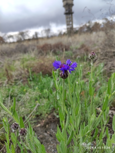
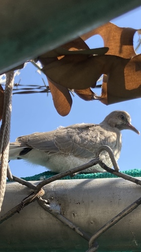
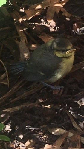
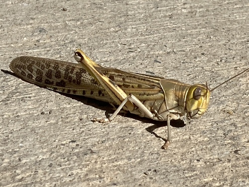
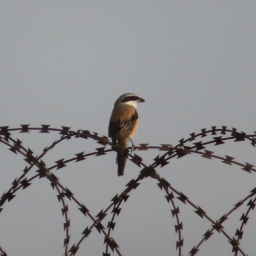
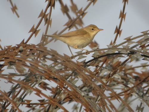
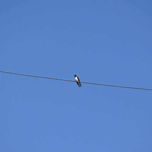
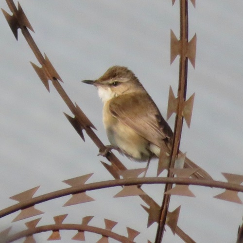
Research-grade observations from iNaturalist (within ~15 mi).
Events
Gallery
Sources
- • Open-Meteo (ERA5 reanalysis)
- • Wikidata
- • Open-Meteo Air Quality (CAMS)
- • USGS Earthquake Catalog (global feed)
- • GBIF (Global Biodiversity Information Facility)
- • iNaturalist
- • Open-Elevation
- • Open-Meteo / sunrise-sunset.org