Browse / Afghanistan / Afghanistan / Langar Khānah-ye Khōrd
Langar Khānah-ye Khōrd
Afghanistanvillage
Demographic figures from National Statistics and Information Authority (Afghanistan). Overview below cites Wikipedia and may reference a different year.
City facts
Overview
Within Afghanistan, Langar Khānah-ye Khōrd stands as a village. Detailed population figures are not currently catalogued in the open data sources we track. On the world map it falls within the Eastern Hemisphere, specifically at 36.745°, 67.024°. Its latitude implies a climate characterised by warm summers and cool winters. Detailed open-data panels follow, covering demographics, climate, geography, wildlife and nearby settlements.
Summary composed automatically from structured open data on this page. See our Terms for details.
History & geography
Geography
Coordinates & boundaries from the US Census TIGER/Line shapefiles.
Climate
Air quality
Walkability
Amenities nearby
Wildlife & biodiversity
Most-observed species
- Rock PigeonColumba livia J.F.Gmelin, 1789 · Aves51
- Laughing DoveSpilopelia senegalensis (Linnaeus, 1766) · Aves43
- Eurasian Tree SparrowPasser montanus (Linnaeus, 1758) · Aves40
- Barn SwallowHirundo rustica Linnaeus, 1758 · Aves32
- Common SwiftApus apus (Linnaeus, 1758) · Aves25
- Eurasian MagpiePica pica (Linnaeus, 1758) · Aves24
- Common MynaAcridotheres tristis (Linnaeus, 1766) · Aves17
- Rosy StarlingPastor roseus (Linnaeus, 1758) · Aves5
Citizen-science & research observations from the Global Biodiversity Information Facility (GBIF).
Earthquake history
Most recent
- M 4.3 — 2026-07-3126 km SSW of Mazār-e Sharīf, Afghanistan
- M 4.5 — 2026-02-1230 km SW of Khulm, Afghanistan
- M 6.2 — 2025-11-0230 km SE of Mazār-e Sharīf, Afghanistan
- M 4.3 — 2025-10-0119 km E of Qarqīn, Afghanistan
- M 4.3 — 2025-06-0619 km ESE of Khulm, Afghanistan
- M 4.3 — 2025-06-0631 km ESE of Khulm, Afghanistan
Events from the USGS Earthquake Catalog (global) (FDSN Event Web Service).
Photos
Sights & places nearby
Notable people from here


People born within ~10 km, from Wikidata (CC0). Click any name for their Wikipedia article.
Geography & sun
Nearby airports
Public attention
Books about this place
Recent natural events nearby
Ground air-quality sensors
Recently spotted species
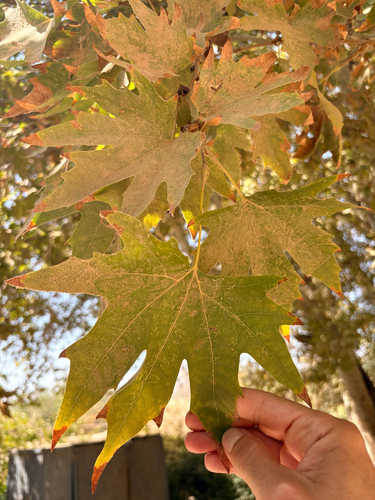
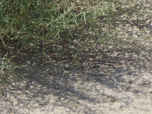
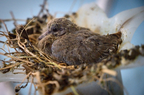
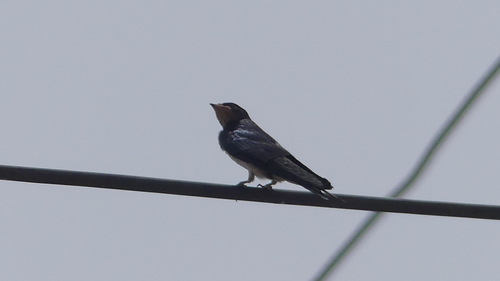
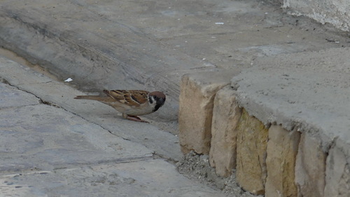
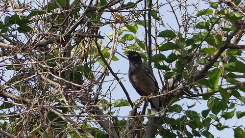
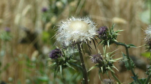
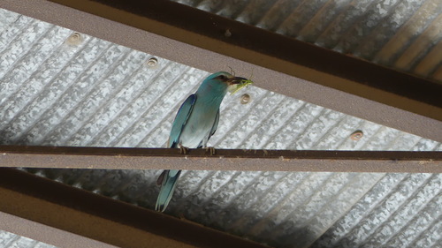
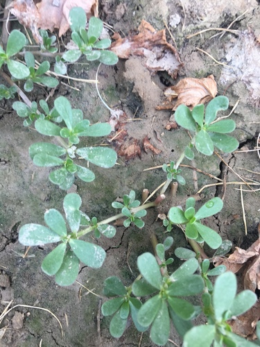
Research-grade observations from iNaturalist (within ~15 mi).
Events
Gallery
Sources
- • Wikidata
- • USGS Earthquake Catalog (global feed)
- • GBIF (Global Biodiversity Information Facility)
- • iNaturalist