Browse / United States / Alaska / Eagle
Eagle
Alaskacity

Eagle
Total population
95
Median home value
$39,400
Bachelor's+
Median income
$41,750
Founded
1874
Air quality index
Demographic figures from US Census Bureau · ACS 5-year estimates. Overview below cites Wikipedia and may reference a different year.
- Special Weather Statement · ModerateSpecial Weather Statement issued September 30 at 6:02AM AKDT by NWS Fairbanks AK
- Special Weather Statement · ModerateSpecial Weather Statement issued September 29 at 3:16PM AKDT by NWS Fairbanks AK
Source: NOAA National Weather Service.
City facts
Facts from Wikidata (CC0).
Overview
Eagle is a village on the south bank of the Yukon River, near the Canada–US border in the Southeast Fairbanks Census Area in Alaska, United States. It includes the Eagle Historic District, a U.S. National Historic Landmark. As of the 2020 census, Eagle had a population of 83. Every February, Eagle hosts a checkpoint for the long-distance Yukon Quest sled dog race.
Read more on WikipediaHistory & geography
History
For thousands of years prior to Europeans arriving in Alaska, the Eagle area was home to many indigenous peoples, including the Han. The first known American-built structure in Eagle was a log trading post called "Belle Isle", erected around 1874. Subsequently, in the late 1800s, Eagle became a supply and trading center for miners working the upper Yukon River and its tributaries. By the year 1898, Eagle's population had exceeded 1,700 persons; many newcomers journeyed to the area with word of the Klondike Gold Rush. In 1901, Eagle became the first incorporated city of the Alaska Interior. It was named for the many eagles that nested on nearby Eagle Bluff. A United States Army camp, Fort Egbert, was built at Eagle in 1900. A telegraph line between Eagle and Valdez was completed in 1903. In 1905, Roald Amundsen arrived in Eagle and telegraphed the news of the Northwest Passage to the rest of the world. The ensuing gold rushes in Nome and Fairbanks eventually lured people away from Eagle. In 1903, Judge James Wickersham moved the Third Division court from Eagle to Fairbanks. By 1910, Eagle's population had declined to its present-day level, below 200 people. Fort Egbert was abandoned in 1911. Present-day Eagle is home to (mostly) people of European descent; nearby Eagle Village has a small population that is about 50 percent Han. The town enjoyed some notoriety, as the setting of John McPhee's book Coming into the Country, first published in 1977 and becoming quite popular. Many of the buildings from the Gold Rush years are preserved as part of the Eagle Historic District, a National Historic Landmark district. The Eagle area also is one of the locales featured on the National Geographic Channel series Life Below Zero.
Geography
Eagle is located at (64.786022, -141.199917), in a straight line about west of the border between Alaska and the Yukon Territory of Canada at the 141st meridian west. Eagle is on the southern bank of the Yukon River at the end of the Taylor Highway, near Yukon–Charley Rivers National Preserve. According to the United States Census Bureau, the city has a total area of , all land.
Excerpted from the corresponding Wikipedia article (CC BY-SA).
Demographics & economy
Race & ethnicity
Source: US Census Bureau — American Community Survey, 5-year estimates.
Geography
Coordinates & boundaries from the US Census TIGER/Line shapefiles.
Climate
Current forecast
Forecast for Eagle, AK from NOAA NWS API.
Air quality
Current readings from Open-Meteo Air Quality API (Copernicus CAMS European reanalysis).
Industrial & pollution facilities
Natural hazard risk
Health (adults)
Age-adjusted prevalence estimates from CDC PLACES (latest release).
Walkability
Amenities nearby
Wildlife & biodiversity
Most-observed species
- Common RavenCorvus corax Linnaeus, 1758 · Aves203
- Dark-eyed JuncoJunco hyemalis (Linnaeus, 1758) · Aves152
- American RobinTurdus migratorius Linnaeus, 1766 · Aves111
- Gray JayPerisoreus canadensis (Linnaeus, 1766) · Aves110
- Boreal ChickadeePoecile hudsonicus (J.R.Forster, 1772) · Aves106
- White-crowned SparrowZonotrichia leucophrys (J.R.Forster, 1772) · Aves96
- Violet-green SwallowTachycineta thalassina (Swainson, 1827) · Aves77
- Tree SwallowTachycineta bicolor (Vieillot, 1808) · Aves69
Citizen-science & research observations from the Global Biodiversity Information Facility (GBIF).
Schools
Largest nearby schools
- Eagle Community SchoolOther · Eagle · 11 students · 11:1 ratio
Public K–12 schools within ~10 mi from Urban Institute Education Data Portal (NCES Common Core of Data, 2022).
Earthquake history
Most recent
- M 3 — 2026-09-2917 km E of Eagle Village, Alaska
- M 3.5 — 2026-06-2925 km E of Eagle Village, Alaska
- M 3.9 — 2025-12-0433 km NNW of Eagle, Alaska
- M 3.8690415126029345 — 2025-11-2732 km NNW of Eagle, Alaska
- M 2.7 — 2025-08-1427 km ESE of Eagle Village, Alaska
- M 2.5 — 2023-09-0542 km NE of Eagle Village, Alaska
Events from the USGS Earthquake Catalog (global) (FDSN Event Web Service).
Photos
Sights & places nearby
Notable people from here
People born within ~10 km, from Wikidata (CC0). Click any name for their Wikipedia article.
Geography & sun
Nearby airports
Public attention
Books about this place
Recent natural events nearby
- Wildfire Mukluk, Southeast Fairbanks, AlaskaWildfires · 2026-08-17 · 114 mi
Wildfires, storms and other events from NASA EONET (last 12 months, within 250 mi).
Ground air-quality sensors
Recently spotted species
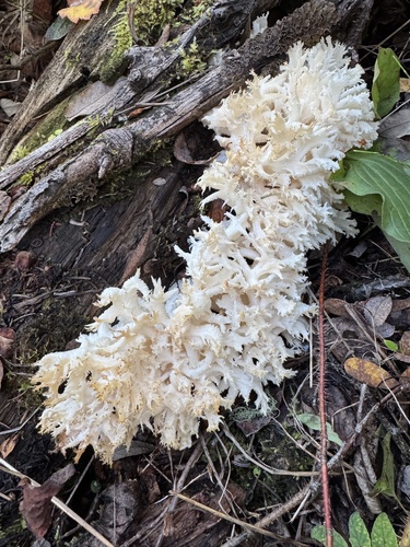
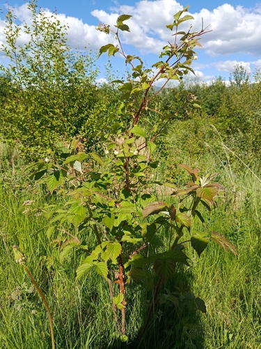
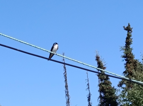
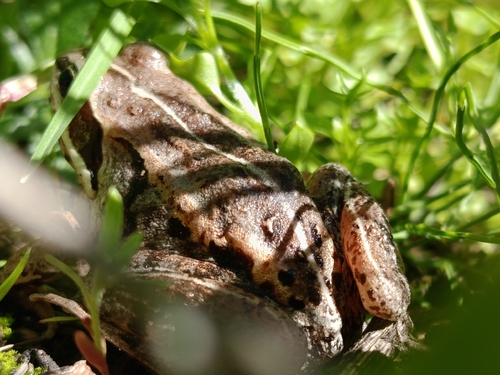
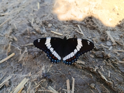
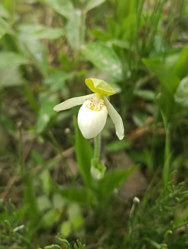
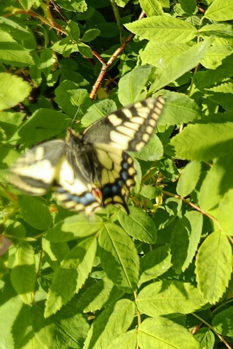
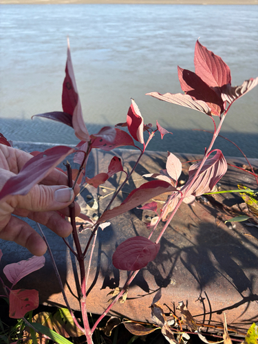
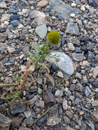
Research-grade observations from iNaturalist (within ~15 mi).
Nearest stream gauge
Live readings from USGS NWIS · measured 2026-10-05 16:00 UTC.
Events
Gallery
Sources
- • Wikipedia
- • US Census Bureau (ACS 5-year estimates)
- • NOAA National Weather Service
- • Wikidata
- • Open-Meteo Air Quality (CAMS)
- • USGS Earthquake Catalog (global feed)
- • USGS NWIS (water data)
- • NCES via Urban Institute Education Data Portal
- • GBIF (Global Biodiversity Information Facility)
- • iNaturalist
- • CDC PLACES
- • NASA EONET