Browse / United States / Alaska / Fort Yukon
Fort Yukon
Alaskacity

Fort Yukon
Total population
656
Median home value
$168,200
Bachelor's+
Median income
$42,022
Founded
1847
Air quality index
Demographic figures from US Census Bureau · ACS 5-year estimates. Overview below cites Wikipedia and may reference a different year.
City facts
Facts from Wikidata (CC0).
Overview
Fort Yukon is a village in the Yukon-Koyukuk Census Area in the U.S. state of Alaska, straddling the Arctic Circle. The population, predominantly Gwichʼin Alaska Natives, was 428 at the 2020 census, down from 595 in 2000.
Read more on WikipediaHistory & geography
History
This area north of the Arctic Circle was occupied for thousands of years by cultures of indigenous people and in historic times by the Gwich’in people. means "House on the Flats" in Gwichʼin. What became the village of Fort Yukon developed from a trading post, Fort Yukon, established by Alexander Hunter Murray of the Hudson's Bay Company, on June 25, 1847. Murray drew numerous sketches of fur trade posts and of people and wrote the Journal of the Yukon, 1847–48, which gave valuable insight into the culture of the Gwich’in at the time. While the post was in Russian America, the Hudson's Bay Company continued to trade there until the American traders expelled it in 1869, following the Alaska Purchase when the Alaska Commercial Company took over the post. During the Klondike Gold Rush, in the winter of 1897–1898, Fort Yukon received two hundred prospectors from Dawson City, which was short of supply. A post office was established on July 12, 1898, with John Hawksly as its first postmaster. The settlement suffered over the following decades as a result of several infectious disease epidemics and a 1949 flood. During the 1950s, the United States Air Force established a base and radar station at Fort Yukon; the town was officially incorporated in 1959. Since the late 20th century, due in part to its extreme northerly location and its proximity to Fairbanks, it has become a minor tourist destination. On February 7, 1984, a Terrier Malemute-type sounding rocket, with a maximum altitude of , was launched from Fort Yukon.
Geography
Fort Yukon is located on the north bank of the Yukon River at its confluence with the Porcupine River, about northeast of Fairbanks. As of 2014, the Arctic Circle passes through the southern portion of the city at . Due to long-term oscillations in the Earth's axis, the Arctic Circle currently shifts northward by about per year, though varying substantially from year to year due to the complexity of the movement. According to the United States Census Bureau, Yukon City has a total area of , of which of it is land and of it (5.65%) is water. Fort Yukon has a strongly continental subarctic climate (Köppen climate classification: Dsc). In the summer Fort Yukon has midnight sun and in December the sun appears for only a few hours each day. Summer temperatures are exceptionally high for such a northerly area, being far warmer than the tree line threshold. The highest temperature ever recorded in Alaska occurred in Fort Yukon on June 27, 1915, when it reached . This was also the highest temperature recorded north of the Arctic Circle until June 20, 2020, when it was tied by a reading at Verkhoyansk, a location similarly known for its extremely continental climate. Many sources claim Verkhoyansk had the warmer temperature, but due to the two different temperature scales used and the fact that neither town recorded the temperature to the tenth of a degree, it's impossible to know if Verkhoyansk truly broke Fort Yukon's record. Fort Yukon is also subject to severe winters, being less influenced by chinook winds than areas to the west—the winter season absolute maximum being colder than in Fairbanks. Until 1971, Fort Yukon held the all-time lowest temperature record for Alaska and the United States at on January 14, 1934, and it still holds the record for the lowest…
Excerpted from the corresponding Wikipedia article (CC BY-SA).
Demographics & economy
Race & ethnicity
Source: US Census Bureau — American Community Survey, 5-year estimates.
Geography
Coordinates & boundaries from the US Census TIGER/Line shapefiles.
Climate
Air quality
Current readings from Open-Meteo Air Quality API (Copernicus CAMS European reanalysis).
Industrial & pollution facilities
Natural hazard risk
Health (adults)
Age-adjusted prevalence estimates from CDC PLACES (latest release).
Walkability
Amenities nearby
Wildlife & biodiversity
Most-observed species
- Swainson's ThrushCatharus ustulatus (Nuttall, 1840) · Aves11
- Lesser YellowlegsTringa flavipes (J.F.Gmelin, 1789) · Aves10
- Wilson's SnipeGallinago delicata (Ord, 1825) · Aves10
- White-crowned SparrowZonotrichia leucophrys (J.R.Forster, 1772) · Aves9
- Greater ScaupAythya marila (Linnaeus, 1761) · Aves8
- American WigeonMareca americana (J.F.Gmelin, 1789) · Aves7
- American RobinTurdus migratorius Linnaeus, 1766 · Aves7
- Semipalmated PloverCharadrius semipalmatus Bonaparte, 1825 · Aves5
Citizen-science & research observations from the Global Biodiversity Information Facility (GBIF).
Schools
Largest nearby schools
- Fort Yukon SchoolOther · Fort Yukon · 76 students · 8.4:1 ratio
Public K–12 schools within ~10 mi from Urban Institute Education Data Portal (NCES Common Core of Data, 2022).
Earthquake history
Most recent
- M 3.4 — 2026-09-1344 km WNW of Central, Alaska
- M 3 — 2026-08-1711 km WSW of Venetie, Alaska
- M 2.6 — 2026-04-2434 km NNE of Beaver, Alaska
- M 2.5 — 2026-03-0535 km S of Chalkyitsik, Alaska
- M 2.8 — 2025-09-2828 km N of Chalkyitsik, Alaska
- M 4.2 — 2025-06-1444 km WNW of Central, Alaska
Events from the USGS Earthquake Catalog (global) (FDSN Event Web Service).
Photos
Sights & places nearby
Notable people from here
Nearby places in Alaska
- Birch Creek28.5 mi away
- Chalkyitsik39.6 mi away · pop. 80
- Venetie43.2 mi away · pop. 76
- Beaver58.5 mi away · pop. 17
- Circle59.5 mi away · pop. 54
- Central76.5 mi away · pop. 108
- Arctic Village109.1 mi away · pop. 164
- Pleasant Valley126.9 mi away · pop. 790
- Two Rivers128.6 mi away · pop. 451
- Fox130.3 mi away · pop. 80
- Farmers Loop135.6 mi away · pop. 4,954
- Badger137.9 mi away · pop. 18,677
Geography & sun
Elevation, sunrise/sunset and daylight from Open-Meteo. Solar climatology from NASA POWER.
Nearby airports
Public attention
Pageview totals from the Wikimedia Pageviews API.
Books about Fort Yukon
Search results from Open Library.
Recent natural events nearby
- Wildfire Mukluk, Southeast Fairbanks, AlaskaWildfires · 2026-08-17 · 233 mi
Wildfires, storms and other events from NASA EONET (last 12 months, within 250 mi).
Ground air-quality sensors
Recently spotted species
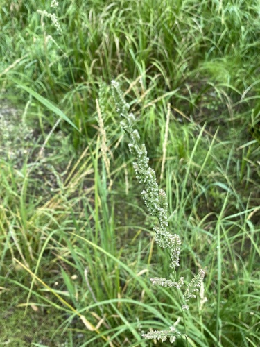
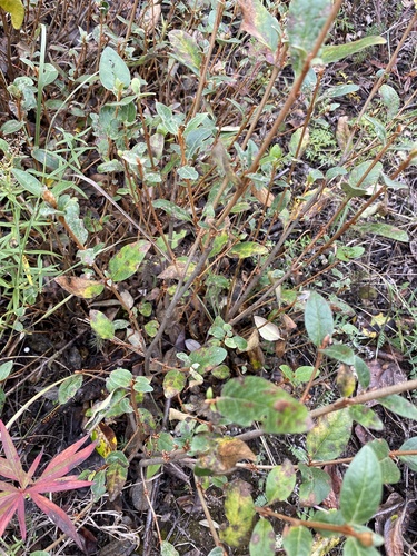

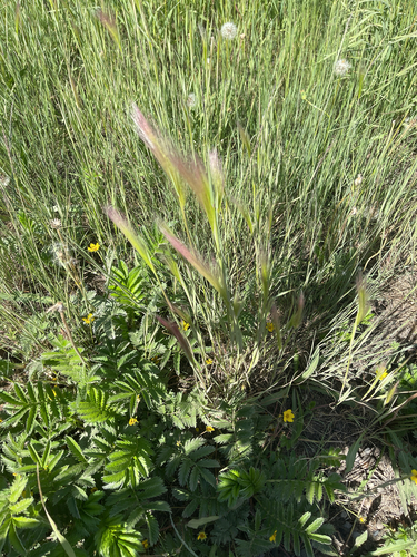
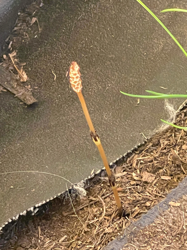
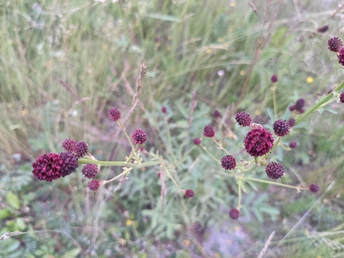
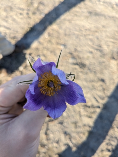
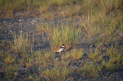
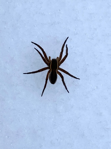
Research-grade observations from iNaturalist (within ~15 mi).
Nearest stream gauge
Events
Gallery
Sources
- • Wikipedia
- • US Census Bureau (ACS 5-year estimates)
- • Wikidata
- • Open-Meteo Air Quality (CAMS)
- • USGS Earthquake Catalog (global feed)
- • NCES via Urban Institute Education Data Portal
- • GBIF (Global Biodiversity Information Facility)
- • iNaturalist
- • CDC PLACES
- • Open-Elevation
- • Open-Meteo / sunrise-sunset.org
- • Wikipedia Pageviews API
- • Open Library
- • NASA EONET