Browse / United States / Alaska / Gustavus
Gustavus
Alaskacity
Total population
594
Median home value
$330,600
Bachelor's+
Median income
$63,558
Founded
1917
Demographic figures from US Census Bureau · ACS 5-year estimates. Overview below cites Wikipedia and may reference a different year.
City facts
Facts from Wikidata (CC0).
Overview
Gustavus is a second-class city in Hoonah-Angoon Census Area in the U.S. state of Alaska. According to the 2020 census, it had a population of 655, a 48% increase from the 442 recorded in the 2010 census, making it one of the fastest growing communities in Alaska.
Read more on WikipediaHistory & geography
History
Gustavus, formerly known as "Strawberry Point," lies on the outwash plain formed by the glaciers that once filled Glacier Bay. Two hundred years ago, the area was primarily a single large "beach" utilized by the native Tlingit people and others for fishing, berry picking, and other similar uses. The first settlers arrived in 1914 but left shortly afterward. The first permanent homestead was established in 1917, when Abraham Lincoln Parker moved his family to Strawberry Point. Many Gustavus residents are descendants and relatives of the original Parker homesteaders. In 1925, the name "Gustavus," was adopted when the U.S. Post Office required a change for its new post office, although locals continued calling it "Strawberry Point" long afterwards. The new name came from Point Gustavus at the mouth of Glacier Bay. In 1793, George Vancouver named Point Adolphus (at the northern tip of Chichagof Island, and today a well-known humpback whale feeding area) after Adolphus Frederick, the seventh son of King George III. In 1878, during a coastal survey, W. H. Dall saw "Adolphus" on the map and assumed it was for Swedish king Gustavus Adolphus. The point across Icy Strait from Point Adolphus at the mouth of Glacier Bay was not named on the map, so Dall called it "Gustavus". Another possibility is that Dall named Gustavus for Gustavus C. Hanus, a U.S. Naval Academy graduate who had extensive experience throughout southeast Alaska, and both Dall and Hanus served with the Coast Survey in Alaska. Hanus laid out the first streets in Juneau and helped quell the trouble in Klukwan in 1881. There is still a large beach at Gustavus, with many strawberries. It is surrounded on three sides by Glacier Bay National Park and Preserve and bordered by water on the fourth. The area is a…
Geography
Gustavus is located at (58.416327, -135.745549). According to the United States Census Bureau, the city has a total area of , of which are land and , or 11.16%, are water. Gustavus is split by the Salmon River, a small waterway crossed by a bridge for the paved road running out to Glacier Bay National Park. Coho salmon, Dolly Varden, and other fish are commonly caught in this river. Within the city limits, the river is affected by tides.
Excerpted from the corresponding Wikipedia article (CC BY-SA).
Demographics & economy
Race & ethnicity
Source: US Census Bureau — American Community Survey, 5-year estimates.
Geography
Coordinates & boundaries from the US Census TIGER/Line shapefiles.
Climate
Air quality
Industrial & pollution facilities
Natural hazard risk
Health (adults)
Age-adjusted prevalence estimates from CDC PLACES (latest release).
Walkability
Amenities nearby
Wildlife & biodiversity
Schools
Largest nearby schools
- Gustavus SchoolOther · Gustavus · 54 students · 7.7:1 ratio
Public K–12 schools within ~10 mi from Urban Institute Education Data Portal (NCES Common Core of Data, 2022).
Earthquake history
Photos
Sights & places nearby
Notable people from here
Nearby places in Alaska
Geography & sun
Elevation, sunrise/sunset and daylight from Open-Meteo. Solar climatology from NASA POWER.
Nearby airports
Public attention
Pageview totals from the Wikimedia Pageviews API.
Books about Gustavus
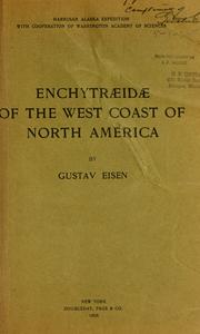
Search results from Open Library.
Recent natural events nearby
Ground air-quality sensors
Recently spotted species
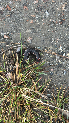
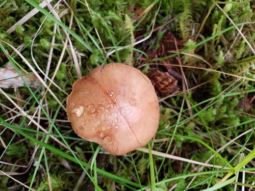
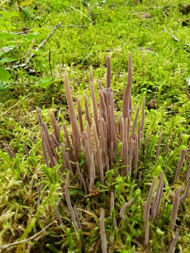
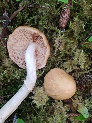
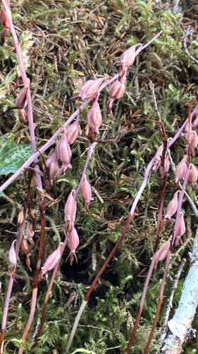
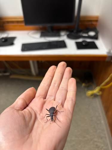
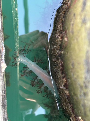
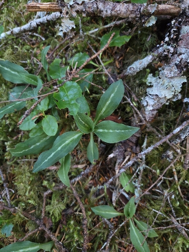
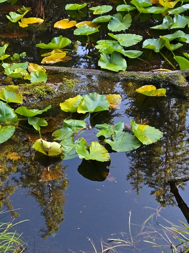
Research-grade observations from iNaturalist (within ~15 mi).
Nearest stream gauge
Events
Gallery
Sources
- • Wikipedia
- • US Census Bureau (ACS 5-year estimates)
- • Wikidata
- • NCES via Urban Institute Education Data Portal
- • iNaturalist
- • CDC PLACES
- • Open-Meteo / sunrise-sunset.org
- • Wikipedia Pageviews API
- • Open Library