Browse / United States / Alaska / Mekoryuk
Mekoryuk
Alaskacity

Mekoryuk
Total population
287
Demographic figures from US Census Bureau · ACS 5-year estimates. Overview below cites Wikipedia and may reference a different year.
City facts
Facts from Wikidata (CC0).
Overview
Mekoryuk is a city located on Nunivak Island in the Bethel Census Area, Alaska, United States. As of the 2020 census, Mekoryuk had a population of 206.
Read more on WikipediaHistory & geography
History
Nunivak Island has been inhabited for 2,000 years by the Nuniwarmiut, or Nunivak Cup'ig people. The community's first contact with Europeans was in 1821 when explorers from the Russian-American Company arrived on their island. These Russians recorded 400 people living in 16 villages on the Nunivak Island. While conducting the 1880 United States Census, Ivan Petrof recorded 702 Yup'ik in 9 villages, including 117 people at "Koot", near the site of present-day Mekoryuk. An epidemic in 1900 left only four surviving families in the village. In the 1930s, the Evangelical Covenant Church was built at Mekoryuk, followed by a school in 1939. People moved to the village from other areas of the island to be near the school. Reindeer herding was introduced in 1920 by an Eskimo-Russian trader. The operation was purchased by the United States government in the 1940s and a slaughterhouse was built in 1945. The reindeer were crossed with caribou from Denali Park. The resulting animals were larger and less tame than other reindeer. 34 musk ox from Greenland were transferred to the Nunivak Island in 1934 in an effort to save the species from extinction. Today, the musk-ox herd numbers around 500, and calves from this herd have been relocated and introduced to other areas of Alaska. In the mid-20th century, Mekoryuk became the only permanent population center on the island. Until the 1940s, the traditional lifestyle and traditional ceremonies and religious beliefs were practiced. The 1950s and 1960s brought considerable change. Mekoryuk Airport was built in 1957. When the Territorial Guard was formed, men were sent to Fort Richardson near Anchorage for training. During this time, many families moved to Bethel during the winter to be near the high school, returning in the spring for…
Geography
Mekoryuk is located at the mouth of Shoal Bay on the north shore of Nunivak Island in the Bering Sea. The island lies west of the Alaska coast. According to the United States Census Bureau, the city has a total area of , of which, of it is land and 0.14% is water. Mekoryuk has a tundra climate (Köppen: ET), that borders on a subarctic climate (Köppen: Dfc).
Excerpted from the corresponding Wikipedia article (CC BY-SA).
Demographics & economy
Geography
Coordinates & boundaries from the US Census TIGER/Line shapefiles.
Climate
Air quality
Industrial & pollution facilities
Natural hazard risk
Health (adults)
Age-adjusted prevalence estimates from CDC PLACES (latest release).
Walkability
Amenities nearby
Wildlife & biodiversity
Most-observed species
- Savannah SparrowPasserculus sandwichensis (J.F.Gmelin, 1789) · Aves4
- Glaucous-winged GullLarus glaucescens J.F.Naumann, 1840 · Aves3
- Short-eared OwlAsio flammeus (Pontoppidan, 1763) · Aves3
- Harlequin DuckHistrionicus histrionicus (Linnaeus, 1758) · Aves3
- CloudberryRubus chamaemorus L. · Magnoliopsida3
- Common RedpollAcanthis flammea (Linnaeus, 1758) · Aves3
- BrantBranta bernicla (Linnaeus, 1758) · Aves3
- Western SandpiperCalidris mauri (Cabanis, 1857) · Aves2
Citizen-science & research observations from the Global Biodiversity Information Facility (GBIF).
Schools
Largest nearby schools
- Nuniwarmiut SchoolOther · Mekoryuk · 43 students · 21.5:1 ratio
Public K–12 schools within ~10 mi from Urban Institute Education Data Portal (NCES Common Core of Data, 2022).
Earthquake history
Most recent
- M 2.9 — 2026-05-2842 km NW of Tununak, Alaska
- M 2.9 — 2026-05-2839 km NNW of Tununak, Alaska
- M 2.6 — 2022-01-1269 km SSW of Hooper Bay, Alaska
- M 3.6 — 2018-10-2471 km NNW of Mekoryuk, Alaska
- M 4.9 — 2018-10-2469 km SSW of Hooper Bay, Alaska
Events from the USGS Earthquake Catalog (global) (FDSN Event Web Service).
Photos
Sights & places nearby
Notable people from here
People born within ~10 km, from Wikidata (CC0). Click any name for their Wikipedia article.
Nearby places in Alaska
- Tununak42.1 mi away · pop. 384
- Chefornak70.7 mi away · pop. 620
- Hooper Bay78.9 mi away · pop. 903
- Kipnuk81.5 mi away · pop. 706
- Chevak83.2 mi away · pop. 494
- Scammon Bay104.2 mi away · pop. 440
- Kongiganak120.4 mi away · pop. 316
- Tuntutuliak122.8 mi away · pop. 514
- Kasigluk131 mi away · pop. 698
- Nunapitchuk133.6 mi away · pop. 618
- Atmautluak139.4 mi away · pop. 88
- Eek145.1 mi away · pop. 174
Geography & sun
Elevation, sunrise/sunset and daylight from Open-Meteo. Solar climatology from NASA POWER.
Nearby airports
Public attention
Pageview totals from the Wikimedia Pageviews API.
Books about Mekoryuk
Search results from Open Library.
Recent natural events nearby
Ground air-quality sensors
Recently spotted species
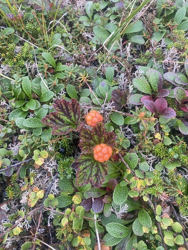
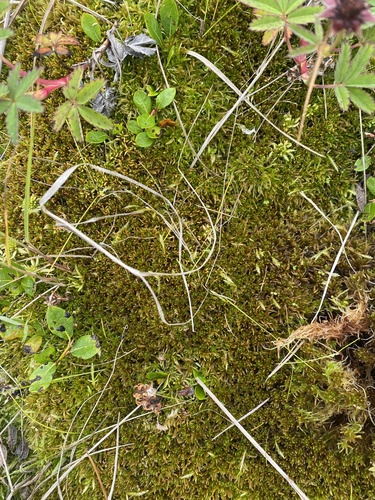
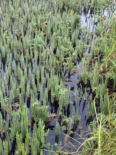
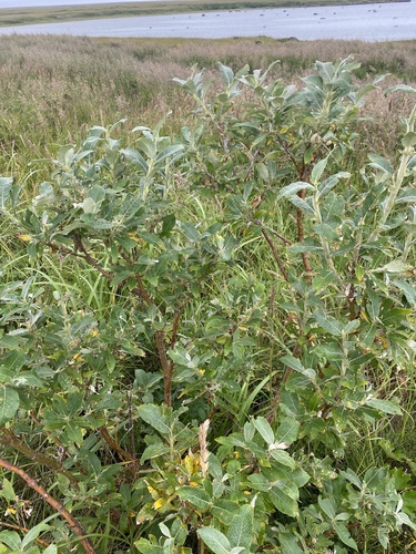
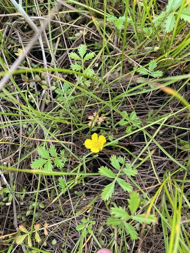
Research-grade observations from iNaturalist (within ~15 mi).
Nearest stream gauge
Events
Gallery
Sources
- • Wikipedia
- • Wikidata
- • USGS Earthquake Catalog (global feed)
- • NCES via Urban Institute Education Data Portal
- • GBIF (Global Biodiversity Information Facility)
- • iNaturalist
- • CDC PLACES
- • Open-Meteo / sunrise-sunset.org
- • Wikipedia Pageviews API
- • Open Library