Browse / United States / Alaska / Primrose
Primrose
AlaskaCDP

Primrose
Total population
89
Median home value
$450,000
Bachelor's+
Median income
$0
Demographic figures from US Census Bureau · ACS 5-year estimates. Overview below cites Wikipedia and may reference a different year.
City facts
Facts from Wikidata (CC0).
Overview
Primrose is a census-designated place (CDP) in Kenai Peninsula Borough, Alaska, United States. As of the 2020 census, Primrose had a population of 96. Primrose is one of a number of small communities located north of Seward along the Seward Highway.
Read more on WikipediaHistory & geography
Geography
Primrose is located on the eastern part of the Kenai Peninsula at (60.343405, -149.344250), at the mouth of the Snow River in Kenai Lake. It is bordered to the north by Crown Point and to the south by Bear Creek. Alaska Route 9, the Seward Highway, runs through the community, leading south to Seward and north the same distance to Alaska Route 1 at Tern Lake. According to the United States Census Bureau, the Primrose CDP has a total area of , of which are land and , or 2.92%, are water.
Excerpted from the corresponding Wikipedia article (CC BY-SA).
Demographics & economy
Race & ethnicity
Source: US Census Bureau — American Community Survey, 5-year estimates.
Geography
Coordinates & boundaries from the US Census TIGER/Line shapefiles.
Climate
Current forecast
Forecast for Primrose, AK from NOAA NWS API.
Air quality
Industrial & pollution facilities
Natural hazard risk
Health (adults)
Age-adjusted prevalence estimates from CDC PLACES (latest release).
Walkability
Amenities nearby
Wildlife & biodiversity
Most-observed species
- Varied ThrushIxoreus naevius (Gmelin, 1789) · Aves346
- Hermit ThrushCatharus guttatus (Pallas, 1811) · Aves338
- Orange-crowned WarblerLeiothlypis celata (Say, 1822) · Aves306
- American RobinTurdus migratorius Linnaeus, 1766 · Aves298
- Yellow-rumped WarblerSetophaga coronata (Linnaeus, 1766) · Aves277
- Ruby-crowned KingletRegulus calendula (Linnaeus, 1766) · Aves263
- Trumpeter/Tundra SwanCygnus buccinator Richardson, 1831 · Aves248
- Pine SiskinSpinus pinus (A.Wilson, 1810) · Aves247
Citizen-science & research observations from the Global Biodiversity Information Facility (GBIF).
Schools
Earthquake history
Most recent
- M 2.6 — 2026-09-1819 km N of Cooper Landing, Alaska
- M 2.7 — 2026-09-1711 km SE of Anchorage, Alaska
- M 2.5 — 2026-09-1418 km N of Moose Pass, Alaska
- M 2.7 — 2026-09-1221 km SSW of Sunrise, Alaska
- M 2.7 — 2026-09-062 km SSW of Chenega, Alaska
- M 2.5 — 2026-08-272 km N of Sterling, Alaska
Events from the USGS Earthquake Catalog (global) (FDSN Event Web Service).
Photos
Sights & places nearby
Notable people from here
Geography & sun
Elevation, sunrise/sunset and daylight from Open-Meteo. Solar climatology from NASA POWER.
Nearby airports
Public attention
Pageview totals from the Wikimedia Pageviews API.
Books about Primrose

Search results from Open Library.
Recent natural events nearby
Ground air-quality sensors
Recently spotted species
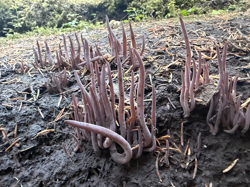
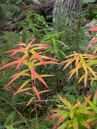
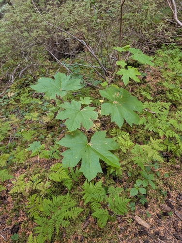
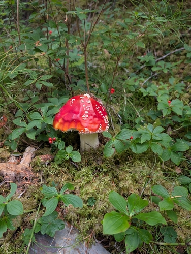
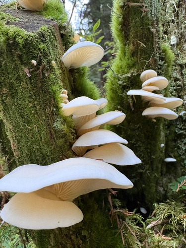
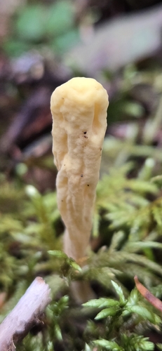
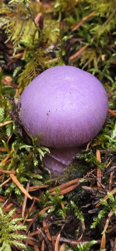
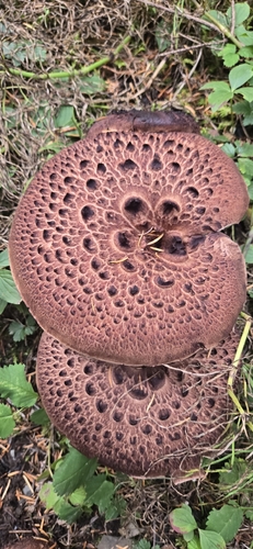
Research-grade observations from iNaturalist (within ~15 mi).
Nearest stream gauge
Live readings from USGS NWIS · measured 2026-10-05 16:00 UTC.
Events
Gallery
Sources
- • Wikipedia
- • US Census Bureau (ACS 5-year estimates)
- • NOAA National Weather Service
- • Wikidata
- • USGS Earthquake Catalog (global feed)
- • USGS NWIS (water data)
- • GBIF (Global Biodiversity Information Facility)
- • iNaturalist
- • CDC PLACES
- • Open-Elevation
- • Open-Meteo / sunrise-sunset.org
- • Wikipedia Pageviews API
- • Open Library