Browse / United States / Alaska / Shishmaref
Shishmaref
Alaskacity

Shishmaref
Total population
466
Median home value
$109,400
Bachelor's+
Median income
$61,458
Founded
1969
Demographic figures from US Census Bureau · ACS 5-year estimates. Overview below cites Wikipedia and may reference a different year.
- High Surf Advisory · MinorHigh Surf Advisory issued October 5 at 2:51PM AKDT until October 9 at 4:00AM AKDT by NWS Fairbanks AK
- High Wind Watch · SevereHigh Wind Watch issued October 5 at 2:17PM AKDT until October 9 at 4:00AM AKDT by NWS Fairbanks AK
Source: NOAA National Weather Service.
City facts
Facts from Wikidata (CC0).
Overview
Shishmaref is a city in the Nome Census Area, Alaska, United States. It is located on Sarichef Island in the Chukchi Sea, just north of the Bering Strait and five miles from the mainland. Shishmaref lies within the Bering Land Bridge National Preserve. As of the 2020 census, Shishmaref had a population of 576.
Read more on WikipediaHistory & geography
Geography
According to the United States Census Bureau, the city has a total area of , of which, of it is land and of it (61.62%) is water. Shishmaref was named in 1821 by explorer Lt. Otto von Kotzebue, of the Imperial Russian Navy, after Capt. Lt. Gleb Shishmaryov who accompanied him on his exploration. Sarichef Island (on which Shishmaref is located) is part of a dynamic, 100 km-long barrier island chain that records human and environmental history spanning the past 2000 years; the oldest subaerial evidence for the formation of this system is about 1700 years before present, according to carbon 14 dating (see References, below). Erosion at Shishmaref is unique along the islands because of its fetch exposure and high tidal prism, relatively intense infrastructure development during the 20th century, and multiple shoreline defense structures built beginning in the 1970s. The effect of global climate change upon Shishmaref is sometimes seen as the most dramatic in the world. Rising temperatures have resulted in a reduction in the sea ice which serves to buffer Shishmaref from storm surges. At the same time, the permafrost that the village is built on has also begun to melt, making the shore even more vulnerable to erosion. In recent years the shore has been receding at an average rate of up to 10 feet (3.3 m) per year. Although a series of barricades has been put up to protect the village, the shore has continued to erode at an alarming rate. The Army Corps of Engineers has built a series of walls but none have been completely effective against waves. The town's homes, water system and infrastructure are being undermined. Currently, Shishmaref has obtained funds to construct seawalls that protect some of the shoreline. The village had plans to relocate several miles…
Excerpted from the corresponding Wikipedia article (CC BY-SA).
Demographics & economy
Race & ethnicity
Source: US Census Bureau — American Community Survey, 5-year estimates.
Geography
Coordinates & boundaries from the US Census TIGER/Line shapefiles.
Climate
Current forecast
Forecast for Shishmaref, AK from NOAA NWS API.
Air quality
Industrial & pollution facilities
Natural hazard risk
Health (adults)
Age-adjusted prevalence estimates from CDC PLACES (latest release).
Walkability
Amenities nearby
Wildlife & biodiversity
Most-observed species
- Common RavenCorvus corax Linnaeus, 1758 · Aves4
- Glaucous GullLarus hyperboreus Gunnerus, 1767 · Aves3
- Pectoral SandpiperCalidris melanotos (Vieillot, 1819) · Aves3
- Pacific Golden-PloverPluvialis fulva (J.F.Gmelin, 1789) · Aves2
- Parasitic JaegerStercorarius parasiticus (Linnaeus, 1758) · Aves2
- Long-billed DowitcherLimnodromus scolopaceus (Say, 1822) · Aves2
- Red-throated LoonGavia stellata (Pontoppidan, 1763) · Aves2
- Lapland LongspurCalcarius lapponicus (Linnaeus, 1758) · Aves2
Citizen-science & research observations from the Global Biodiversity Information Facility (GBIF).
Schools
Largest nearby schools
- Shishmaref SchoolOther · Shishmaref · 199 students · 16.6:1 ratio
Public K–12 schools within ~10 mi from Urban Institute Education Data Portal (NCES Common Core of Data, 2022).
Earthquake history
Most recent
- M 2.7 — 2026-03-1954 km SW of Shishmaref, Alaska
- M 2.5 — 2025-03-3029 km NE of Wales, Alaska
- M 2.7 — 2025-03-2832 km N of Port Clarence, Alaska
- M 2.5 — 2025-01-2298 km NNE of Diomede, Alaska
- M 2.5 — 2024-07-0241 km SSW of Shishmaref, Alaska
- M 2.7 — 2024-05-0363 km ENE of Teller, Alaska
Events from the USGS Earthquake Catalog (global) (FDSN Event Web Service).
Photos
Sights & places nearby
Notable people from here
People born within ~10 km, from Wikidata (CC0). Click any name for their Wikipedia article.
Geography & sun
Elevation, sunrise/sunset and daylight from Open-Meteo. Solar climatology from NASA POWER.
Nearby airports
Public attention
Pageview totals from the Wikimedia Pageviews API.
Books about Shishmaref

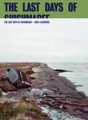

Search results from Open Library.
Recent natural events nearby
Ground air-quality sensors
Recently spotted species
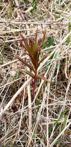
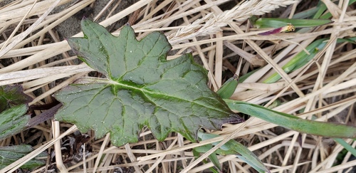
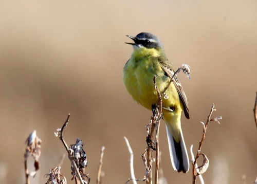
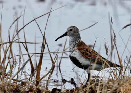
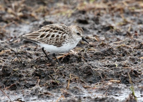
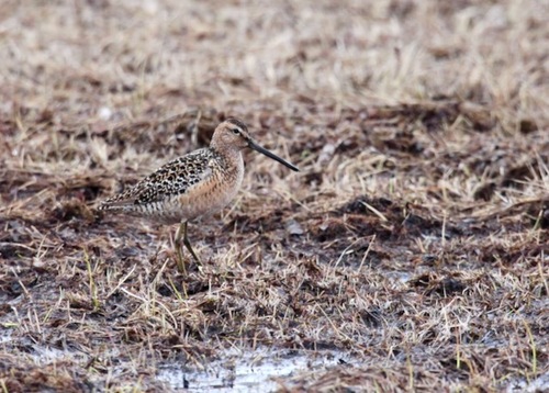
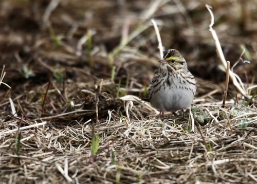
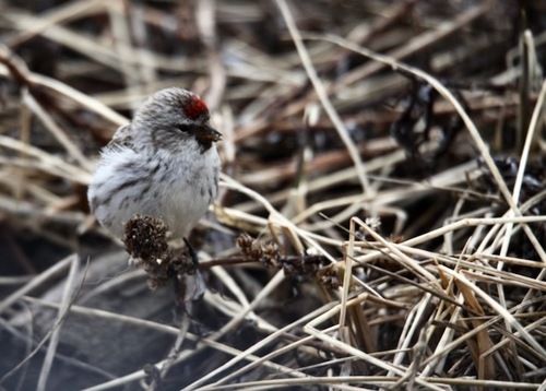
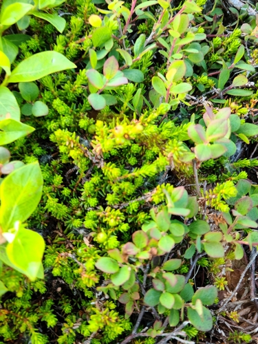
Research-grade observations from iNaturalist (within ~15 mi).
Nearest stream gauge
Events
Gallery
Sources
- • Wikipedia
- • US Census Bureau (ACS 5-year estimates)
- • NOAA National Weather Service
- • Wikidata
- • USGS Earthquake Catalog (global feed)
- • NCES via Urban Institute Education Data Portal
- • GBIF (Global Biodiversity Information Facility)
- • iNaturalist
- • CDC PLACES
- • Open-Meteo / sunrise-sunset.org
- • Wikipedia Pageviews API
- • Open Library