Browse / United States / Alaska / Tanana
Tanana
Alaskacity

Tanana
Total population
334
Median home value
$67,100
Bachelor's+
Median income
$83,036
Founded
1961
Demographic figures from US Census Bureau · ACS 5-year estimates. Overview below cites Wikipedia and may reference a different year.
City facts
Facts from Wikidata (CC0).
Overview
Tanana is a city in the Yukon-Koyukuk Census Area in the U.S. state of Alaska. As of the 2020 census, Tanana had a population of 246. It was formerly known as Clachotin, adopted by Canadian French.
Read more on WikipediaHistory & geography
History
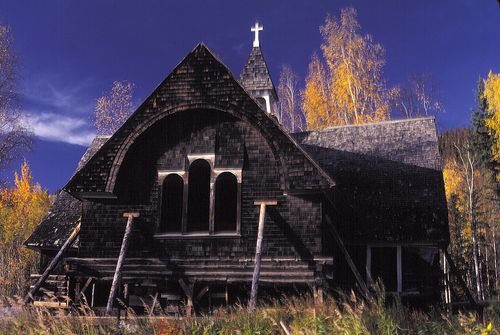
Prior to arrival of settlers in early 1860, the point of land at the confluence of the Tanana and Yukon Rivers (Nuchalawoyyet, spelled differently in historical accounts) was a traditional meeting and trading place used by members of several indigenous groups. There were as many as five different Athabascan languages spoken in the area in 1868 when the French-Canadian François Xavier Mercier established the first fur-trading post in the area. Noukelakayet Station, later known as Fort Adams, was located on the north bank of the Yukon, about downstream from the mouth of the Tanana River. Subsequently, an Anglican mission and several other trading posts were established nearby. In 1898 the U.S. Army, under the leadership of Capt. P.H. Ray, founded Ft. Gibbon at the present location of Tanana. Ft. Gibbon's purpose was to oversee shipping and trading, maintain civil order, and install and take care of telegraph lines connecting to Nome and to Tanana Crossing, on the way to Valdez. All other Euro-American activities in the area near the Tanana-Yukon confluence moved upriver to accommodate Ft. Gibbon and the increased steamboat traffic caused by gold seekers. St. James Church moved to the present site of Tanana to serve the Euro-American population, and the Mission of Our Savior was constructed at the bottom of a hill opposite the confluence. The mission site became a center of activity for indigenous people in the area. Ft. Gibbon closed in 1923, but the town and mission remained. In the 1930s a regional hospital was built in Tanana, and the Native Village of Tanana was officially chartered by the U.S. Bureau of Indian Affairs in 1939. The hospital served people throughout most of the rural northern regions of Alaska until 1982. During World War II Tanana's airfield…
Geography
Tanana is located at the confluence of the tributary Tanana and the Yukon River. According to the United States Census Bureau, the city has a total area of , of which of it is land and of it, or 25.80%, is water. Tanana is about west of Fairbanks. Extreme temperatures have ranged from on January 27, 1989, to as recently as June 15, 1969. extremes 1901–present) |single line = Y |Jan high F = -1.2 |Feb high F = 8.2 |Mar high F = 18.9 |Apr high F = 39.3 |May high F = 58.9 |Jun high F = 70.1 |Jul high F = 70.8 |Aug high F = 63.9 |Sep high F = 51.8 |Oct high F = 31.3 |Nov high F = 10.5 |Dec high F = 2.4 |year high F= 35.4 |Jan mean F = -9.3 |Feb mean F = -1.2 |Mar mean F = 6.3 |Apr mean F = 27.4 |May mean F = 46.1 |Jun mean F = 57.8 |Jul mean F = 59.8 |Aug mean F = 53.6 |Sep mean F = 42.6 |Oct mean F = 24.3 |Nov mean F = 3.3 |Dec mean F = -5.2 |year mean F= 25.5 |Jan low F = -17.4 |Feb low F = -10.6 |Mar low F = -6.3 |Apr low F = 15.6 |May low F = 33.4 |Jun low F = 45.4 |Jul low F = 48.8 |Aug low F = 43.2 |Sep low F = 33.5 |Oct low F = 17.4 |Nov low F = -4.0 |Dec low F = -12.9 |year low F= 15.5 |Jan avg record high F = 25.6 |Feb avg record high F = 29.5 |Mar avg record high F = 37.4 |Apr avg record high F = 56.4 |May avg record high F = 75.4 |Jun avg record high F = 83.1 |Jul avg record high F = 84.1 |Aug avg record high F = 77.7 |Sep avg record high F = 64.9 |Oct avg record high F = 48.0 |Nov avg record high F = 29.1 |Dec avg record high F = 23.7 |year avg record high F = 85.5 |Jan avg record low F = -49.6 |Feb avg record low F = -38.8 |Mar avg record low F = -32.1 |Apr avg record low F = -10.3 |May avg record low F = 20.2 |Jun avg record low F = 34.8 |Jul avg record low F = 38.4 |Aug avg record low F = 30.8 |Sep avg record low F = 19.8 |Oct avg record low F = -2.7…
Excerpted from the corresponding Wikipedia article (CC BY-SA).
Demographics & economy
Race & ethnicity
Source: US Census Bureau — American Community Survey, 5-year estimates.
Geography
Coordinates & boundaries from the US Census TIGER/Line shapefiles.
Climate
Current forecast
Forecast for Tanana, AK from NOAA NWS API.
Air quality
Industrial & pollution facilities
Natural hazard risk
Health (adults)
Age-adjusted prevalence estimates from CDC PLACES (latest release).
Walkability
Amenities nearby
Wildlife & biodiversity
Most-observed species
- Common RavenCorvus corax Linnaeus, 1758 · Aves11
- Dark-eyed JuncoJunco hyemalis (Linnaeus, 1758) · Aves9
- Ruffed GrouseBonasa umbellus (Linnaeus, 1766) · Aves6
- Short-billed GullLarus brachyrhynchus Richardson, 1831 · Aves5
- Gray JayPerisoreus canadensis (Linnaeus, 1766) · Aves5
- Black-capped ChickadeePoecile atricapillus (Linnaeus, 1766) · Aves5
- American herring gull, Smithsonian GullLarus smithsonianus Coues, 1862 · Aves5
- White-crowned SparrowZonotrichia leucophrys (J.R.Forster, 1772) · Aves5
Citizen-science & research observations from the Global Biodiversity Information Facility (GBIF).
Schools
Largest nearby schools
- Maudrey J. Sommer SchoolOther · Tanana · 29 students · 14.5:1 ratio
Public K–12 schools within ~10 mi from Urban Institute Education Data Portal (NCES Common Core of Data, 2022).
Earthquake history
Most recent
- M 2.7 — 2026-09-0944 km N of Tanana, Alaska
- M 2.5 — 2026-08-2449 km NW of Rampart, Alaska
- M 2.8 — 2026-07-1664 km WNW of Tanana, Alaska
- M 3.2 — 2026-06-2571 km NE of Lake Minchumina, Alaska
- M 2.7 — 2026-06-0758 km SSW of Tanana, Alaska
- M 2.6 — 2026-05-2846 km SSW of Manley Hot Springs, Alaska
Events from the USGS Earthquake Catalog (global) (FDSN Event Web Service).
Photos
Sights & places nearby
Notable people from here


People born within ~10 km, from Wikidata (CC0). Click any name for their Wikipedia article.
Geography & sun
Elevation, sunrise/sunset and daylight from Open-Meteo. Solar climatology from NASA POWER.
Nearby airports
Public attention
Pageview totals from the Wikimedia Pageviews API.
Books about Tanana
Search results from Open Library.
Recent natural events nearby
Ground air-quality sensors
Recently spotted species
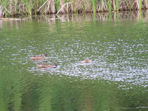
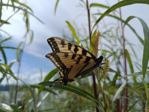
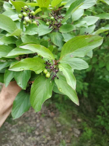
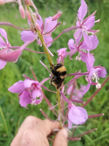
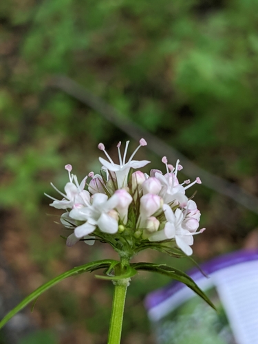
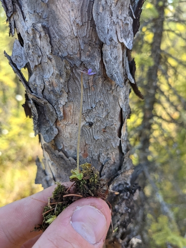
Research-grade observations from iNaturalist (within ~15 mi).
Nearest stream gauge
Events
Gallery
Sources
- • Wikipedia
- • US Census Bureau (ACS 5-year estimates)
- • NOAA National Weather Service
- • Wikidata
- • USGS Earthquake Catalog (global feed)
- • NCES via Urban Institute Education Data Portal
- • GBIF (Global Biodiversity Information Facility)
- • iNaturalist
- • CDC PLACES
- • Open-Meteo / sunrise-sunset.org
- • Wikipedia Pageviews API
- • Open Library