Browse / United States / Alaska / Unalakleet
Unalakleet
Alaskacity

Unalakleet
Total population
519
Median home value
$221,400
Bachelor's+
Median income
$87,292
Founded
1974
Demographic figures from US Census Bureau · ACS 5-year estimates. Overview below cites Wikipedia and may reference a different year.
- High Surf Advisory · MinorHigh Surf Advisory issued October 7 at 7:27AM AKDT until October 10 at 4:00AM AKDT by NWS Fairbanks AK
Source: NOAA National Weather Service.
City facts
Facts from Wikidata (CC0).
Overview
Unalakleet is a city in Nome Census Area, Alaska, United States, in the western part of the state. As of the 2020 census, Unalakleet had a population of 765. Unalakleet is known in the region and around Alaska for its salmon and king crab harvests; the residents rely for much of their diet on caribou, ptarmigan, oogruk, and various salmon species.
Read more on WikipediaHistory & geography
History
Unalakleet is an adaptation of the Iñupiaq word "Una-la-thliq", which means "from the southern side". Unalakleet is located at the Norton Sound end of the Unalakleet-Kaltag Portage, an important winter travel route between Norton Sound and the Yukon River. Unalakleet has long been a major trade center between the Athabascan people, who lived in the interior of Alaska, and the Inupiat, who lived on the coast. In the 1830s Russian explorers and traders came: The Russian-American Company built a trading post here at Unalakleet. In 1898 the United States arranged for Sami reindeer herders from Lapland to be brought to Unalakleet, to work with the people about herding practices. In 1901, the United States Army Signal Corps built a telegraph line from St. Michael that passed through Unalakleet.
Geography
Unalakleet is located at (63.878907, −160.789680). Unalakleet is located on the Norton Sound of the Bering Sea at the mouth of the Unalakleet River, southeast of Nome and northwest of Anchorage. Unalakleet has a subarctic climate (Koppen: Dfc) with considerable maritime influences. Winters are cold and dry. Average summer temperatures range ; winter temperatures range from . Precipitation averages annually, with of snow. According to the United States Census Bureau, the city has a total area of , of which, of it is land and of it (44.25%) is water.
Excerpted from the corresponding Wikipedia article (CC BY-SA).
Demographics & economy
Race & ethnicity
Source: US Census Bureau — American Community Survey, 5-year estimates.
Geography
Coordinates & boundaries from the US Census TIGER/Line shapefiles.
Climate
Current forecast
Forecast for Unalakleet, AK from NOAA NWS API.
Air quality
Industrial & pollution facilities
Natural hazard risk
Health (adults)
Age-adjusted prevalence estimates from CDC PLACES (latest release).
Walkability
Amenities nearby
Wildlife & biodiversity
Most-observed species
- Fox SparrowPasserella iliaca (Merrem, 1786) · Aves96
- Gray-cheeked ThrushCatharus minimus (Lafresnaye, 1848) · Aves71
- White-crowned SparrowZonotrichia leucophrys (J.R.Forster, 1772) · Aves61
- Northern WaterthrushParkesia noveboracensis (J.F.Gmelin, 1789) · Aves43
- Common RavenCorvus corax Linnaeus, 1758 · Aves38
- Glaucous GullLarus hyperboreus Gunnerus, 1767 · Aves36
- Swainson's ThrushCatharus ustulatus (Nuttall, 1840) · Aves33
- Common RedpollAcanthis flammea (Linnaeus, 1758) · Aves33
Citizen-science & research observations from the Global Biodiversity Information Facility (GBIF).
Schools
Largest nearby schools
- Unalakleet SchoolOther · Unalakleet · 170 students · 10:1 ratio
Public K–12 schools within ~10 mi from Urban Institute Education Data Portal (NCES Common Core of Data, 2022).
Earthquake history
Most recent
- M 2.5 — 2026-07-0610 km E of Unalakleet, Alaska
- M 3.6 — 2026-07-019 km E of Unalakleet, Alaska
- M 2.8 — 2025-12-2955 km E of Shaktoolik, Alaska
- M 2.5 — 2025-03-1128 km W of Kaltag, Alaska
- M 4 — 2024-09-1819 km WSW of Unalakleet, Alaska
- M 2.6 — 2024-01-0551 km ENE of Shaktoolik, Alaska
Events from the USGS Earthquake Catalog (global) (FDSN Event Web Service).
Photos
Sights & places nearby
Notable people from here

People born within ~10 km, from Wikidata (CC0). Click any name for their Wikipedia article.
Nearby places in Alaska
- Shaktoolik34 mi away · pop. 283
- St. Michael50.9 mi away · pop. 177
- Stebbins53.4 mi away · pop. 596
- Elim66.9 mi away · pop. 383
- Grayling72.1 mi away · pop. 173
- Koyuk73.1 mi away · pop. 348
- Golovin80.7 mi away · pop. 181
- Anvik89.1 mi away · pop. 79
- Shageluk93.5 mi away · pop. 34
- Nulato93.5 mi away · pop. 255
- White Mountain95.5 mi away · pop. 222
- Kotlik103.6 mi away · pop. 976
Geography & sun
Elevation, sunrise/sunset and daylight from Open-Meteo. Solar climatology from NASA POWER.
Nearby airports
Public attention
Pageview totals from the Wikimedia Pageviews API.
Books about Unalakleet
Search results from Open Library.
Recent natural events nearby
Ground air-quality sensors
Recently spotted species
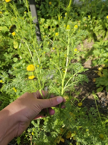
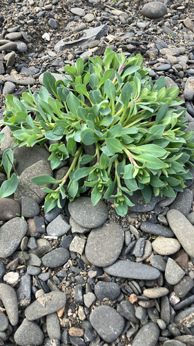
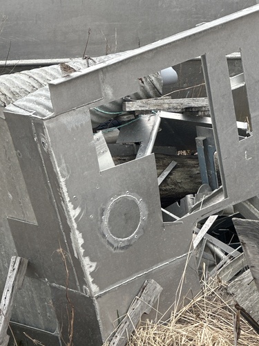
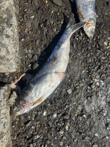
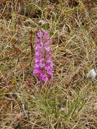
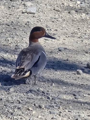
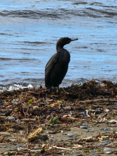
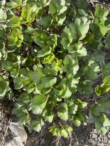
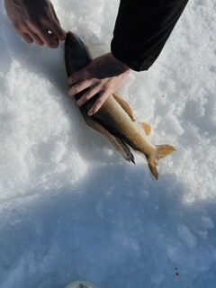
Research-grade observations from iNaturalist (within ~15 mi).
Nearest stream gauge
Live readings from USGS NWIS · measured 2026-10-13 06:15 UTC.
Events
Gallery
Sources
- • Wikipedia
- • US Census Bureau (ACS 5-year estimates)
- • NOAA National Weather Service
- • Wikidata
- • USGS Earthquake Catalog (global feed)
- • USGS NWIS (water data)
- • NCES via Urban Institute Education Data Portal
- • GBIF (Global Biodiversity Information Facility)
- • iNaturalist
- • CDC PLACES
- • Open-Elevation
- • Open-Meteo / sunrise-sunset.org
- • Wikipedia Pageviews API
- • Open Library