Browse / United States / Alaska / Valdez
Valdez
Alaskacity

Valdez
Total population
3,847
Median home value
$313,000
Bachelor's+
Median income
$99,271
Founded
1898
Air quality index
Demographic figures from US Census Bureau · ACS 5-year estimates. Overview below cites Wikipedia and may reference a different year.
City facts
Facts from Wikidata (CC0).
Overview
Valdez is a city in the Chugach Census Area in the U.S. state of Alaska. In 2020, the population of Valdez was 3,985, up slightly from 3,976 in 2010. It is the third most populated city in Alaska's Unorganized Borough.
Read more on WikipediaHistory & geography
History
The port of Valdez was named in 1790 by the Spanish explorer Salvador Fidalgo after the Spanish naval officer Antonio Valdés y Fernández Bazán. In 1790, within the framework of the expeditions of Spain in the Pacific Northwest, under the direction of Juan Vicente de Güemes, 2nd Count of Revillagigedo, then viceroy of New Spain, Salvador Fidalgo was sent to San Lorenzo de Nootka where they founded the Fort of Saint Michael (Nutka). On May 5, 1790, Fidalgo sailed with the San Carlos de Nutka towards Prince William Sound and Cook Inlet, off the coast of Alaska. A few weeks later, he anchored off present-day Cordova, Alaska. The expedition found no signs of a Russian presence and traded with natives in the area. On June 3 they disembarked on the coast of present-day Orca Inlet. In a solemn ceremony, Fidalgo erected a large wooden cross and reaffirmed Spanish sovereignty over the territory, naming it "Puerto Córdova." Fidalgo continued along the Alaskan coast, until he reached Point Gravina on June 10, where he celebrated another act of reaffirmation of Spanish sovereignty. On June 15, they discovered a port, which they named Puerto Valdés, in honor of Antonio Valdés y Fernández Bazán, then "Secretary of State of the Universal Office of the Navy and the Indies", a position equivalent to Minister for the affairs of the Spanish Navy and the four Spanish Viceroyalties of the Americas, including the Captaincy General of the Philippines. In the 1790s Nootka Conventions, which followed the Nootka crisis, Spain granted Great Britain access rights to the Pacific Northwest. It did not establish the boundary with Spanish California, nor did it cede Spanish rights in the area. In 1819, Spain relinquished any remaining claim to territory north of the 42nd parallel to the United…
Geography
Valdez is located at . According to the United States Census Bureau, Valdez has a total area of , of which is land. , comprising 19.88%, is water. Valdez is located near the head of a deep fjord in the Prince William Sound in Alaska. It is surrounded by the Chugach Mountains, which are heavily glaciated. Nearby Shoup Glacier, which feeds Shoup Bay, served as a source of ice for residents of the town at the turn of the 20th century. Valdez is the northernmost port in North America that is ice-free year-round. The northernmost point of the coastal Pacific temperate rain forest is in Valdez, on Blueberry Hill. The only road access is via the Richardson Highway, which traverses Thompson Pass and Keystone Canyon to end at Valdez. Despite the presence of temperate rainforest, Valdez under the Köppen climate classification has a subarctic climate (Dfc): its winters, though much warmer than most climates of this type, are not sufficiently mild, as those of, say, Ketchikan, Kodiak, or even nearby Cordova are, to fit into the oceanic or subpolar oceanic climate category. According to the Weather Channel and NOAA, Valdez is the snowiest city in the United States, with an average of over per year. There have been more than of snow in five separate months (not all in the same year).
Excerpted from the corresponding Wikipedia article (CC BY-SA).
Demographics & economy
Race & ethnicity
Source: US Census Bureau — American Community Survey, 5-year estimates.
Geography
Coordinates & boundaries from the US Census TIGER/Line shapefiles.
Climate
Current forecast
Forecast for Valdez, AK from NOAA NWS API.
Air quality
Current readings from Open-Meteo Air Quality API (Copernicus CAMS European reanalysis).
Industrial & pollution facilities
Natural hazard risk
Health (adults)
Walkability
Amenities nearby
Wildlife & biodiversity
Most-observed species
- Bald EagleHaliaeetus leucocephalus (Linnaeus, 1766) · Aves582
- American CrowCorvus brachyrhynchos C.L.Brehm, 1822 · Aves517
- Glaucous-winged GullLarus glaucescens J.F.Naumann, 1840 · Aves389
- Short-billed GullLarus brachyrhynchus Richardson, 1831 · Aves361
- Black-legged KittiwakeRissa tridactyla (Linnaeus, 1758) · Aves359
- Arctic TernSterna paradisaea Pontoppidan, 1763 · Aves283
- Black OystercatcherHaematopus bachmani Audubon, 1838 · Aves227
- Common RavenCorvus corax Linnaeus, 1758 · Aves198
Citizen-science & research observations from the Global Biodiversity Information Facility (GBIF).
Schools
Earthquake history
Most recent
- M 2.7 — 2026-09-2435 km N of Valdez, Alaska
- M 2.7 — 2026-09-1643 km S of Glacier View, Alaska
- M 2.5 — 2026-09-1646 km NNW of Valdez, Alaska
- M 3.5 — 2026-09-1221 km NE of Valdez, Alaska
- M 2.8 — 2026-09-0916 km SSE of Kenny Lake, Alaska
- M 2.8 — 2026-09-0746 km N of Valdez, Alaska
Events from the USGS Earthquake Catalog (global) (FDSN Event Web Service).
Photos
Sights & places nearby
Notable people from here
Nearby places in Alaska
- Tatitlek17.6 mi away · pop. 20
- Cordova44.5 mi away · pop. 2,453
- Tonsina50.6 mi away · pop. 47
- Kenny Lake61.9 mi away · pop. 289
- Willow Creek63.4 mi away · pop. 144
- Nelchina66.2 mi away · pop. 149
- Eureka Roadhouse66.5 mi away
- Tolsona68.3 mi away · pop. 76
- Copper Center70.7 mi away · pop. 346
- Glacier View71.4 mi away · pop. 308
- Silver Springs71.9 mi away · pop. 71
- Mendeltna74.8 mi away · pop. 41
Geography & sun
Nearby airports
Public attention
Books about this place
Recent natural events nearby
- Wildfire Mukluk, Southeast Fairbanks, AlaskaWildfires · 2026-08-17 · 188 mi
Wildfires, storms and other events from NASA EONET (last 12 months, within 250 mi).
Ground air-quality sensors
Recently spotted species
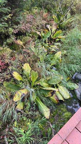
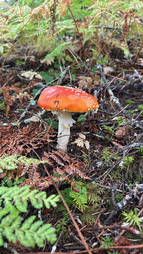
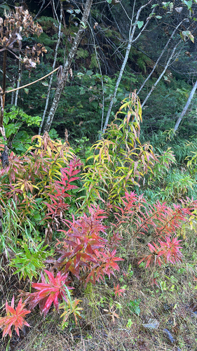
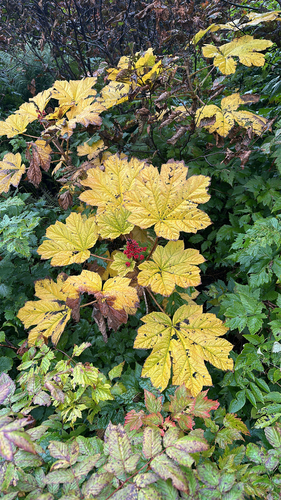
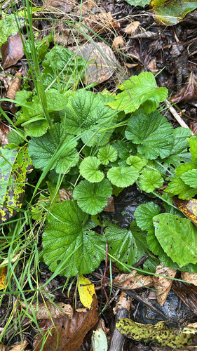
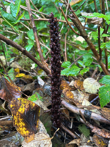
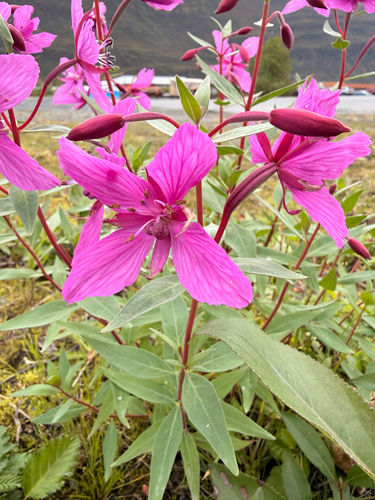
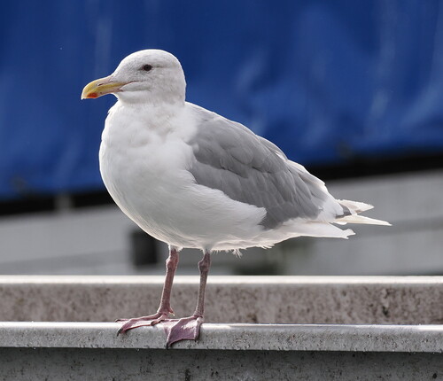
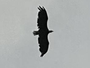
Research-grade observations from iNaturalist (within ~15 mi).
Nearest stream gauge
Live readings from USGS NWIS · measured 2026-10-05 16:15 UTC.
Events
Gallery
Sources
- • Wikipedia
- • US Census Bureau (ACS 5-year estimates)
- • NOAA National Weather Service
- • Wikidata
- • Open-Meteo Air Quality (CAMS)
- • USGS Earthquake Catalog (global feed)
- • USGS NWIS (water data)
- • GBIF (Global Biodiversity Information Facility)
- • iNaturalist
- • NASA EONET