Browse / United States / Alabama / Attalla
Attalla
Alabamacity

Attalla
Total population
5,775
Median home value
$126,100
Bachelor's+
Median income
$59,215
Founded
1870
Demographic figures from US Census Bureau · ACS 5-year estimates. Overview below cites Wikipedia and may reference a different year.
City facts
Facts from Wikidata (CC0).
Overview
Attalla is a city in Etowah County, Alabama, United States. As of the 2020 census, Attalla had a population of 5,827.
Read more on WikipediaHistory & geography
History
The town developed on the area of a former Muscogee (Creek) village that was important during the Creek War. Most of the Creek people were forced out under the Indian Removal Act of 1830. White European migrants from the coastal areas came into this area to acquire land. The wealthier ones developed cotton plantations based on the labor of enslaved African Americans. Cherokee people had also lived in this area, after being encroached on in Tennessee and western North Carolina. David Brown (Cherokee) was assisted by the Rev. D. S. Butterick in preparing the Cherokee Spelling Book while he lived here. Attalla was not founded until 1870; it was established on land donated by W. C. Hammond, a plantation owner. It was incorporated as a city government on February 5, 1872. The town was officially named "Attalla" in 1893, derived from the Cherokee language word otali meaning "mountain". Railroads served the town and connected it to other markets. When the railroads went into bankruptcy, Attalla's prosperity declined in the late 19th century financial troubles. Attalla is the site of the first hydroelectric dam constructed to provide electricity for a city; it was built in 1887. William Lewis Moore, a white U.S. postman and civil rights activist, was murdered here on April 23, 1963. He was walking from Chattanooga, Tennessee, to Jackson, Mississippi to publicize his support of civil rights with a letter for Mississippi Governor Ross Barnett. The suspected killer, Floyd Simpson, was never charged with the crime.
Geography
Attalla is in Etowah County and is bordered to the east by the city of Gadsden, the county seat, and at its southernmost point by Rainbow City. Interstate 59 runs along the eastern edge of the city, with access from Exits 181 and 183. U.S. Route 11 passes through the center of town as Third Street and runs generally parallel to I59, leading northeast to Fort Payne and southwest to Birmingham. U.S. Routes 278 and 431 also pass through the center of Attalla, leading east to downtown Gadsden. US 431 runs north to Albertville, while US 278 leads west to Cullman. Alabama State Route 77 passes through the southern section of Attalla, leading north to US 431 and southeast to Rainbow City. According to the U.S. Census Bureau, the city has a total area of , all of it land. Big Wills Creek, a tributary of the Coosa River, flows southeasterly through the city. The southern end of Lookout Mountain rises to the east overlooking the city.
Excerpted from the corresponding Wikipedia article (CC BY-SA).
Demographics & economy
Race & ethnicity
Source: US Census Bureau — American Community Survey, 5-year estimates.
Geography
Coordinates & boundaries from the US Census TIGER/Line shapefiles.
Climate
Air quality
Industrial & pollution facilities
Natural hazard risk
Health (adults)
Age-adjusted prevalence estimates from CDC PLACES (latest release).
Walkability
Amenities nearby
Wildlife & biodiversity
Schools
Largest nearby schools
- Gadsden City High SchoolHigh · Gadsden · 1,318 students · 15.7:1 ratio
- Southside High SchoolHigh · Southside · 770 students · 18.3:1 ratio
- John S Jones Elementary SchoolElementary · Rainbow City · 739 students · 16.1:1 ratio
- Attalla Elementary SchoolElementary · Attalla · 700 students · 20.6:1 ratio
- Rainbow Middle SchoolMiddle · Rainbow City · 625 students · 19.5:1 ratio
- Southside Elementary SchoolElementary · Southside · 570 students · 17.3:1 ratio
- Etowah High SchoolHigh · Attalla · 472 students · 16.3:1 ratio
- Gadsden Middle SchoolMiddle · Gadsden · 464 students · 20.2:1 ratio
Public K–12 schools within ~10 mi from Urban Institute Education Data Portal (NCES Common Core of Data, 2022).
Earthquake history
Photos
Sights & places nearby
Notable people from here

People born within ~10 km, from Wikidata (CC0). Click any name for their Wikipedia article.
Nearby places in Alabama
- Walnut Grove10.9 mi away
- Bristow Cove10.9 mi away
- Whitesboro13.1 mi away · pop. 1,918
- Ashville13.5 mi away
- Snead17.9 mi away · pop. 1,032
- Ballplay18.5 mi away
- Rosa21.7 mi away · pop. 376
- Sand Rock26.2 mi away · pop. 591
- Springville26.9 mi away · pop. 4,786
- West End-Cobb Town27.1 mi away
- Remlap29.8 mi away · pop. 2,624
- Holly Pond30.8 mi away · pop. 851
Geography & sun
Elevation, sunrise/sunset and daylight from Open-Meteo. Solar climatology from NASA POWER.
Nearby airports
Public attention
Pageview totals from the Wikimedia Pageviews API.
Books about Attalla
Search results from Open Library.
Recent natural events nearby
- Wildfire RAY COAKER, Washington, AlabamaWildfires · 2026-09-09 · 221 mi
Wildfires, storms and other events from NASA EONET (last 12 months, within 250 mi).
Ground air-quality sensors
Recently spotted species
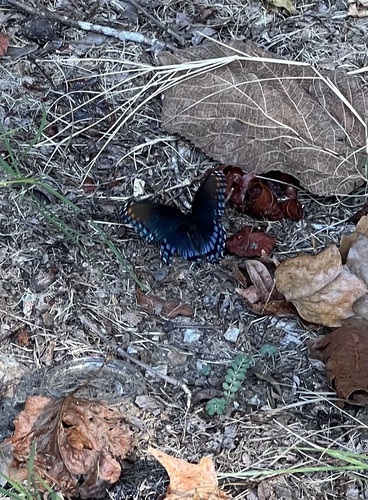
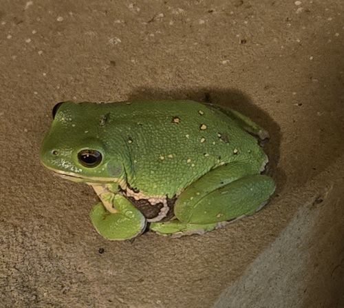
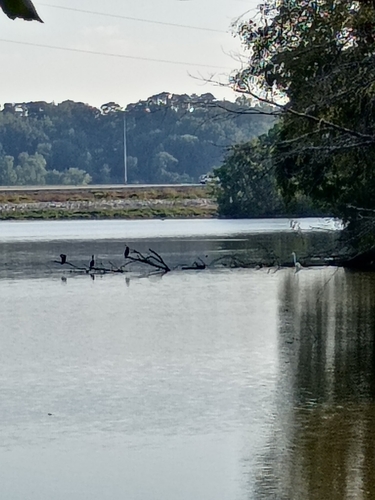
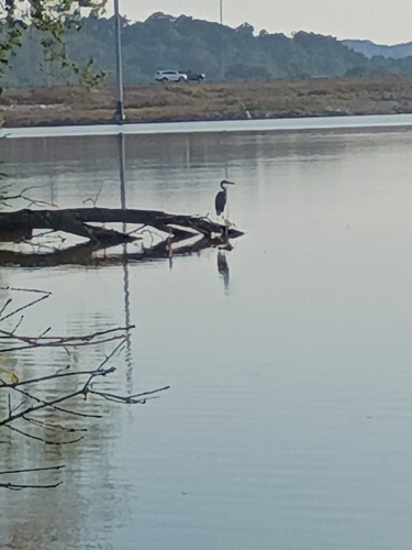
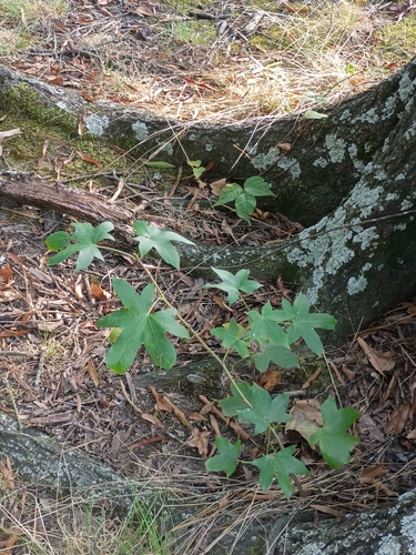
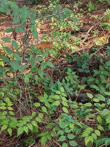
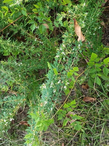
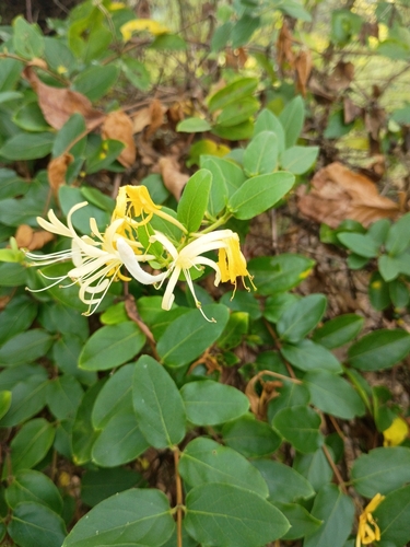
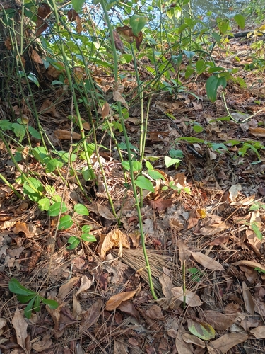
Research-grade observations from iNaturalist (within ~15 mi).
Nearest stream gauge
Events
Gallery
Sources
- • Wikipedia
- • US Census Bureau (ACS 5-year estimates)
- • Wikidata
- • NCES via Urban Institute Education Data Portal
- • iNaturalist
- • CDC PLACES
- • Open-Meteo / sunrise-sunset.org
- • Wikipedia Pageviews API
- • Open Library
- • NASA EONET