Browse / United States / Alabama / Birmingham
Birmingham
Alabamacity

Birmingham
Total population
198,477
Median home value
$189,800
Bachelor's+
Median income
$51,355
Founded
1871
Air quality index
Demographic figures from US Census Bureau · ACS 5-year estimates. Overview below cites Wikipedia and may reference a different year.
City facts
Facts from Wikidata (CC0).
Overview
Birmingham is a city in the north central region of Alabama, United States. It is the third-most populous city in the state, with an estimated population of 196,357 as of 2024. The Birmingham metropolitan area, with over 1.19 million residents, is the largest metropolitan area in Alabama and 47th-most populous in the US. Birmingham serves as a major regional economic, medical, and educational hub of the Deep South, Piedmont, and Appalachian regions. It is the county seat of Jefferson County.
Read more on WikipediaHistory & geography
History
The Birmingham area was historically part of the territory of the Muscogee Confederacy. The most prominent Indigenous settlement in the area in the 19th century was the Upper Creek community of , meaning 'Crazy Town' in Muscogee, located in present-day Indian Springs Village. Birmingham was founded on June 1, 1871, by the Elyton Land Company whose investors included cotton planters, bankers and railroad entrepreneurs. It was named for the English city of Birmingham, the United Kingdom's second largest city. Most of the original settlers who founded Birmingham were of English ancestry. The Elyton Land Company sold lots near the planned crossing of the Alabama & Chattanooga and South & North Alabama railroads, including land formerly a part of the Benjamin P. Worthington plantation. The first business at that crossroads was the trading post and country store operated by Marre & Allen. The site of the railroad crossing was notable for the nearby deposits of iron ore, coal, and limestone – the three main raw materials used in making steel. The Birmingham District is the only place worldwide where significant amounts of all three minerals can be found in close proximity. From the start the new city was planned as a great center of industry. The founders, organized as the Elyton Land Company, borrowed the name of Birmingham, one of England's main industrial cities, to advertise that point. The growth of the planned city was impeded by an outbreak of cholera, and a Wall Street crash in 1873. However, it began to develop shortly afterwards at an explosive rate. In 1911, the town of Elyton and several other surrounding towns were absorbed into Birmingham. The start of the 20th century brought the substantial growth that gave Birmingham the nickname "The Magic City", as…
Geography
Birmingham occupies Jones Valley, flanked by long parallel mountain ridges (the tailing ends of the Appalachian foothills – see Ridge-and-Valley Appalachians) running from north-east to south-west. The valley is drained by small creeks (Village Creek, Valley Creek) which flow into the Black Warrior River. The valley was bisected by the principal railroad corridor, along which most of the early manufacturing operations began. Red Mountain lies immediately south of downtown. Many of Birmingham's television and radio broadcast towers are lined up along this prominent ridge. The "Over the Mountain" area, including Shades Valley, Shades Mountain and beyond, was largely shielded from the industrial smoke and rough streets of the industrial city. This is the setting for Birmingham's more affluent suburbs of Mountain Brook, Vestavia Hills, Homewood, and Hoover. South of Shades Valley is the Cahaba River basin, one of the most diverse river ecosystems in the United States. Sand Mountain, a smaller ridge, flanks the city to the north and divides Jones Valley from much more rugged land to the north. The Louisville and Nashville Railroad (now CSX Transportation) enters the valley through Boyles Gap, a prominent gap in the long low ridge. Ruffner Mountain, located due east of the heart of the city, is home to Ruffner Mountain Nature Center, one of the largest urban nature reserves in the United States. According to the U.S. Census Bureau, the city has a total area of , of which, is land and (1.34%) is water. Most of the metropolitan area lies outside of the city itself. According to the US Census Bureau, the Birmingham area consists of 7 counties and over 100 suburbs. The population of the area as of the 2020 census was 1,180,631. Some argue that the region suffers from…
Excerpted from the corresponding Wikipedia article (CC BY-SA).
Demographics & economy
Race & ethnicity
Source: US Census Bureau — American Community Survey, 5-year estimates.
Geography
Coordinates & boundaries from the US Census TIGER/Line shapefiles.
Climate
Current forecast
Forecast for Birmingham, AL from NOAA NWS API.
Air quality
Current readings from Open-Meteo Air Quality API (Copernicus CAMS European reanalysis).
Industrial & pollution facilities
Natural hazard risk
Health (adults)
Age-adjusted prevalence estimates from CDC PLACES (latest release).
Walkability
Amenities nearby
Wildlife & biodiversity
Most-observed species
- Northern CardinalCardinalis cardinalis (Linnaeus, 1758) · Aves16,351
- Carolina WrenThryothorus ludovicianus (Latham, 1790) · Aves12,555
- Tufted TitmouseBaeolophus bicolor (Linnaeus, 1766) · Aves11,934
- Eastern TowheePipilo erythrophthalmus (Linnaeus, 1758) · Aves11,491
- Carolina ChickadeePoecile carolinensis (Audubon, 1834) · Aves11,464
- Downy WoodpeckerDryobates pubescens (Linnaeus, 1766) · Aves10,586
- House FinchHaemorhous mexicanus (P.L.Statius Müller, 1776) · Aves10,086
- Red-bellied WoodpeckerMelanerpes carolinus (Linnaeus, 1758) · Aves9,281
Citizen-science & research observations from the Global Biodiversity Information Facility (GBIF).
Schools
Largest nearby schools
- Vestavia Hills High SchoolHigh · Vestavia Hills · 1,578 students · 13.8:1 ratio
- Homewood High SchoolHigh · Homewood · 1,330 students · 12.7:1 ratio
- Shades Valley High SchoolHigh · Irondale · 1,200 students · 20.3:1 ratio
- Pizitz Middle SchoolMiddle · Vestavia · 1,158 students · 15.9:1 ratio
- Huffman High SchoolMagnetHigh · Birmingham · 1,147 students · 19.1:1 ratio
- Gardendale High SchoolHigh · Gardendale · 1,047 students · 17.4:1 ratio
- Fultondale Elementary SchoolElementary · Fultondale · 982 students · 18.2:1 ratio
- Mountain Brook Junior High SchoolMiddle · Mountain Brook · 982 students · 12:1 ratio
Public K–12 schools within ~10 mi from Urban Institute Education Data Portal (NCES Common Core of Data, 2022).
Earthquake history
Most recent
- M 3.1 — 2021-12-2210 km E of Maplesville, Alabama
- M 2.87 — 2020-06-254 km NNW of Berry, Alabama
- M 2.7 — 2017-02-1722 km S of Oakman, Alabama
- M 2.6 — 2017-02-1716 km S of Oakman, Alabama
- M 2.5 — 2016-08-2320 km S of Oakman, Alabama
- M 2.8 — 2016-05-168 km W of North Johns, Alabama
Events from the USGS Earthquake Catalog (global) (FDSN Event Web Service).
Photos
Sights & places nearby
Notable people from here


People born within ~10 km, from Wikidata (CC0). Click any name for their Wikipedia article.
Nearby places in Alabama
- Tarrant4.9 mi away · pop. 5,925
- Fultondale6.2 mi away · pop. 9,384
- Woodstock29.5 mi away · pop. 1,218
- Mignon39.1 mi away · pop. 1,186
- Walnut Grove47.3 mi away
- West End-Cobb Town53.7 mi away
- Albertville61 mi away · pop. 22,813
- Whitesboro61.3 mi away · pop. 1,918
- Haleyville67.8 mi away
- Pine Level68.4 mi away · pop. 4,170
- Jacksons' Gap72.1 mi away · pop. 786
- Bear Creek72.8 mi away
Geography & sun
Elevation, sunrise/sunset and daylight from Open-Meteo. Solar climatology from NASA POWER.
Nearby airports
Public attention
Pageview totals from the Wikimedia Pageviews API.
Books about Birmingham

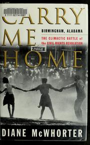
Search results from Open Library.
Recent natural events nearby
- Prescribed Fire CON BSE13 RX, Covington, AlabamaWildfires · 2026-10-07 · 167 mi
- Wildfire RAY COAKER, Washington, AlabamaWildfires · 2026-09-09 · 173 mi
- Wildfire Merit Creek, Greene, MississippiWildfires · 2026-09-23 · 208 mi
- Wildfire Jackson - Hwy 90, Jackson, MississippiWildfires · 2026-08-16 · 236 mi
Wildfires, storms and other events from NASA EONET (last 12 months, within 250 mi).
Ground air-quality sensors
Recently spotted species
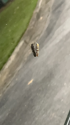

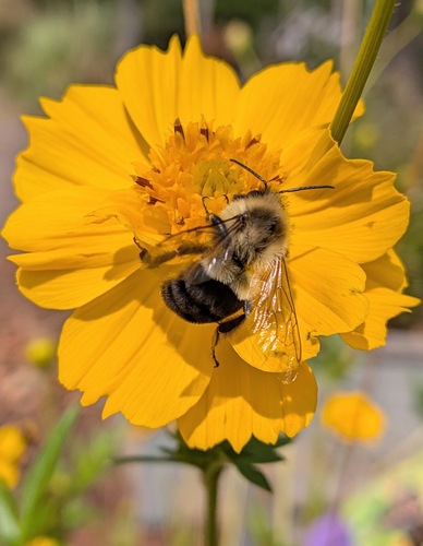
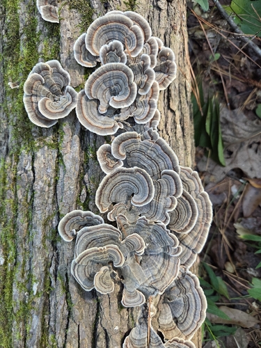
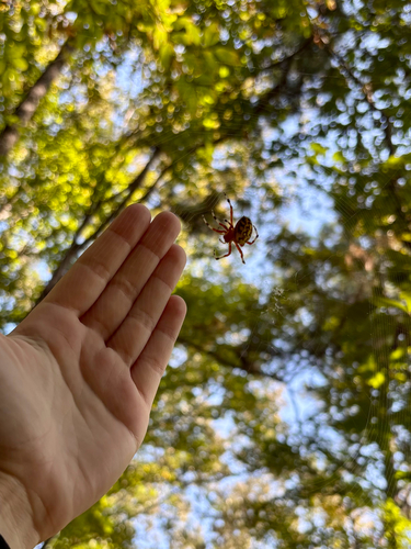
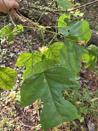
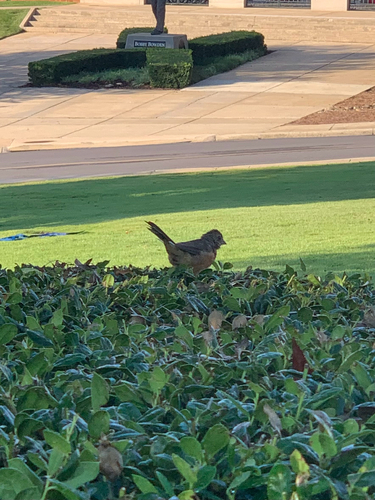
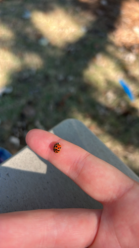
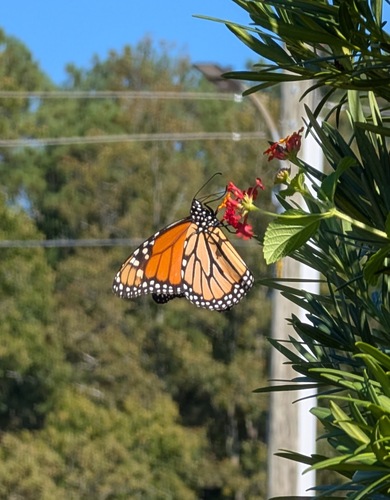
Research-grade observations from iNaturalist (within ~15 mi).
Nearest stream gauge
Events
Gallery
Sources
- • Wikipedia
- • US Census Bureau (ACS 5-year estimates)
- • NOAA National Weather Service
- • Wikidata
- • Open-Meteo Air Quality (CAMS)
- • USGS Earthquake Catalog (global feed)
- • NCES via Urban Institute Education Data Portal
- • GBIF (Global Biodiversity Information Facility)
- • iNaturalist
- • CDC PLACES
- • Open-Meteo / sunrise-sunset.org
- • Wikipedia Pageviews API
- • Open Library
- • NASA EONET
- • Wikidata SPARQL (CC0) — population, area, elevation, inception, head of government, Commons image