Browse / United States / Alabama / Columbiana
Columbiana
Alabamacity

Columbiana
Total population
4,725
Median home value
$259,500
Bachelor's+
Median income
$80,546
Demographic figures from US Census Bureau · ACS 5-year estimates. Overview below cites Wikipedia and may reference a different year.
City facts
Facts from Wikidata (CC0).
Overview
Columbiana is a city and the county seat of Shelby County, Alabama, United States. At the 2020 census, the population was 4,462.
Read more on WikipediaHistory & geography
History
Columbiana, originally called Columbia, was selected as the county seat of Shelby County in 1826 over rivals Calera and Montevallo. After the selection as the county seat, Columbiana celebrated by drilling holes in a large pine tree and packing it with gunpowder. The tree was blown up and the sound could be heard for miles. Later in 1826, the courthouse was moved to an old school building in Columbiana. An act of the Alabama Legislature officially changed the name of Shelby County's county seat to Columbiana on January 13, 1832. Columbiana was incorporated on December 5, 1837, with corporate limits one-quarter of a mile in each direction from the public square. In 1854, the decision was made to build a larger courthouse at the south end of “Silk Stocking Road”, now Main Street. From 1854 to 1908 several additions and changes were made to the courthouse. During the American Civil War, Columbiana was connected to the nearby town of Shelby by the Shelby Iron Company Railroad, which connected the Shelby Iron Works to the Alabama and Tennessee River Railroad. The Iron Works supplied iron to the C.B. Churchill and Company foundry, which moved to Columbiana in 1862 after the fall of Corinth, Mississippi. The Churchill foundry made eight and ten pound shot, eight and ten pound shells, and shells for Blakely rifles. The C.B. Churchill and Company foundry, Shelby Iron Works and the railroad were destroyed by Union forces on March 31, 1865, as part of Wilson's Raid. Moving the courthouse to Columbiana was not necessarily popular in 1826, and there have been numerous attempts to relocate the county seat over the years. In 1901, the Alabama Constitutional Convention addressed the issue by including Section 41 in the new state constitution. Section 41 prohibited a move of…
Geography
The city is located in the southeastern part of the county along Alabama State Route 25, which runs northeast to southwest to the west of the downtown area, leading northeast to Wilsonville and southwest to Calera.
Excerpted from the corresponding Wikipedia article (CC BY-SA).
Demographics & economy
Race & ethnicity
Source: US Census Bureau — American Community Survey, 5-year estimates.
Geography
Coordinates & boundaries from the US Census TIGER/Line shapefiles.
Climate
Current forecast
Forecast for Columbiana, AL from NOAA NWS API.
Air quality
Industrial & pollution facilities
Natural hazard risk
Health (adults)
Age-adjusted prevalence estimates from CDC PLACES (latest release).
Walkability
Amenities nearby
Wildlife & biodiversity
Most-observed species
- Northern CardinalCardinalis cardinalis (Linnaeus, 1758) · Aves3,579
- Northern MockingbirdMimus polyglottos (Linnaeus, 1758) · Aves3,316
- Carolina WrenThryothorus ludovicianus (Latham, 1790) · Aves3,021
- American CrowCorvus brachyrhynchos C.L.Brehm, 1822 · Aves2,895
- Mourning DoveZenaida macroura (Linnaeus, 1758) · Aves2,662
- Blue JayCyanocitta cristata (Linnaeus, 1758) · Aves2,637
- Eastern BluebirdSialia sialis (Linnaeus, 1758) · Aves2,520
- Tufted TitmouseBaeolophus bicolor (Linnaeus, 1766) · Aves2,411
Citizen-science & research observations from the Global Biodiversity Information Facility (GBIF).
Schools
Largest nearby schools
- Chelsea Middle SchoolMiddle · Chelsea · 951 students · 17.6:1 ratio
- Calera ElementaryElementary · Calera · 752 students · 17.1:1 ratio
- Forest Oaks Elementary SchoolElementary · Chelsea · 683 students · 18:1 ratio
- Shelby County High SchoolHigh · Columbiana · 584 students · 14.6:1 ratio
- Elvin Hill Elementary SchoolElementary · Columbiana · 534 students · 17.8:1 ratio
- Columbiana Middle SchoolMiddle · Columbiana · 428 students · 15.9:1 ratio
- Wilsonville Elementary SchoolElementary · Wilsonville · 213 students · 15.2:1 ratio
- Shelby Elementary SchoolElementary · Shelby · 209 students · 16.1:1 ratio
Public K–12 schools within ~10 mi from Urban Institute Education Data Portal (NCES Common Core of Data, 2022).
Earthquake history
Most recent
- M 3.1 — 2021-12-2210 km E of Maplesville, Alabama
- M 2.7 — 2017-02-1722 km S of Oakman, Alabama
- M 2.6 — 2017-02-1716 km S of Oakman, Alabama
- M 2.5 — 2016-08-2320 km S of Oakman, Alabama
- M 2.8 — 2016-05-168 km W of North Johns, Alabama
- M 3 — 2016-04-297 km W of North Johns, Alabama
Events from the USGS Earthquake Catalog (global) (FDSN Event Web Service).
Photos
Sights & places nearby
Notable people from here


People born within ~10 km, from Wikidata (CC0). Click any name for their Wikipedia article.
Nearby places in Alabama
- Sterrett19.5 mi away
- Mignon20.7 mi away · pop. 1,186
- Tarrant29.1 mi away · pop. 5,925
- Woodstock30.9 mi away · pop. 1,218
- Fultondale31.3 mi away · pop. 9,384
- Talladega34.1 mi away · pop. 15,861
- Hackneyville40.5 mi away · pop. 471
- Pine Level43.3 mi away · pop. 4,170
- Jacksons' Gap51 mi away · pop. 786
- Prattville52.2 mi away · pop. 37,781
- West End-Cobb Town53.2 mi away
- Benton62.2 mi away · pop. 32
Geography & sun
Elevation, sunrise/sunset and daylight from Open-Meteo. Solar climatology from NASA POWER.
Nearby airports
Public attention
Pageview totals from the Wikimedia Pageviews API.
Books about Columbiana
Search results from Open Library.
Recent natural events nearby
- Wildfire RAY COAKER, Washington, AlabamaWildfires · 2026-09-09 · 160 mi
- Wildfire Merit Creek, Greene, MississippiWildfires · 2026-09-23 · 197 mi
- Wildfire Jackson - Hwy 90, Jackson, MississippiWildfires · 2026-08-16 · 220 mi
Wildfires, storms and other events from NASA EONET (last 12 months, within 250 mi).
Ground air-quality sensors
Recently spotted species
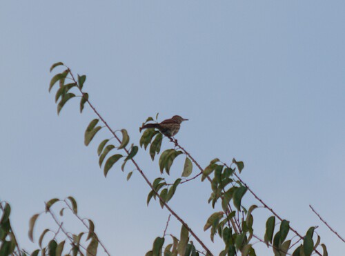
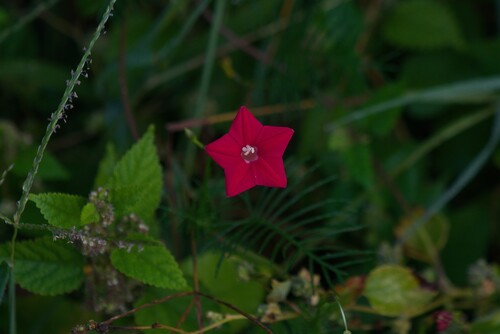
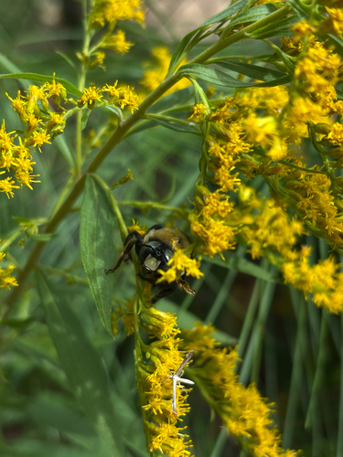
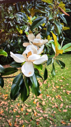
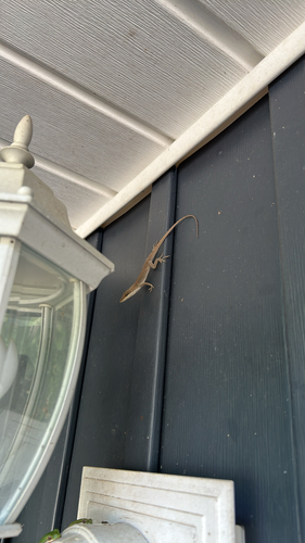
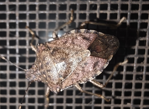
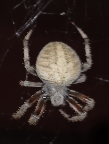
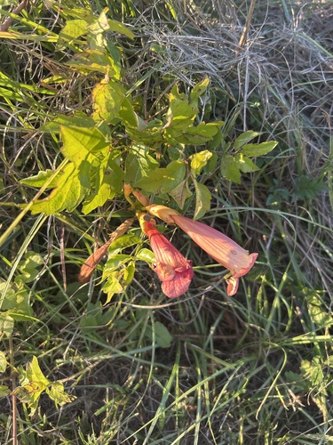
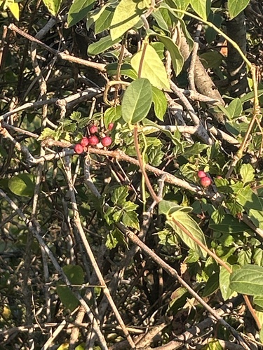
Research-grade observations from iNaturalist (within ~15 mi).
Nearest stream gauge
Live readings from USGS NWIS · measured 2026-10-06 11:45 UTC.
Events
Gallery
Sources
- • Wikipedia
- • US Census Bureau (ACS 5-year estimates)
- • NOAA National Weather Service
- • Wikidata
- • USGS Earthquake Catalog (global feed)
- • USGS NWIS (water data)
- • NCES via Urban Institute Education Data Portal
- • GBIF (Global Biodiversity Information Facility)
- • iNaturalist
- • CDC PLACES
- • Open-Meteo / sunrise-sunset.org
- • Wikipedia Pageviews API
- • Open Library
- • NASA EONET
- • Wikidata SPARQL (CC0) — population, area, elevation, inception, head of government, Commons image