Browse / United States / Alabama / Decatur
Decatur
Alabamacity

Decatur
Total population
57,361
Median home value
$210,200
Bachelor's+
Median income
$61,563
Founded
1821
Demographic figures from US Census Bureau · ACS 5-year estimates. Overview below cites Wikipedia and may reference a different year.
- Heat Advisory · ModerateHeat Advisory issued September 17 at 12:01PM CDT until September 19 at 8:00PM CDT by NWS Huntsville AL
Source: NOAA National Weather Service.
City facts
Facts from Wikidata (CC0).
Overview
Decatur is the largest city in and the county seat of Morgan County in the U.S. state of Alabama. Nicknamed "The River City," it is located in northern Alabama on the banks of Wheeler Lake along the Tennessee River. The population was 57,938 at the 2020 census.
Read more on WikipediaHistory & geography
History
Initially, the area was known as "Rhodes Ferry Landing", named for Dr. Henry W. Rhodes, an early landowner who operated a ferry that crossed the Tennessee River in the 1810s at the present-day location of Rhodes Ferry Park. The city was incorporated as Decatur in 1821. It was named in honor of Stephen Decatur; after he was killed in a duel in 1820, President Monroe directed that the Alabama town be named for him. In the early 1830s, Decatur was the eastern terminus of the Tuscumbia, Courtland and Decatur Railroad, the first railway built west of the Appalachian Mountains. In 1850, the Tuscumbia, Courtland and Decatur was incorporated into the Memphis & Charleston Railroad. Because of its location on the Tennessee River at the strategically important crossing of two major railroads, Decatur was the site of several encounters during the American Civil War. When the Union Army occupied the city early in the war, the commanding general ordered all but four buildings in the town to be destroyed. Bricks from some of the churches in town were used to build stoves and chimneys for the buildings that housed soldiers. Three of the buildings that remained are still standing - the Old State Bank, the Dancy-Polk House, and the Burleson-Hinds-McEntire House. After the Union victory in the Battle of Atlanta, a Confederate army under the command of General John Bell Hood briefly sparred with a vastly outmanned garrison during the 1864 Battle of Decatur, when the city was referred to as "A Tough Nut to Crack." While the city was under Confederate control, plans for the Battle of Shiloh were mapped out within the Burleson-Hinds-McEntire House. These activities make the house one of the most historic buildings in Decatur. New Decatur was a city that rose out of the ashes of former…
Geography
The Tennessee River has traditionally been the northern border of the city and Morgan County, but a small portion of the city extends across the river into Limestone County between U.S. 31 and I-65. Major bodies of water in the city include Wheeler Lake on the Tennessee River itself, plus Flint Creek, and Dry Branch, tributaries of the Tennessee River. The city extends to the other side of Flint Creek and the Refuge in the Indian Hills and Burningtree subdivision areas. The northern portion of Decatur sits on top of a short hill that overlooks the Tennessee River; this creates a very steep drop-off to the river shore at Rhodes Ferry Park. This hill allows the "Steamboat Bill" Memorial Bridge to leave the mainland at grade without any major sloping required to cross the river while not interfering with Decatur's heavy barge traffic. This hill extends from the banks of the river about south to the 14th St./Magnolia St. intersection with 6th Avenue (US 31). South past the 14th St. and 6th Ave. intersection, land remains flat. South, and also west, past S.R. 67 there are a few minor ridges that sit within the city limits. According to the United States Census Bureau, the city has a total area of , of which is land and , is water. Winters usually do not produce much snow; a large amount of snow is rare within the city limits. A small, measurable amount of snow can be experienced a few times each year. In 2011, Decatur received up to of snow in a single storm. It tied for the most since 1963. Summers are hot and humid with a July daily average temperature of . There are 51–52 days of + highs annually and 1.7 days of + highs. |date=August 2010 }} * Athens (north) - Limestone County * Hartselle (south) - Morgan County * Hillsboro (west) - Lawrence County * Huntsville…
Excerpted from the corresponding Wikipedia article (CC BY-SA).
Demographics & economy
Race & ethnicity
Source: US Census Bureau — American Community Survey, 5-year estimates.
Geography
Coordinates & boundaries from the US Census TIGER/Line shapefiles.
Climate
Current forecast
Forecast for Decatur, AL from NOAA NWS API.
Air quality
Industrial & pollution facilities
Natural hazard risk
Health (adults)
Age-adjusted prevalence estimates from CDC PLACES (latest release).
Walkability
Amenities nearby
Wildlife & biodiversity
Most-observed species
- Northern CardinalCardinalis cardinalis (Linnaeus, 1758) · Aves6,940
- Carolina WrenThryothorus ludovicianus (Latham, 1790) · Aves5,897
- Great Blue/Cocoi HeronArdea herodias Linnaeus, 1758 · Aves5,499
- Great EgretArdea alba Linnaeus, 1758 · Aves5,356
- Blue JayCyanocitta cristata (Linnaeus, 1758) · Aves5,267
- Tufted TitmouseBaeolophus bicolor (Linnaeus, 1766) · Aves5,184
- American CrowCorvus brachyrhynchos C.L.Brehm, 1822 · Aves5,144
- Red-bellied WoodpeckerMelanerpes carolinus (Linnaeus, 1758) · Aves5,122
Citizen-science & research observations from the Global Biodiversity Information Facility (GBIF).
Schools
Largest nearby schools
- Decatur High SchoolHigh · Decatur · 1,040 students · 17:1 ratio
- Hartselle High SchoolHigh · Hartselle · 1,031 students · 15.2:1 ratio
- Austin High SchoolHigh · Decatur · 1,025 students · 15.3:1 ratio
- Decatur Middle SchoolMiddle · Decatur · 815 students · 15.1:1 ratio
- Austin Junior High SchoolOther · Decatur · 773 students · 16.8:1 ratio
- Austin Middle SchoolMiddle · Decatur · 714 students · 15.2:1 ratio
- Priceville Elementary SchoolElementary · Priceville · 667 students · 18.5:1 ratio
- West Morgan Elementary SchoolElementary · Trinity · 616 students · 20.5:1 ratio
Public K–12 schools within ~10 mi from Urban Institute Education Data Portal (NCES Common Core of Data, 2022).
Earthquake history
Most recent
- M 2.53 — 2026-04-2712 km NNE of Trinity, Alabama
- M 2.66 — 2022-08-136 km NW of Hazel Green, Alabama
- M 2.62 — 2020-11-0113 km SE of Triana, Alabama
- M 2.53 — 2020-02-0813 km S of Moulton, Alabama
- M 2.79 — 2018-07-060 km WSW of Muscle Shoals, Alabama
- M 2.69 — 2017-12-207 km WSW of Scottsboro, Alabama
Events from the USGS Earthquake Catalog (global) (FDSN Event Web Service).
Photos
Sights & places nearby
Notable people from here


People born within ~10 km, from Wikidata (CC0). Click any name for their Wikipedia article.
Nearby places in Alabama
- Courtland20.4 mi away · pop. 583
- Muscle Shoals38.4 mi away · pop. 16,275
- Sheffield42.2 mi away · pop. 9,340
- Haleyville42.8 mi away
- Bear Creek46.7 mi away
- Albertville49.3 mi away · pop. 22,813
- Walnut Grove53.3 mi away
- Whitesboro60 mi away · pop. 1,918
- Pisgah65.5 mi away · pop. 923
- Waterloo65.5 mi away · pop. 113
- Fultondale66.9 mi away · pop. 9,384
- Tarrant68.9 mi away · pop. 5,925
Geography & sun
Elevation, sunrise/sunset and daylight from Open-Meteo. Solar climatology from NASA POWER.
Nearby airports
Public attention
Pageview totals from the Wikimedia Pageviews API.
Books about Decatur

Search results from Open Library.
Recent natural events nearby
Ground air-quality sensors
Recently spotted species
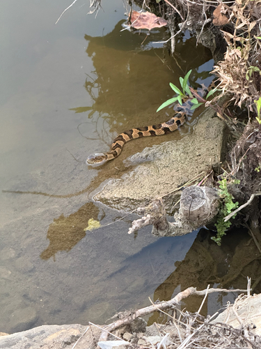
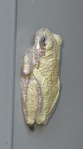
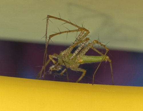

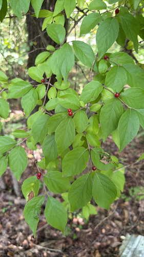
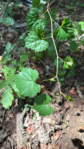
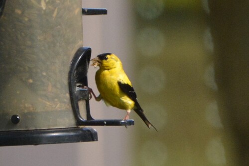
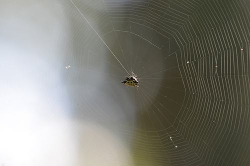
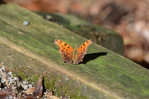
Research-grade observations from iNaturalist (within ~15 mi).
Nearest stream gauge
Events
Gallery
Sources
- • Wikipedia
- • US Census Bureau (ACS 5-year estimates)
- • NOAA National Weather Service
- • Wikidata
- • USGS Earthquake Catalog (global feed)
- • NCES via Urban Institute Education Data Portal
- • GBIF (Global Biodiversity Information Facility)
- • iNaturalist
- • CDC PLACES
- • Open-Meteo / sunrise-sunset.org
- • Wikipedia Pageviews API
- • Open Library
- • Wikidata SPARQL (CC0) — population, area, elevation, inception, head of government, Commons image