Browse / United States / Alabama / Huntsville
Huntsville
Alabamacity

Huntsville
Total population
230,157
Median home value
$339,400
Bachelor's+
Median income
$83,235
Founded
1805
Air quality index
Demographic figures from US Census Bureau · ACS 5-year estimates. Overview below cites Wikipedia and may reference a different year.
- Extreme Heat Warning · SevereExtreme Heat Warning issued July 1 at 5:46AM CDT until July 1 at 7:00PM CDT by NWS Huntsville AL
- Heat Advisory · ModerateHeat Advisory issued July 1 at 5:46AM CDT until July 2 at 7:00PM CDT by NWS Huntsville AL
Source: NOAA National Weather Service.
City facts
Sister cities
Facts from Wikidata (CC0).
Overview
Huntsville is the most populous city in the U.S. state of Alabama. The population was 215,006 at the 2020 census, making it the 100th-most populous city in the U.S., while the Huntsville metropolitan area has an estimated 542,000 residents and is the second-most populous metropolitan area in the state. As of July 1, 2025, the city's population was estimated to be 249,102 – a 15.9% increase since the 2020 Census. This makes it among the top 20 fastest growing cities in the US. Huntsville is the county seat of Madison County, with portions extending into Limestone County, Marshall County, and Morgan County.
Read more on WikipediaHistory & geography
History
Due to settlement pressures after the United States gained independence, this area had become largely empty of indigenous peoples by the turn of the 19th century. An Indian trader and boatman named James Ditto established himself at a landing on the river prior to American settlement. Revolutionary War veteran John Hunt was a pioneer in 1805 on land around the Big Spring. The US negotiated an 1805 treaty with the Chickasaw and an 1806 treaty with the Cherokee who ceded their claims to land to the federal government. The area was subsequently purchased by LeRoy Pope, who named it Twickenham after the home village of his distant kinsman Alexander Pope. Thomas Freeman and Roach started government surveys in 1805. Twickenham was carefully planned, with streets laid out in a northeast to southwest direction based on the flow of Big Spring. Given anti-British sentiment during this period after the Revolution and with tensions leading to the War of 1812, in 1811 the town name was changed to "Huntsville" to honor pioneer John Hunt. Both John Hunt and LeRoy Pope were Freemasons and charter members of Helion Lodge #1, the oldest lodge in Alabama. In 1811, Huntsville became the first incorporated town in what is now Alabama. However, the recognized "founding" year of the city is 1805, the year of John Hunt's arrival. David Wade settled in Huntsville in 1817. He built the David Wade House on the north side of what is now Bob Wade Lane (Robert B. Wade was David's grandson), just east of Mt. Lebanon Road. Huntsville's initial growth was based on wealth generated by the sale of cotton from plantations, for which there was international demand, and trade associated with railroad industries. Many wealthy planters moved into the area from Virginia, Georgia, and the Carolinas to…
Geography
According to the United States Census Bureau, the city has a total area of , of which is land and , is water as of 2023. Huntsville has grown through recent annexations west into Limestone County by in the early 2000s, and south into Morgan County with in 2018. Huntsville also expanded over into Marshall County in 2025 near Hobbs Island, making Huntsville the only municipality in Alabama to be located in 4 counties. Huntsville is so large in fact that its easternmost point and westernmost point are apart and its northernmost point and southernmost point are apart as of September 2025. Huntsville has the 29th largest land area in the United States for cities with a population over 100,000. Huntsville has borders surrounding both the cities of Madison and Triana. Huntsville also borders the cities of Decatur, Athens, Owens Cross Roads, the town of Mooresville as well as the census-designated places of Moores Mill, Meridianville, Lacey's Spring, and Redstone Arsenal. Situated in the Tennessee River valley, Huntsville is partially surrounded by several plateaus, large hills, and mountains. These plateaus are associated with the Cumberland Plateau. Monte Sano Mountain (Spanish for "Mountain of Health") is the most notable and is east of the city, along with Round Top (Burritt), Chapman, Huntsville, and Green mountains. Others are Wade Mountain to the north, Rainbow Mountain to the west, and Weeden and Madkin mountains on the Redstone Arsenal property in the south. Brindley Mountain is visible in the south across the Tennessee River. As with other areas along the Cumberland Plateau, the land around Huntsville is karst in nature. The city was founded around the Big Spring, which is a typical karst spring. Many caves perforate the limestone bedrock underneath the…
Excerpted from the corresponding Wikipedia article (CC BY-SA).
Demographics & economy
Race & ethnicity
Source: US Census Bureau — American Community Survey, 5-year estimates.
Geography
Coordinates & boundaries from the US Census TIGER/Line shapefiles.
Climate
Current forecast
Forecast for Huntsville, AL from NOAA NWS API.
Air quality
Current readings from Open-Meteo Air Quality API (Copernicus CAMS European reanalysis).
Industrial & pollution facilities
Natural hazard risk
Health (adults)
Age-adjusted prevalence estimates from CDC PLACES (latest release).
Walkability
Amenities nearby
Wildlife & biodiversity
Most-observed species
- Northern CardinalCardinalis cardinalis (Linnaeus, 1758) · Aves14,747
- Carolina WrenThryothorus ludovicianus (Latham, 1790) · Aves12,078
- Tufted TitmouseBaeolophus bicolor (Linnaeus, 1766) · Aves11,605
- Blue JayCyanocitta cristata (Linnaeus, 1758) · Aves11,465
- American RobinTurdus migratorius Linnaeus, 1766 · Aves10,782
- Carolina ChickadeePoecile carolinensis (Audubon, 1834) · Aves10,534
- Red-bellied WoodpeckerMelanerpes carolinus (Linnaeus, 1758) · Aves9,764
- Mourning DoveZenaida macroura (Linnaeus, 1758) · Aves9,291
Citizen-science & research observations from the Global Biodiversity Information Facility (GBIF).
Schools
Largest nearby schools
- Virgil Grissom High SchoolHigh · Huntsville · 1,974 students · 21:1 ratio
- Bob Jones High SchoolHigh · Madison · 1,920 students · 17.6:1 ratio
- Huntsville High SchoolHigh · Huntsville · 1,826 students · 18.4:1 ratio
- Sparkman High SchoolHigh · Harvest · 1,738 students · 19.1:1 ratio
- Liberty Middle SchoolMiddle · Madison · 1,493 students · 19.1:1 ratio
- Discovery Middle SchoolMiddle · Madison · 1,334 students · 16.7:1 ratio
- Monrovia Middle SchoolMiddle · Huntsville · 1,003 students · 20.1:1 ratio
- MidTown Elementary SchoolElementary · Madison · 999 students · 18.2:1 ratio
Public K–12 schools within ~10 mi from Urban Institute Education Data Portal (NCES Common Core of Data, 2022).
Earthquake history
Most recent
- M 2.53 — 2026-04-2712 km NNE of Trinity, Alabama
- M 2.5 — 2023-12-237 km ENE of Stevenson, Alabama
- M 2.52 — 2023-06-216 km SSE of Sewanee, Tennessee
- M 2.66 — 2022-08-136 km NW of Hazel Green, Alabama
- M 2.62 — 2020-11-0113 km SE of Triana, Alabama
- M 2.78 — 2020-05-107 km SSE of Sewanee, Tennessee
Events from the USGS Earthquake Catalog (global) (FDSN Event Web Service).
Photos
Sights & places nearby
Notable people from here


People born within ~10 km, from Wikidata (CC0). Click any name for their Wikipedia article.
Nearby places in Alabama
- Redstone Arsenal1.1 mi away
- Triana8.6 mi away · pop. 2,890
- Mooresville12.6 mi away · pop. 47
- Owens Cross Roads14.8 mi away · pop. 2,594
- New Hope18.6 mi away · pop. 2,889
- Woodville22.8 mi away
- Falkville25.8 mi away · pop. 1,197
- Pleasant Groves27.3 mi away · pop. 426
- Baileyton30.4 mi away
- East Point35.6 mi away · pop. 172
- West Point35.7 mi away
- Scottsboro35.9 mi away · pop. 15,578
Geography & sun
Elevation, sunrise/sunset and daylight from Open-Meteo. Solar climatology from NASA POWER.
Nearby airports
Public attention
Pageview totals from the Wikimedia Pageviews API.
Books about Huntsville


Search results from Open Library.
Recent natural events nearby
- Unit 16/20 Rx Prescribed Fire, Bibb, AlabamaWildfires · 2026-06-12 · 115 mi
- SHADY GROVE Wildfire, Russell, AlabamaWildfires · 2026-04-28 · 183 mi
Wildfires, storms and other events from NASA EONET (last 12 months, within 250 mi).
Ground air-quality sensors
Recently spotted species
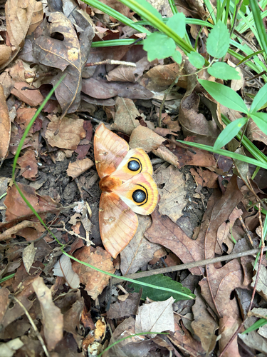
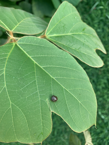
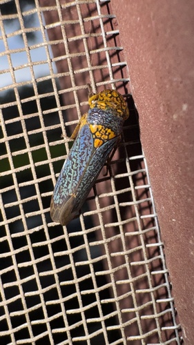
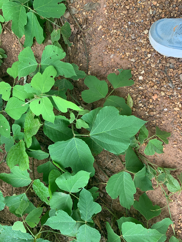
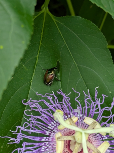
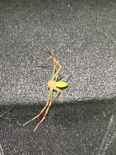
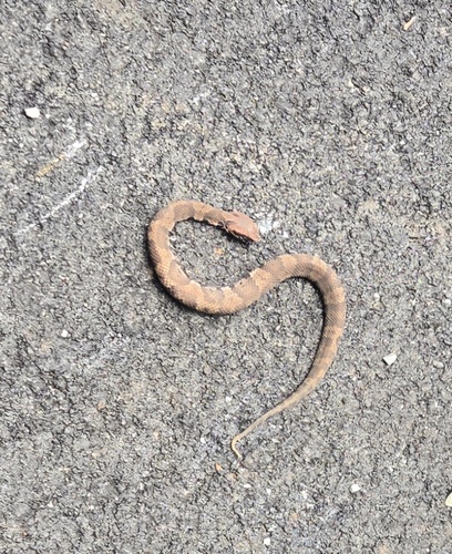
Research-grade observations from iNaturalist (within ~15 mi).
Nearest stream gauge
Live readings from USGS NWIS · measured 2026-07-05 04:15 UTC.
Events
Notable, recurring, and historical events associated with Huntsville, sourced from Wikidata.
- Con†Stellationrecurring event
annual general-interest science fiction convention held in Huntsville, Alabama
Source: Wikidata (CC0).
Gallery
Geotagged photos within ~6 miles of Huntsville, from Wikimedia Commons contributors.
 0.3 mi
 0.4 mi
.jpg) 0.8 mi
0.8 mi 1 mi
1 mi.jpg) 1.1 mi
1.1 mi 1.2 mi
 1.2 mi
 1.2 mi
 1.3 mi
 1.3 mi
.jpg) 1.3 mi
1.3 mi 1.3 mi
 1.4 mi
 1.4 mi
 1.4 mi
 1.4 mi
 1.4 mi
 1.4 mi
 1.4 mi
 1.4 mi
 1.4 mi
 1.4 mi
 1.4 mi
 1.4 mi
Photos via Wikimedia Commons — see each image page for license & attribution.
Sources
- • Wikipedia
- • US Census Bureau (ACS 5-year estimates)
- • NOAA National Weather Service
- • Wikimedia Commons
- • Wikidata
- • Open-Meteo Air Quality (CAMS)
- • USGS Earthquake Catalog (global feed)
- • USGS NWIS (water data)
- • NCES via Urban Institute Education Data Portal
- • GBIF (Global Biodiversity Information Facility)
- • iNaturalist
- • CDC PLACES
- • Open-Elevation
- • Open-Meteo / sunrise-sunset.org
- • Wikipedia Pageviews API
- • Open Library
- • NASA EONET
- • Wikidata SPARQL (CC0) — population, area, elevation, inception, head of government, Commons image
Notes: Climate data unavailable; Nearby POIs unavailable; Photos unavailable; Air quality unavailable; Walkability unavailable; Wildlife observations unavailable; EPA pollution data unavailable; Livability counts unavailable; FEMA NRI data unavailable