Browse / United States / Alabama / Madison
Madison
Alabamacity

Madison
Total population
60,106
Founded
1818
Air quality index
Demographic figures from US Census Bureau · ACS 5-year estimates. Overview below cites Wikipedia and may reference a different year.
- Heat Advisory · ModerateHeat Advisory issued June 27 at 11:20PM CDT until June 30 at 7:00PM CDT by NWS Huntsville AL
Source: NOAA National Weather Service.
City facts
Facts from Wikidata (CC0).
Overview
Madison is a city located primarily in Madison County, near the northern border of the U.S. state of Alabama. Madison extends west into neighboring Limestone County. The city is included in the Huntsville Metropolitan Area, the second-largest in the state, and is also included in the merged Huntsville-Decatur Combined Statistical Area. The population was 56,933 at the 2020 census. Madison is an enclave of Huntsville, which surrounds it on all sides, though there are some small unincorporated lands within Madison in Madison and Limestone counties and along the border with Huntsville.
Read more on WikipediaHistory & geography
History
The area was occupied historically by the Koasati (also known as Coushatta), a Muskogean-speaking people. Before them were thousands of years of indigenous cultures. Madison's first European-American resident was John Cartwright, who settled in the area in 1818. The city was originally known as "Madison Station", as it developed in the 1850s around a stop of the Memphis & Charleston Railroad. Textile mills were built in the area in the late 19th century for processing and manufacture of cotton products. Madison was the site of a battle in the American Civil War. On May 17, 1864, Col. Josiah Patterson's 5th Alabama Cavalry, supported by Col. James H. Stuart's cavalry battalion and a section of horse artillery, drove Col. Adam G. Gorgas's 13th Illinois Infantry Regiment from the city. Patterson's men captured the 13th Illinois Regiment's wagon train, taking 66 prisoners. They also burned Union supplies and tore up the railroad tracks before retreating. Portions of the 5th Ohio Cavalry, the 59th Indiana Infantry, and the 5th Iowa Infantry were sent in pursuit from Huntsville. They skirmished with Patterson's rear guard that evening at Fletcher's Ferry on the Tennessee River south of Madison. The town was incorporated on December 2, 1869. From 1880 to 1950, rural Madison had a population of some 400-500 residents. In World War II and the postwar period, military and NASA operations were moved to Huntsville, stimulating an increase in population in the region. Subsidized highways stimulated suburbanization, attracting residents to outlying areas where new homes were built. By 1980, Madison's population was 4,057. In the late 20th century, Madison's population increased rapidly as it developed as a suburb of Huntsville. In 1986, Madison voters overwhelmingly voted to…
Geography
According to the United States Census Bureau, the city has a total area of , of which is land and , is water. primarily within Madison County, while extending west into Limestone County. Downtown Huntsville is east of the center of Madison, although Huntsville also borders Madison to the south and west. Athens is to the northwest, and Decatur is to the southwest, across the Tennessee River.
Excerpted from the corresponding Wikipedia article (CC BY-SA).
Demographics & economy
Geography
Coordinates & boundaries from the US Census TIGER/Line shapefiles.
Climate
10-year averages from ERA5 reanalysis (Open-Meteo).
Current forecast
Forecast for Madison, AL from NOAA NWS API.
Air quality
Current readings from Open-Meteo Air Quality API (Copernicus CAMS European reanalysis).
Industrial & pollution facilities
Natural hazard risk
Health (adults)
Age-adjusted prevalence estimates from CDC PLACES (latest release).
Walkability
Amenities nearby
Wildlife & biodiversity
Most-observed species
- Northern CardinalCardinalis cardinalis (Linnaeus, 1758) · Aves12,506
- Blue JayCyanocitta cristata (Linnaeus, 1758) · Aves10,082
- Carolina WrenThryothorus ludovicianus (Latham, 1790) · Aves9,969
- American RobinTurdus migratorius Linnaeus, 1766 · Aves9,371
- Tufted TitmouseBaeolophus bicolor (Linnaeus, 1766) · Aves9,144
- Mourning DoveZenaida macroura (Linnaeus, 1758) · Aves8,450
- Carolina ChickadeePoecile carolinensis (Audubon, 1834) · Aves8,396
- Northern MockingbirdMimus polyglottos (Linnaeus, 1758) · Aves8,117
Citizen-science & research observations from the Global Biodiversity Information Facility (GBIF).
Schools
Largest nearby schools
- Bob Jones High SchoolHigh · Madison · 1,920 students · 17.6:1 ratio
- Sparkman High SchoolHigh · Harvest · 1,738 students · 19.1:1 ratio
- Liberty Middle SchoolMiddle · Madison · 1,493 students · 19.1:1 ratio
- Discovery Middle SchoolMiddle · Madison · 1,334 students · 16.7:1 ratio
- Monrovia Middle SchoolMiddle · Huntsville · 1,003 students · 20.1:1 ratio
- MidTown Elementary SchoolElementary · Madison · 999 students · 18.2:1 ratio
- Columbia High SchoolHigh · Huntsville · 954 students · 18:1 ratio
- Mill Creek Elementary SchoolElementary · Madison · 940 students · 15.7:1 ratio
Public K–12 schools within ~10 mi from Urban Institute Education Data Portal (NCES Common Core of Data, 2022).
Earthquake history
Most recent
- M 2.53 — 2026-04-2712 km NNE of Trinity, Alabama
- M 2.5 — 2023-12-237 km ENE of Stevenson, Alabama
- M 2.52 — 2023-06-216 km SSE of Sewanee, Tennessee
- M 2.66 — 2022-08-136 km NW of Hazel Green, Alabama
- M 2.62 — 2020-11-0113 km SE of Triana, Alabama
- M 2.78 — 2020-05-107 km SSE of Sewanee, Tennessee
Events from the USGS Earthquake Catalog (global) (FDSN Event Web Service).
Photos
Sights & places nearby
Notable people from here


People born within ~10 km, from Wikidata (CC0). Click any name for their Wikipedia article.
Geography & sun
Elevation, sunrise/sunset and daylight from Open-Meteo. Solar climatology from NASA POWER.
Nearby airports
Public attention
Pageview totals from the Wikimedia Pageviews API.
Books about Madison


Search results from Open Library.
Recent natural events nearby
- Unit 16/20 Rx Prescribed Fire, Bibb, AlabamaWildfires · 2026-06-12 · 115 mi
- SHADY GROVE Wildfire, Russell, AlabamaWildfires · 2026-04-28 · 186 mi
- Chickasawhay CPT 441 RX Prescribed Fire, Wayne, MississippiWildfires · 2026-05-16 · 249 mi
- Chickasawhay CPT 439 441 RX Prescribed Fire, Wayne, MississippiWildfires · 2026-05-14 · 249 mi
Wildfires, storms and other events from NASA EONET (last 12 months, within 250 mi).
Ground air-quality sensors
Recently spotted species
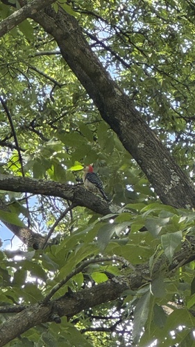
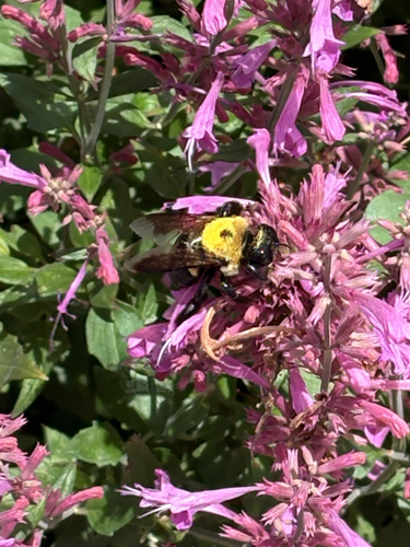
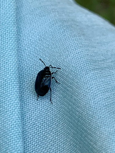
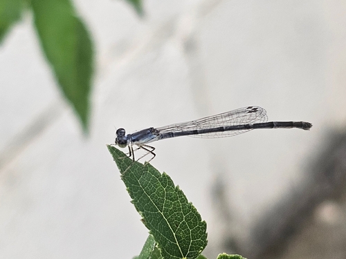
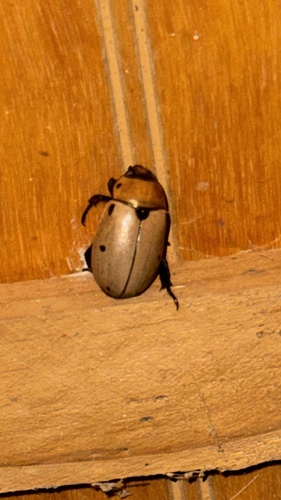
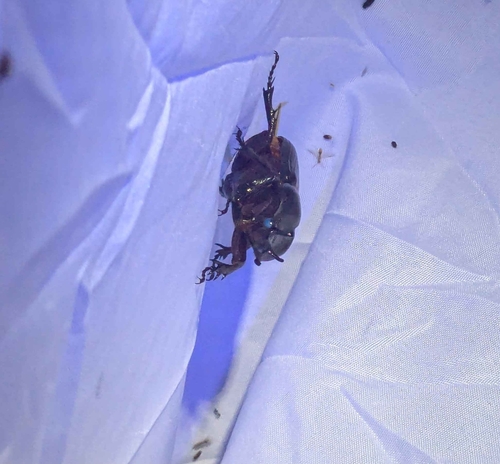

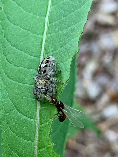
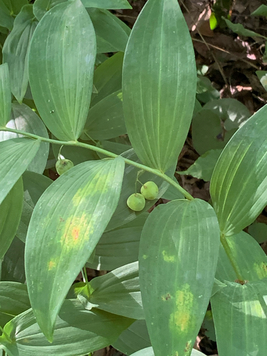
Research-grade observations from iNaturalist (within ~15 mi).
Nearest stream gauge
Live readings from USGS NWIS · measured 2026-06-27 23:15 UTC.
Events
Gallery
Geotagged photos within ~6 miles of Madison, from Wikimedia Commons contributors.
 1.1 mi
 1.3 mi
.jpg) 1.3 mi
1.3 mi 1.9 mi
 2 mi
2 mi 2 mi
2 mi 2 mi
2 mi 2.3 mi
 2.3 mi
 2.3 mi
 2.3 mi
 2.3 mi
 2.3 mi
 2.3 mi
 2.3 mi
 2.3 mi
.jpg) 2.4 mi
2.4 mi.jpg) 2.7 mi
2.7 mi 2.8 mi
.jpg) 3.2 mi
3.2 mi.jpg) 3.5 mi
3.5 mi.jpg) 3.5 mi
3.5 mi.jpg) 3.6 mi
3.6 mi 3.6 mi
Photos via Wikimedia Commons — see each image page for license & attribution.
Sources
- • Wikipedia
- • Open-Meteo (ERA5 reanalysis)
- • NOAA National Weather Service
- • Wikimedia Commons
- • Wikidata
- • Open-Meteo Air Quality (CAMS)
- • USGS Earthquake Catalog (global feed)
- • USGS NWIS (water data)
- • NCES via Urban Institute Education Data Portal
- • GBIF (Global Biodiversity Information Facility)
- • iNaturalist
- • CDC PLACES
- • Open-Meteo / sunrise-sunset.org
- • Wikipedia Pageviews API
- • Open Library
- • NASA EONET
- • Wikidata SPARQL (CC0) — population, area, elevation, inception, head of government, Commons image