Browse / United States / Alabama / Pell City
Pell City
Alabamacity

Pell City
Total population
13,587
Median home value
$249,600
Bachelor's+
Median income
$68,638
Founded
1890
Demographic figures from US Census Bureau · ACS 5-year estimates. Overview below cites Wikipedia and may reference a different year.
- Tropical Cyclone Local Statement · ModerateTropical Cyclone Local Statement issued October 8 at 10:19AM CDT by NWS Birmingham AL
- Tropical Storm Watch · SevereTropical Storm Watch issued October 8 at 10:05AM CDT by NWS Birmingham AL
Source: NOAA National Weather Service.
City facts
Facts from Wikidata (CC0).
Overview
Pell City is a city in and one of the county seats of St. Clair County, Alabama, United States, the other seat being Ashville. At the 2020 census, the population was 12,939. At the 2010 census, the city-limit population jumped to 12,695.
Read more on WikipediaHistory & geography
History
Railroad investors founded Pell City in 1890 and named it after George Pell of the Pell City Iron and Land Company, one of its financial backers. The city was incorporated on May 6, 1891, but nearly failed during the Panic of 1893. The mill was the economic and social center of the town during its development and early growth. Besides the textile mill, other economic endeavors included agriculture and mercantile establishments. Large cotton, soybean, and cattle farms were located in the area. Pell City increased its size in 1956 when the nearby towns of Eden and Oak Ridge were merged with the city. The first mayor was Green Evans. The residences of Sumter Cogswell and Green Evans (Pell City's first mayor) are two of the earliest structures, dating from the late nineteenth century. The majority of the historic structures date from 1902 to 1905. Ashville, Alabama, in the northern part of St. Clair County was the county seat from 1821 to 1907. A constitutional amendment in 1907 established Pell City as the second county seat, and for many years St. Clair County was the only county in the country with two full-service county seats. Both county seats remain operational to this day although Pell City has far surpassed Ashville in growth in large part due to I-20 and Logan Martin Lake. The construction of Logan Martin Dam in 1964 created the lake and a large recreational area, which brought new businesses, temporary summer residents and tourists, and hundreds of new permanent residents building new homes along the new lake. On April 8, 1998, an F2 tornado struck north of the city limits after the F5 tornado expired in western Jefferson County. This windstorm killed two people in a mobile home. It remained for , partially damaging a church, twenty-six homes and mobile…
Geography
According to the U.S. Census Bureau, the city has a total area of , of which is land and or 9.57% is water. It is the largest city in St. Clair County. The city is located on the shores of Logan Martin Lake, created by the construction of Logan Martin Dam in 1964 to provide hydro-electric power to the central region of the state. The city is surrounded by the unincorporated communities of Wattsville to the north, Cropwell to the south, Seddon to the east, and Chulavista to the west. The city is located along Interstate 20, which runs west to east through the northern part of the city, leading east 114 mi (183 km) to Atlanta and west 35 mi (56 km) to Birmingham. Access to the city can be found from exits 156 and 158. U.S. Route 231 also runs through the city, leading north 19 mi (31 km) to Ashville and southwest 21 mi (34 km) to Harpersville. U.S. Route 78 also runs through the city, paralleling I-20.
Excerpted from the corresponding Wikipedia article (CC BY-SA).
Demographics & economy
Race & ethnicity
Source: US Census Bureau — American Community Survey, 5-year estimates.
Geography
Coordinates & boundaries from the US Census TIGER/Line shapefiles.
Climate
Current forecast
Forecast for Pell City, AL from NOAA NWS API.
Air quality
Industrial & pollution facilities
Natural hazard risk
Health (adults)
Age-adjusted prevalence estimates from CDC PLACES (latest release).
Walkability
Amenities nearby
Wildlife & biodiversity
Most-observed species
- American CrowCorvus brachyrhynchos C.L.Brehm, 1822 · Aves316
- Great EgretArdea alba Linnaeus, 1758 · Aves289
- Great Blue/Cocoi HeronArdea herodias Linnaeus, 1758 · Aves274
- Northern CardinalCardinalis cardinalis (Linnaeus, 1758) · Aves261
- Northern MockingbirdMimus polyglottos (Linnaeus, 1758) · Aves233
- Blue JayCyanocitta cristata (Linnaeus, 1758) · Aves214
- Carolina WrenThryothorus ludovicianus (Latham, 1790) · Aves214
- Eastern BluebirdSialia sialis (Linnaeus, 1758) · Aves203
Citizen-science & research observations from the Global Biodiversity Information Facility (GBIF).
Schools
Earthquake history
Most recent
- M 3.1 — 2021-12-2210 km E of Maplesville, Alabama
- M 2.8 — 2016-05-168 km W of North Johns, Alabama
- M 3 — 2016-04-297 km W of North Johns, Alabama
- M 3 — 2016-04-228 km NW of Lake View, Alabama
- M 2.9 — 2014-09-2710 km W of North Johns, Alabama
- M 2.9 — 2013-04-105 km S of Parrish, Alabama
Events from the USGS Earthquake Catalog (global) (FDSN Event Web Service).
Photos
Sights & places nearby
Notable people from here


People born within ~10 km, from Wikidata (CC0). Click any name for their Wikipedia article.
Nearby places in Alabama
- West End-Cobb Town23.1 mi away
- Mignon25.8 mi away · pop. 1,186
- Tarrant29 mi away · pop. 5,925
- Fultondale31.2 mi away · pop. 9,384
- Walnut Grove34.9 mi away
- Whitesboro43.7 mi away · pop. 1,918
- Albertville48.7 mi away · pop. 22,813
- Jacksons' Gap53.4 mi away · pop. 786
- Woodstock56.3 mi away · pop. 1,218
- Roanoke59 mi away · pop. 5,336
- Pine Level68.7 mi away · pop. 4,170
- Notasulga77.5 mi away · pop. 1,050
Geography & sun
Elevation, sunrise/sunset and daylight from Open-Meteo. Solar climatology from NASA POWER.
Nearby airports
Public attention
Pageview totals from the Wikimedia Pageviews API.
Books about Pell City

Search results from Open Library.
Recent natural events nearby
- Wildfire RAY COAKER, Washington, AlabamaWildfires · 2026-09-09 · 193 mi
- Wildfire Merit Creek, Greene, MississippiWildfires · 2026-09-23 · 229 mi
Wildfires, storms and other events from NASA EONET (last 12 months, within 250 mi).
Ground air-quality sensors
Recently spotted species
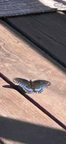
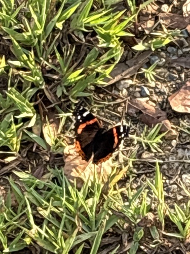
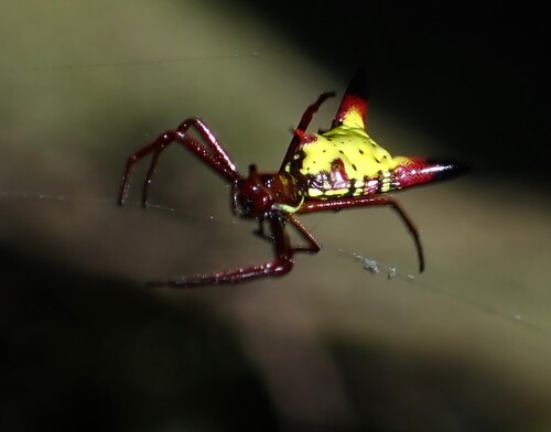
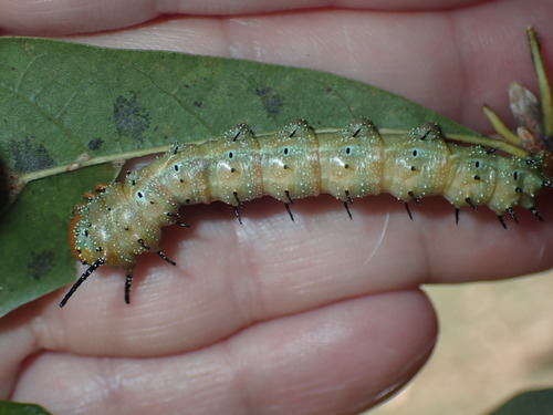
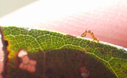
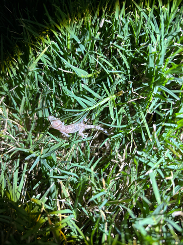
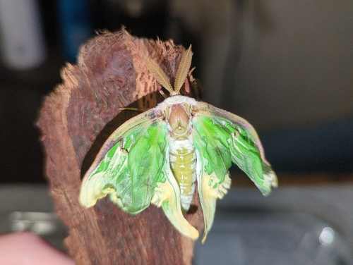
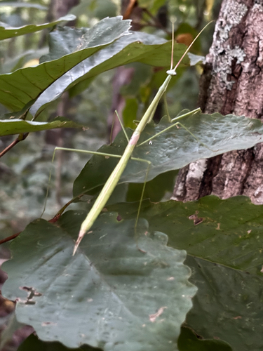
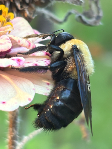
Research-grade observations from iNaturalist (within ~15 mi).
Nearest stream gauge
Live readings from USGS NWIS · measured 2026-09-27 15:30 UTC.
Events
Gallery
Sources
- • Wikipedia
- • US Census Bureau (ACS 5-year estimates)
- • NOAA National Weather Service
- • Wikidata
- • USGS Earthquake Catalog (global feed)
- • USGS NWIS (water data)
- • GBIF (Global Biodiversity Information Facility)
- • iNaturalist
- • CDC PLACES
- • Open-Meteo / sunrise-sunset.org
- • Wikipedia Pageviews API
- • Open Library
- • NASA EONET
- • Wikidata SPARQL (CC0) — population, area, elevation, inception, head of government, Commons image