Browse / United States / Alabama / Red Bay
Red Bay
Alabamacity

Red Bay
Total population
3,201
Median home value
$108,200
Bachelor's+
Median income
$37,473
Founded
1907
Demographic figures from US Census Bureau · ACS 5-year estimates. Overview below cites Wikipedia and may reference a different year.
City facts
Facts from Wikidata (CC0).
Overview
Red Bay is a city in Franklin County, Alabama, United States. It was founded in 1907; its western boundary line is integral with the state line between Mississippi and Alabama. The population was 3,232 at the 2020 census.
Read more on WikipediaHistory & geography
History
What is now Red Bay was originally known as "Vinson's Crossroads," and was initially located further to the southwest along Gum Creek. A branch of the Illinois Central Railroad was constructed through the area in 1907, and Red Bay developed into an important lumber and shipping center. The city incorporated during this same period. One of the city's most well known and admired features are the redbay trees. The trees, planted by the Red Bay Garden Club in the 1930s, cast a canopy over Main Street. The first school in Red Bay was located where the First United Methodist Church stands today. In 1903, this school had one faculty member who was responsible for teaching, as well as most of the custodial duties. After crops were harvested, students attended school through the remainder of the fall and winter months until the spring planting season. The second school was constructed in the early 1900s. It was located on the site that is now the location of the Red Bay City Park. It was a small building with few amenities. The school continued dismissals timed with the local harvests. In 1927, a new school site was selected, and a new school built for $45,000. Since this construction, the location of the school has not changed. The building constructed in 1927 was a brick "U", one of the most popular school designs in Alabama at the time. Facing the school, the right wing of the "U" housed the elementary classes while the left wing held the high school. Once inside the school, after going under the stone entryway, the office of the principal was on your immediate left. A small room on the right served as the library. A large auditorium with double wooden seats that could be folded and stored was centrally located between the two wings. The building housing the home…
Geography
Red Bay is located in western Franklin County. The western border of the city is the Mississippi state line. It is situated on the Tennessee Valley Divide, with the northern half of the city draining north to Bear Creek, a tributary of the Tennessee River, and the southern half draining south to Gum Creek, a tributary of the Tombigbee River. Alabama State Route 24 is a four-lane highway that passes south of the city center, leading east to Russellville and west to the Mississippi line. Tremont, Mississippi, is to the southwest. According to the U.S. Census Bureau, the city has a total area of , of which is land and , or 1.01%, is water. Climate is characterized by relatively high temperatures and evenly distributed precipitation throughout the year. The Köppen Climate Classification subtype for this climate is "Cfa" (Humid Subtropical Climate).
Excerpted from the corresponding Wikipedia article (CC BY-SA).
Demographics & economy
Race & ethnicity
Source: US Census Bureau — American Community Survey, 5-year estimates.
Geography
Coordinates & boundaries from the US Census TIGER/Line shapefiles.
Climate
Current forecast
Forecast for Red Bay, AL from NOAA NWS API.
Air quality
Industrial & pollution facilities
Natural hazard risk
Health (adults)
Age-adjusted prevalence estimates from CDC PLACES (latest release).
Walkability
Amenities nearby
Wildlife & biodiversity
Most-observed species
- American CrowCorvus brachyrhynchos C.L.Brehm, 1822 · Aves1,417
- Northern CardinalCardinalis cardinalis (Linnaeus, 1758) · Aves1,078
- Blue JayCyanocitta cristata (Linnaeus, 1758) · Aves907
- Northern MockingbirdMimus polyglottos (Linnaeus, 1758) · Aves733
- Tufted TitmouseBaeolophus bicolor (Linnaeus, 1766) · Aves688
- Turkey VultureCathartes aura (Linnaeus, 1758) · Aves675
- Carolina WrenThryothorus ludovicianus (Latham, 1790) · Aves672
- Red-bellied WoodpeckerMelanerpes carolinus (Linnaeus, 1758) · Aves655
Citizen-science & research observations from the Global Biodiversity Information Facility (GBIF).
Schools
Largest nearby schools
- Red Bay ElementaryElementary · Red Bay · 421 students · 15:1 ratio
- Red Bay High SchoolHigh · Red Bay · 351 students · 16.7:1 ratio
- Vina High SchoolOther · Vina · 270 students · 12.9:1 ratio
Public K–12 schools within ~10 mi from Urban Institute Education Data Portal (NCES Common Core of Data, 2022).
Earthquake history
Most recent
- M 2.52 — 2022-12-245 km ENE of Booneville, Mississippi
- M 2.55 — 2020-10-151 km W of Belk, Alabama
- M 2.87 — 2020-06-254 km NNW of Berry, Alabama
- M 2.53 — 2020-02-0813 km S of Moulton, Alabama
- M 2.79 — 2018-07-060 km WSW of Muscle Shoals, Alabama
- M 2.69 — 2017-03-116 km SW of Trinity, Alabama
Events from the USGS Earthquake Catalog (global) (FDSN Event Web Service).
Photos
Sights & places nearby
Notable people from here
Nearby places in Alabama
- Bear Creek27.2 mi away
- Haleyville32.7 mi away
- Sheffield33.4 mi away
- Waterloo33.5 mi away
- Muscle Shoals35.6 mi away · pop. 16,275
- Glen Allen44.1 mi away · pop. 433
- Courtland48.8 mi away · pop. 583
- Belk55.5 mi away
- Falkville70.1 mi away · pop. 1,197
- Good Hope75.9 mi away · pop. 2,483
- Smoke Rise84.3 mi away · pop. 1,661
- Redstone Arsenal85.7 mi away
Geography & sun
Elevation, sunrise/sunset and daylight from Open-Meteo. Solar climatology from NASA POWER.
Nearby airports
Public attention
Pageview totals from the Wikimedia Pageviews API.
Books about Red Bay
Search results from Open Library.
Recent natural events nearby
- Wildfire RAY COAKER, Washington, AlabamaWildfires · 2026-09-09 · 212 mi
Wildfires, storms and other events from NASA EONET (last 12 months, within 250 mi).
Ground air-quality sensors
Recently spotted species
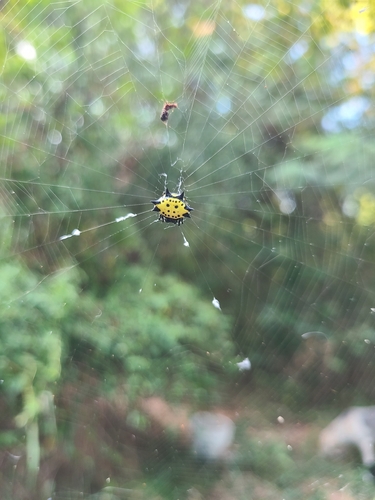
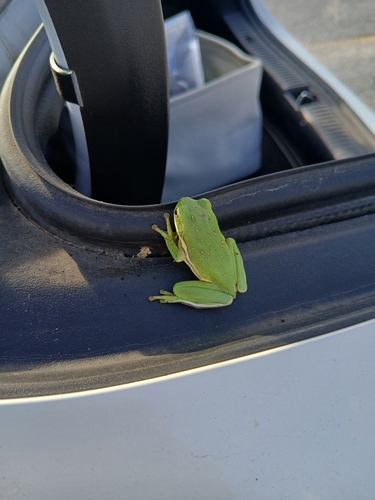
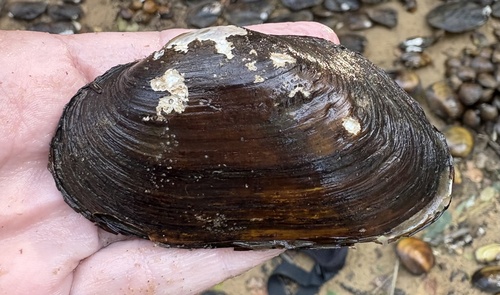
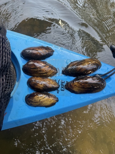
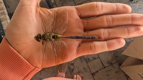
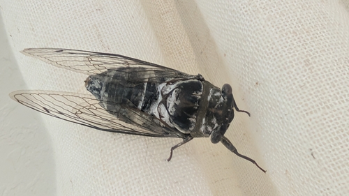
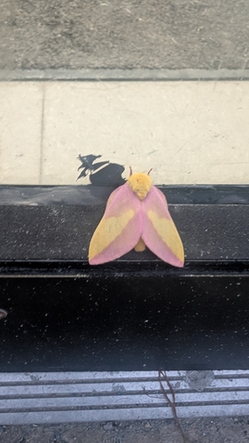
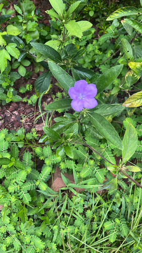
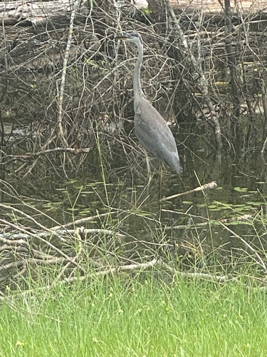
Research-grade observations from iNaturalist (within ~15 mi).
Nearest stream gauge
Events
Gallery
Sources
- • Wikipedia
- • US Census Bureau (ACS 5-year estimates)
- • NOAA National Weather Service
- • Wikidata
- • USGS Earthquake Catalog (global feed)
- • NCES via Urban Institute Education Data Portal
- • GBIF (Global Biodiversity Information Facility)
- • iNaturalist
- • CDC PLACES
- • Open-Meteo / sunrise-sunset.org
- • Wikipedia Pageviews API
- • Open Library
- • NASA EONET
- • Wikidata SPARQL (CC0) — population, area, elevation, inception, head of government, Commons image