Browse / Armenia / Armenia / Hrazdan
Hrazdan
Armeniatown

Hrazdan
Total population
39,957
Demographic figures from Statistical Committee of Armenia. Overview below cites Wikipedia and may reference a different year.
City facts
Facts from Wikidata (CC0).
Overview
Hrazdan is a town and urban municipal community in Armenia serving as the administrative centre of Kotayk Province, located 45 kilometres northeast of the capital Yerevan. As of the 2011 census, the population of the town is 44,231.
Read more on WikipediaHistory & geography
History
Historically, the territory of Hrazdan is associated with the historic Kotayk canton of the Ayrarat province of Ancient Armenia. According to Ptolemy, Kotayk was directly ruled by the Arsacid kings of Armenia during the first and second centuries AD. Between the fifth and seventh centuries, the region was granted to the Kamsarakan and Amatuni families, under the Persian rule. Between the seventh and ninth centuries, Armenia was under an Arab Islamic occupation. By the end of the 9th century, the region became part of the newly established Bagratid Kingdom of Armenia. Between the 11th and 15th centuries, the region was occupied by the Seljuk, Mongol, Ag Qoyunlu and Kara Koyunlu governments, respectively. At the beginning of the 16th century, the territory became part of the Erivan Beglarbegi within the Safavid Persia. During the first half of the 18th century, the territory became part of the Erivan Khanate under the rule of the Afsharid dynasty and later under the Qajar dynasty of Persia. It remained under Persian rule until 1827 or 1828, when Eastern Armenia was ceded to the Russian Empire as a result of the Russo-Persian War of 1826–28 and the signing of the Treaty of Turkmenchay. With the fall of the Russian Empire and as a result of the Armenian victory over the Turks in the battles of Sardarabad, Abaran, and Gharakilisa, the region became part of the independent Armenia in May 1918. After two years of independence, Armenia became part of the Soviet Union in December 1920. Hrazdan is among the towns that were founded and developed during the Soviet rule. The former village of Akhta (or Nerkin Akhta), which covered the southern parts of present-day Hrazdan, was the centre of the Akhta raion, an administrative territory of the Armenian SSR formed in 1930. In…
Geography
The town of Hrazdan is located in the northeastern part of Armenia, within the Kotayk Province. It is bordered by the Pambak mountain range from the north and the Tsaghkunyats Mountains from the southwest. The borders of the town extend east across the Geghama mountains, reaching up to the top of Mount Gutanasar. While passing through the town, the Hrazdan River reaches its tributaries, the Marmarik and Aghveran rivers. Hrazdan has an average elevation of 1,675 meters above sea level. The town has a warm-summer humid continental climate (Köppen climate classification Dfb).The average temperature is 6 °C (ranging from -7 °C in January to 18.1 °C in August). The annual precipitation is around 700 mm.
Excerpted from the corresponding Wikipedia article (CC BY-SA).
Geography
Coordinates & boundaries from the US Census TIGER/Line shapefiles.
Climate
Air quality
Walkability
Amenities nearby
Wildlife & biodiversity
Earthquake history
Photos
Sights & places nearby
Notable people from here


People born within ~10 km, from Wikidata (CC0). Click any name for their Wikipedia article.
Geography & sun
Elevation, sunrise/sunset and daylight from Open-Meteo. Solar climatology from NASA POWER.
Nearby airports
Public attention
Pageview totals from the Wikimedia Pageviews API.
Books about Hrazdan


Search results from Open Library.
Recent natural events nearby
Ground air-quality sensors
Recently spotted species
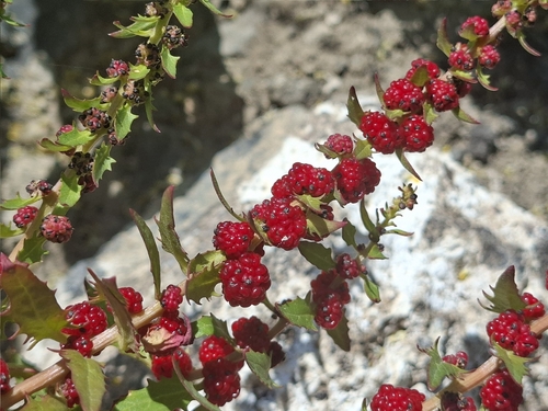
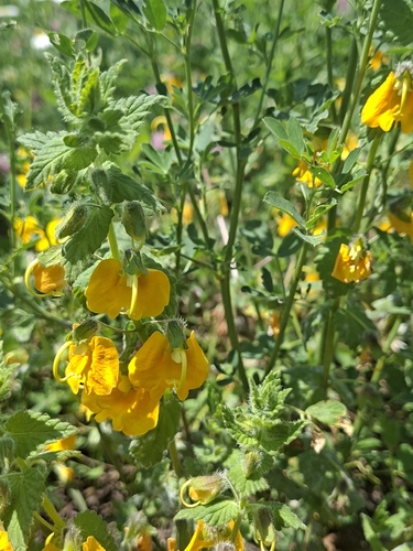
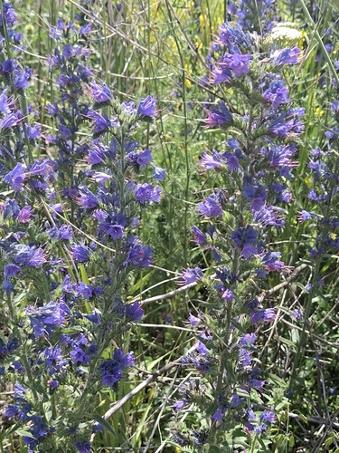
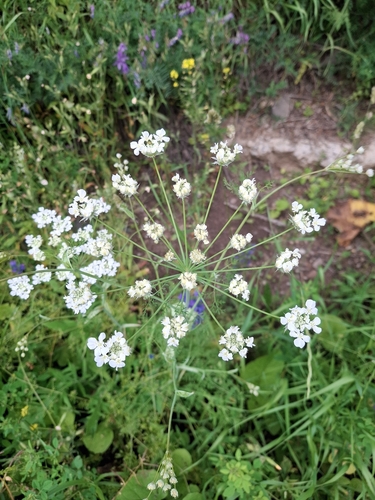
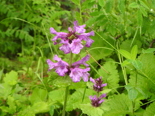
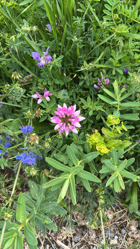
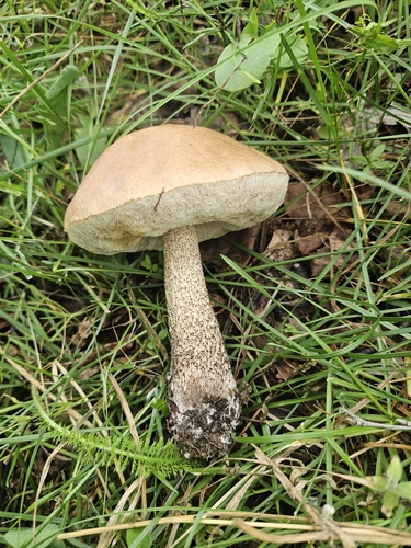
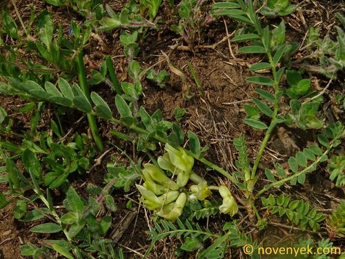
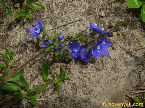
Research-grade observations from iNaturalist (within ~15 mi).
Events
Gallery
Sources
- • Wikipedia
- • Wikidata
- • iNaturalist
- • Open-Meteo / sunrise-sunset.org
- • Wikipedia Pageviews API
- • Open Library