Browse / Angola / Huambo / Huambo
Huambo
Huambocity

Huambo
Founded
1912
Demographic figures from Instituto Nacional de Estatística (Angola). Overview below cites Wikipedia and may reference a different year.
City facts
Facts from Wikidata (CC0).
Overview
Huambo, formerly Nova Lisboa, is the third-most populous city in Angola, after the capital city Luanda and Lubango, with a population of 710,000 (2024) in the city and a population of 836,293 in the municipality of Huambo. The city is the capital of the province of Huambo and is located about 220 km E from Benguela and 600 km SE from Luanda. Huambo is a main hub on the Caminho de Ferro de Benguela (CFB), which runs from the port of Lobito to the Democratic Republic of the Congo's southernmost province, Katanga. Huambo is served by the Albano Machado Airport.
Read more on WikipediaHistory & geography
History
Huambo receives its name from Wambu, one of the 14 old Ovimbundu kingdoms of the central Angolan plateau. The Ovimbundu, an ethnic group that originally arrived from Eastern Africa, had founded their central kingdom of Bailundu as early as the 15th century. Wambu was one of the smaller kingdoms and was hierarchically under the king of Bailundu, though it enjoyed a considerable degree of independence. Whereas Bailundo is mentioned in some 18th and 19th-century chronicles in connection to a trading route linking it with Viye (Bie), Wambu was only really known with the advent of the construction of the Benguela Railway by the Portuguese. Though the kings of Bailundu and Wambu (particularly Ekuikui II and Katiavala I) opposed the penetration of the railway by ambushing workers and settlers, they were eventually subdued by the Portuguese Army and Huambo was officially founded on 8 August 1912 by the Governor-General of Angola Norton de Matos. The origin of Huambo and the economic importance it reached under Portuguese administration is very closely linked to the construction of the Caminho de Ferro de Benguela (Benguela Railway), which had started in the coastal town of Lobito in 1902. This railroad had been devised by the British entrepreneur Sir Robert Williams as the easiest and cheapest way to link the rich copper mines of Katanga, in Belgian Congo, with a point on the coast from which the mineral could be exported. The Lobito bay was admittedly the best natural seaport in the whole continent. The construction of the railway initially advanced with great difficulty, due to the ruggedness of the terrain, the prevalence of malaria and, to some extent, the resistance of the natives. Huambo was found to be a strategic place for many reasons. A benign climate (greatly due…
Geography
Situated in the Angolan central highlands, Huambo is located near the headwaters of the Cunene River. The elevation of Huambo is as it is on a high plateau. Huambo features a subtropical highland climate (Köppen: Cwb), with wet summers from October through April and dry winters between May and September. Despite its location in the tropics, due to its high altitude, Huambo features mild, spring-like temperatures throughout the course of the year, a characteristic common among cities with this climate. September is the warmest month with a mean of , and June is the coolest month with a mean of The city sees plentiful precipitation during the course of the year, averaging nearly of rain, although because of the dry season May to September receives significantly less precipitation, with June and July receiving no rain at all. Due to the higher altitude, temperatures in Huambo are only slightly higher than in the city of Pretoria located almost 2000 km further south-east. There is more sunshine in the winter (particularly June and July) than the summer, and Huambo receives 2273 hours of sunshine in total.
Excerpted from the corresponding Wikipedia article (CC BY-SA).
Geography
Coordinates & boundaries from the US Census TIGER/Line shapefiles.
Climate
Air quality
Walkability
Amenities nearby
Wildlife & biodiversity
Most-observed species
- Southern CordonbleuUraeginthus angolensis (Linnaeus, 1758) · Aves19
- Pied CrowCorvus albus Statius Muller, 1776 · Aves17
- Common BulbulPycnonotus barbatus (Desfontaines, 1789) · Aves14
- Yellow BishopEuplectes capensis (Linnaeus, 1766) · Aves11
- White-browed CoucalCentropus superciliosus Hemprich & Ehrenberg, 1829 · Aves11
- Variable SunbirdCinnyris venustus (Shaw, 1799) · Aves11
- African Paradise-FlycatcherTerpsiphone viridis (Statius Muller, 1776) · Aves9
- Tawny-flanked PriniaPrinia subflava (Gmelin, 1789) · Aves9
Citizen-science & research observations from the Global Biodiversity Information Facility (GBIF).
Earthquake history
Events from the USGS Earthquake Catalog (global) (FDSN Event Web Service).
Photos
Sights & places nearby
Notable people from here


People born within ~10 km, from Wikidata (CC0). Click any name for their Wikipedia article.
Nearby places in Huambo
Geography & sun
Elevation, sunrise/sunset and daylight from Open-Meteo. Solar climatology from NASA POWER.
Nearby airports
Public attention
Pageview totals from the Wikimedia Pageviews API.
Books about Huambo
Search results from Open Library.
Recent natural events nearby
Ground air-quality sensors
Recently spotted species
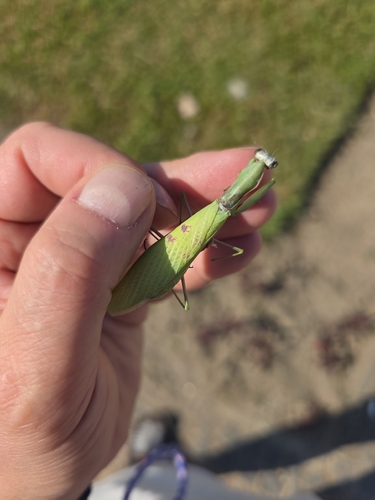
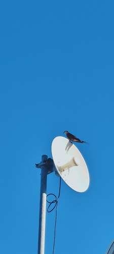
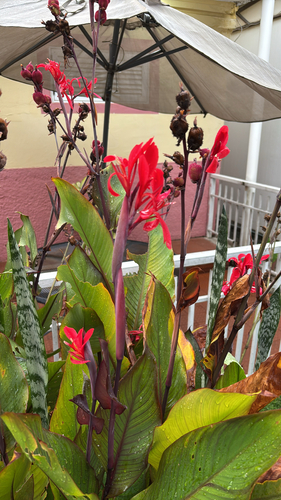
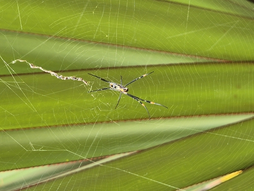
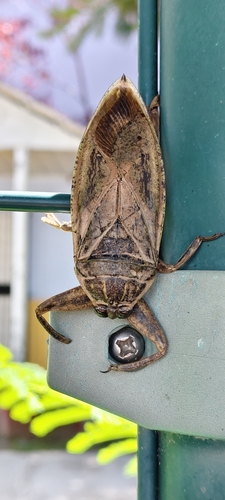
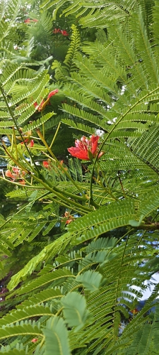
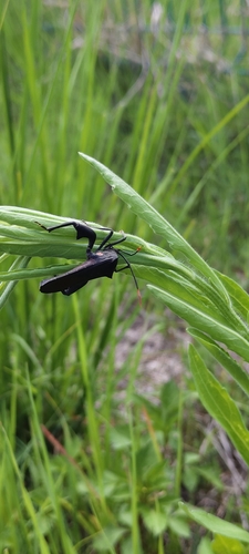
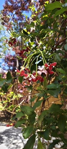
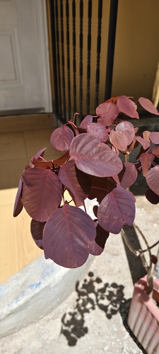
Research-grade observations from iNaturalist (within ~15 mi).
Events
Gallery
Geotagged photos within ~6 miles of Huambo, from Wikimedia Commons contributors.
 0 mi
0 mi 0.1 mi
.jpg) 0.1 mi
0.1 mi.jpg) 0.1 mi
0.1 mi 0.2 mi
.jpg) 0.2 mi
0.2 mi 0.3 mi
 0.3 mi
 0.3 mi
 0.5 mi
 0.6 mi
 0.7 mi
 0.7 mi
 0.7 mi
 0.7 mi
 0.7 mi
 0.7 mi
 0.7 mi
 0.7 mi
 0.7 mi
 0.7 mi
 0.7 mi
 0.7 mi
 0.7 mi
Photos via Wikimedia Commons — see each image page for license & attribution.
Sources
- • Wikipedia
- • Wikimedia Commons
- • Wikidata
- • USGS Earthquake Catalog (global feed)
- • GBIF (Global Biodiversity Information Facility)
- • iNaturalist
- • Open-Meteo / sunrise-sunset.org
- • Wikipedia Pageviews API
- • Open Library