Browse / Angola / Benguela / Lobito
Lobito
Benguelacity

Lobito
Total population
805,000
Founded
1843
Air quality index
Demographic figures from Instituto Nacional de Estatística (Angola). Overview below cites Wikipedia and may reference a different year.
City facts
Facts from Wikidata (CC0).
Overview
Lobito is a municipality in Angola. It is located in Benguela Province, on the Atlantic Coast north of the Catumbela Estuary. The Lobito municipality had a population of 393,079 in 2014.
Read more on WikipediaHistory & geography
History
The city was founded in 1843 and owes its existence to the bay of the same name having been chosen as the sea terminus of the Benguela railway to the far interior, passing through Luau to Katanga in the Democratic Republic of the Congo. The city is located on the coast of the Atlantic Ocean. The population of the municipality is 393,079 (2014) in an area of 3,648 km2. The municipality consists of the communes Canjala, Egipto Praia and Lobito. Lobito, was built on a sandspit and reclaimed land, with one of Africa's finest natural harbours, protected by a 5 km long sandspit. The old municipality (concelho) was created in 1843 by the Portuguese administration. The town was also founded in 1843 by order of Maria II of Portugal, and its harbour works were begun in 1903. It wasn't until 1843 that Maria II of Portugal approved the foundation of the town, which had by then been known as Catumbela das Ostras (Catumbela of Oysters) Large developments, however, were not stimulated until the completion in 1928 of the important Benguela Railway, which connected Portuguese Angola with the Belgian Congo. Under Portuguese rule, the port was one of Angola's busiest, and the busiest of Africa, exporting agricultural produce from the interior and handling transit trade from the mines of southeastern Belgian Congo and of Northern Rhodesia. Fishing, tourism and services were also important. The carnival in Lobito was also one of the most renowned and popular in Portuguese Angola. After the 25 April 1974 Carnation Revolution in Lisbon, Angola was offered independence. Lobito's port activities were highly limited by disruptions to railway transit and high insecurity during the Angolan Civil War (1975–2002). With peace and stability, in the 2000s, Lobito started the process of…
Excerpted from the corresponding Wikipedia article (CC BY-SA).
Geography
Coordinates & boundaries from the US Census TIGER/Line shapefiles.
Climate
10-year averages from ERA5 reanalysis (Open-Meteo).
Air quality
Current readings from Open-Meteo Air Quality API (Copernicus CAMS European reanalysis).
Walkability
Amenities nearby
Wildlife & biodiversity
Most-observed species
- Gray/Purple HeronArdea cinerea Linnaeus, 1758 · Aves35
- Eurasian MoorhenGallinula chloropus (Linnaeus, 1758) · Aves31
- Great EgretArdea alba Linnaeus, 1758 · Aves29
- Cape TealAnas capensis J.F.Gmelin, 1789 · Aves28
- African DarterAnhinga rufa (Daudin, 1802) · Aves26
- Common SandpiperActitis hypoleucos (Linnaeus, 1758) · Aves23
- Long-tailed CormorantMicrocarbo africanus (Gmelin, 1789) · Aves23
- Laughing DoveSpilopelia senegalensis (Linnaeus, 1766) · Aves23
Citizen-science & research observations from the Global Biodiversity Information Facility (GBIF).
Earthquake history
Events from the USGS Earthquake Catalog (global) (FDSN Event Web Service).
Photos
Sights & places nearby
Notable people from here


People born within ~10 km, from Wikidata (CC0). Click any name for their Wikipedia article.
Nearby places in Benguela
Geography & sun
Elevation, sunrise/sunset and daylight from Open-Meteo. Solar climatology from NASA POWER.
Nearby airports
Public attention
Pageview totals from the Wikimedia Pageviews API.
Books about Lobito
Search results from Open Library.
Recent natural events nearby
Ground air-quality sensors
Recently spotted species
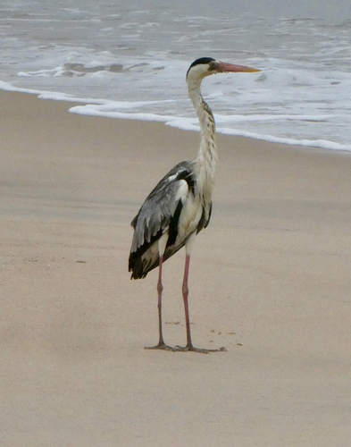
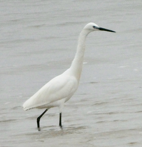
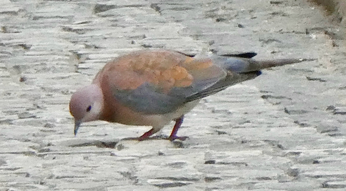
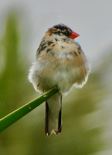
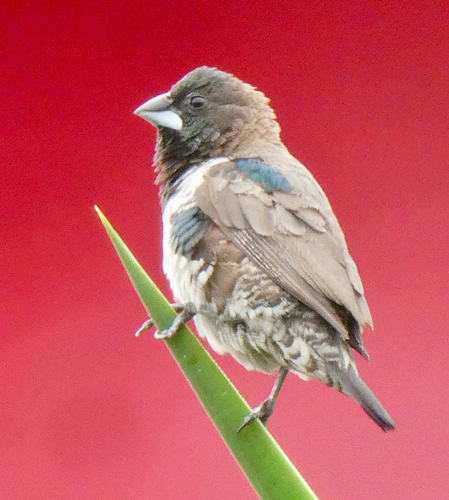
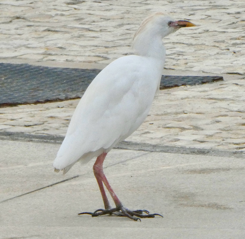
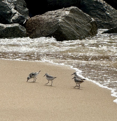
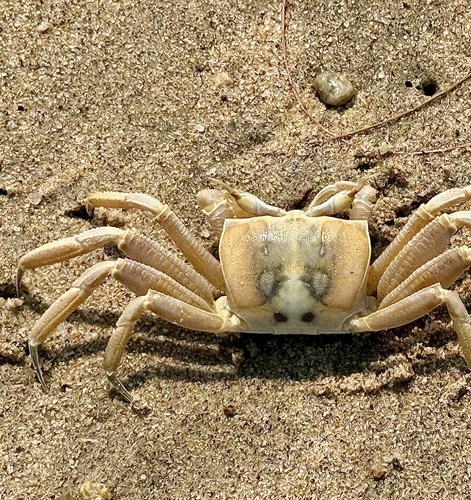
Research-grade observations from iNaturalist (within ~15 mi).
Events
Gallery
Geotagged photos within ~6 miles of Lobito, from Wikimedia Commons contributors.
.jpg) 0.5 mi
0.5 mi.jpg) 0.9 mi
0.9 mi 0.9 mi
.jpg) 0.9 mi
0.9 mi_(cropped).jpg) 0.9 mi
0.9 mi 1.2 mi
.jpg) 1.2 mi
1.2 mi.jpg) 2.5 mi
2.5 mi.jpg) 3.8 mi
3.8 mi_(cropped).jpg) 3.8 mi
3.8 mi 4.6 mi
 4.6 mi
 4.6 mi
 4.6 mi
 4.7 mi
 5 mi
5 mi 5 mi
5 mi 5 mi
5 mi 5 mi
5 mi 5 mi
5 mi 5 mi
5 mi 5 mi
5 mi 5 mi
5 mi 5.7 mi
Photos via Wikimedia Commons — see each image page for license & attribution.
Sources
- • Wikipedia
- • Open-Meteo (ERA5 reanalysis)
- • Wikimedia Commons
- • Wikidata
- • Open-Meteo Air Quality (CAMS)
- • USGS Earthquake Catalog (global feed)
- • GBIF (Global Biodiversity Information Facility)
- • iNaturalist
- • Open-Meteo / sunrise-sunset.org
- • Wikipedia Pageviews API
- • Open Library