Browse / Angola / Luanda / Luanda
Luanda
Luandacity

Luanda
Total population
5,172,900
Founded
1575
Demographic figures from Instituto Nacional de Estatística (Angola). Overview below cites Wikipedia and may reference a different year.
City facts
Facts from Wikidata (CC0).
Overview
Luanda is the capital and largest city of Angola. It is Angola's primary port, and its major industrial, cultural and urban centre. Located on Angola's northern Atlantic coast, Luanda is Angola's administrative centre, its chief seaport, and also the capital of the Luanda Province. Luanda and its metropolitan area is the most populous Portuguese-speaking national capital in the world and the most populous Lusophone city outside Brazil. In 2024 the population reached more than 8.8 million inhabitants.
Read more on WikipediaHistory & geography
History
Portuguese explorer Paulo Dias de Novais founded Luanda on 25 January 1576 as "São Paulo da Assumpção de Loanda". He had brought one hundred families of settlers and four hundred soldiers. Most of the Portuguese community lived within the fort. Several sources from as early as the 17th century called the city "St. Paul de Leonda". In 1618, the Portuguese built the fortress called Fortaleza São Pedro da Barra, and they subsequently built two more: Fortaleza de São Miguel (1634) and Forte de São Francisco do Penedo (1765–66). Of these, the Fortaleza de São Miguel is the best preserved. Luanda was Portugal's bridgehead from 1627, except during the Dutch rule of Luanda, from 1640 to 1648, as Fort Aardenburgh. The city served as the centre of slave trade to Brazil from to 1836. The slave trade was conducted mostly with the Portuguese colony of Brazil; Brazilian ships were the most numerous in the port of Luanda. This slave trade also involved local merchants and warriors who profited from the trade. During this period, no large scale territorial conquest was intended by the Portuguese; only a few minor settlements were established in the immediate hinterland of Luanda, some on the last stretch of the Kwanza River. In the 17th century, the Imbangala became the main rivals of the Mbundu in supplying slaves to the Luanda market. In the 1751, between 5,000 and 10,000 slaves were annually sold. By this time, Angola, a Portuguese colony, was in fact like a colony of Brazil, paradoxically another Portuguese colony. A strong degree of Brazilian influence was noted in Luanda until the independence of Brazil in 1822. In the 19th century, still under Portuguese rule, Luanda experienced a major economic revolution. The slave trade was abolished in 1836, and in 1844, Angola's ports…
Geography
Luanda is divided into two parts, the Baixa de Luanda (lower Luanda, the old city) and the Cidade Alta (upper city or the new part). The Baixa de Luanda is situated next to the port, and has narrow streets and old colonial buildings. However, new constructions have by now covered large areas beyond these traditional limits, and a number of previously independent nuclei — like Viana — were incorporated into the city. Until 2011, the former Luanda Province comprised five municipalities. In 2011 the province was enlarged by the addition of two additional municipalities transferred from Bengo Province, namely Icolo e Bengo, and Quiçama. Excluding these additions, the five municipalities composed Greater Luanda. Two new municipalities have been created within Greater Luanda since 2017: Talatona and Kilamba-Kiaxi. Since 2024, the Luanda Province has 17 municipalities and Luanda municipality has been dissolved. Icolo e Bengo became a separate province from Luanda. {| class="sortable wikitable" |- ! Name || Area in km2 || PopulationCensus2014 ||PopulationCensus2024 |- | Belas ||align="right"|614.3|| align="right" |309,229|| align="right" |381,861 |- |Cacuaco | align="right" |87.18 | align="right" |860,760 | align="right" |1,025,859 |- |Camama | align="right" |74.64 | align="right" |... | align="right" |667,094 |- |Cazenga | align="right" |33.13 | align="right" |582,786 | align="right" |823,025 |- |Hoji Ya Henda | align="right" |25.34 | align="right" |309,615 | align="right" |642,050 |- |Ingombota | align="right" |14.57 | align="right" |103,260 | align="right" |144,911 |- |Kilamba | align="right" |419.2 | align="right" |... | align="right" |493,593 |- |Quilamba Quiaxi | align="right" |51.52 | align="right" |841,411 | align="right" |1,120,781 |- |Maianga |…
Excerpted from the corresponding Wikipedia article (CC BY-SA).
Geography
Coordinates & boundaries from the US Census TIGER/Line shapefiles.
Climate
Air quality
Walkability
Amenities nearby
Wildlife & biodiversity
Most-observed species
- Pied CrowCorvus albus Statius Muller, 1776 · Aves95
- Red-backed MousebirdColius castanotus J.Verreaux & É.Verreaux, 1855 · Aves94
- House SparrowPasser domesticus (Linnaeus, 1758) · Aves89
- Cattle EgretBubulcus ibis (Linnaeus, 1758) · Aves86
- African Palm-SwiftCypsiurus parvus (M.H.K.Lichtenstein, 1823) · Aves74
- Little Egret/Western Reef-HeronEgretta garzetta (Linnaeus, 1766) · Aves74
- Common BulbulPycnonotus barbatus (Desfontaines, 1789) · Aves72
- Laughing DoveSpilopelia senegalensis (Linnaeus, 1766) · Aves65
Citizen-science & research observations from the Global Biodiversity Information Facility (GBIF).
Earthquake history
Events from the USGS Earthquake Catalog (global) (FDSN Event Web Service).
Photos
Sights & places nearby
Notable people from here


People born within ~10 km, from Wikidata (CC0). Click any name for their Wikipedia article.
Nearby places in Luanda
Geography & sun
Elevation, sunrise/sunset and daylight from Open-Meteo. Solar climatology from NASA POWER.
Nearby airports
Public attention
Pageview totals from the Wikimedia Pageviews API.
Books about Luanda
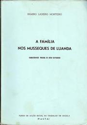
Search results from Open Library.
Recent natural events nearby
Ground air-quality sensors
Recently spotted species
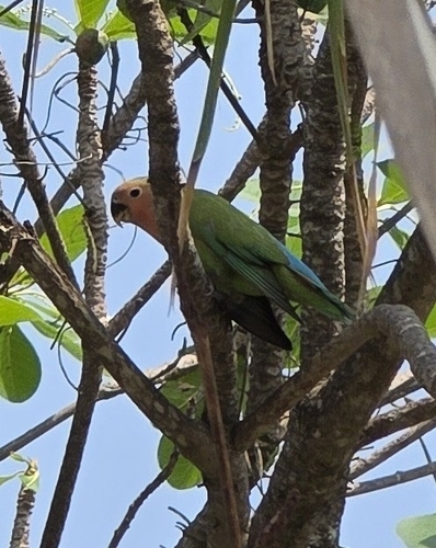
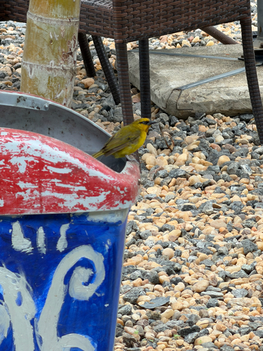
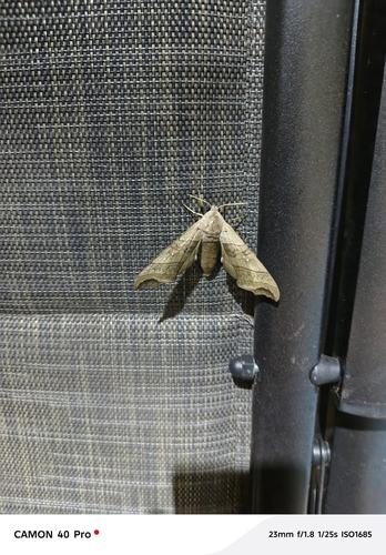
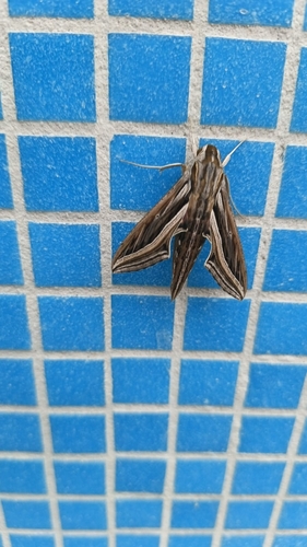
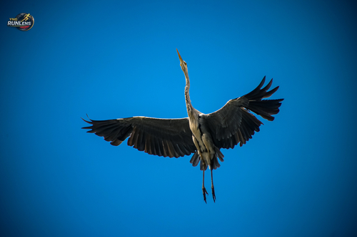
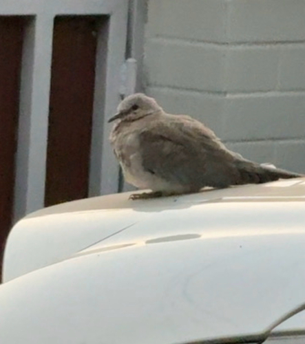
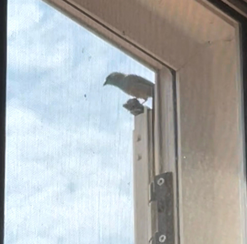
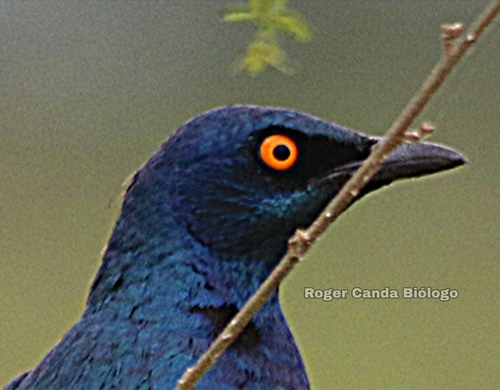
Research-grade observations from iNaturalist (within ~15 mi).
Events
Notable, recurring, and historical events associated with Luanda, sourced from Wikidata.
Source: Wikidata (CC0).
Gallery
Geotagged photos within ~6 miles of Luanda, from Wikimedia Commons contributors.
 0.1 mi
 0.1 mi
 0.4 mi
 0.4 mi
 0.4 mi
.jpg) 0.4 mi
0.4 mi 0.5 mi
 0.5 mi
_(viatorsuperum)_2022-06-25_12H30M18S000.jpg) 0.5 mi
0.5 mi_(viatorsuperum)_2022-06-25_12H30M20S000.jpg) 0.5 mi
0.5 mi_(viatorsuperum)_2022-06-25_12H30M22S000.jpg) 0.5 mi
0.5 mi_(viatorsuperum)_2022-06-25_12H30M37S000.jpg) 0.5 mi
0.5 mi_(viatorsuperum)_2022-06-25_12H30M35S000.jpg) 0.5 mi
0.5 mi_(viatorsuperum)_2022-06-25_12H30M39S000.jpg) 0.5 mi
0.5 mi_(viatorsuperum)_2022-06-25_12H30M41S000.jpg) 0.5 mi
0.5 mi_(viatorsuperum)_2022-06-25_12H30M43S000.jpg) 0.5 mi
0.5 mi_(viatorsuperum)_2024-01-10_06H13M23S000.jpg) 0.5 mi
0.5 mi_(viatorsuperum)_2024-01-10_06H13M22S000.jpg) 0.5 mi
0.5 mi_(viatorsuperum)_2024-01-10_06H13M24S000.jpg) 0.5 mi
0.5 mi_(viatorsuperum)_2024-01-10_06H13M25S000.jpg) 0.5 mi
0.5 mi_(viatorsuperum)_2024-01-10_06H13M26S000.jpg) 0.5 mi
0.5 mi_(viatorsuperum)_2024-01-10_06H13M27S000.jpg) 0.5 mi
0.5 mi_(viatorsuperum)_2024-01-10_06H13M28S000.jpg) 0.5 mi
0.5 mi_(viatorsuperum)_2024-01-10_06H13M29S000.jpg) 0.5 mi
0.5 miPhotos via Wikimedia Commons — see each image page for license & attribution.
Sources
- • Wikipedia
- • Wikimedia Commons
- • Wikidata
- • USGS Earthquake Catalog (global feed)
- • GBIF (Global Biodiversity Information Facility)
- • iNaturalist
- • Open-Meteo / sunrise-sunset.org
- • Wikipedia Pageviews API
- • Open Library