Browse / Angola / Lunda Norte / Xá-Muteba
Xá-Muteba
Lunda Nortetown
Demographic figures from Instituto Nacional de Estatística (Angola). Overview below cites Wikipedia and may reference a different year.
City facts
Overview
Xá-Muteba or Shah-Muteba is a town and municipality in Lunda Norte Province in Angola. The municipality had a population of 68,114 in 2014.
Read more on WikipediaHistory & geography
Geography
Coordinates & boundaries from the US Census TIGER/Line shapefiles.
Climate
10-year averages from ERA5 reanalysis (Open-Meteo).
Air quality
Walkability
Amenities nearby
Wildlife & biodiversity
Most-observed species
- Bennett's WoodpeckerCampethera bennettii (A.Smith, 1836) · Aves1
- Common SandpiperActitis hypoleucos (Linnaeus, 1758) · Aves1
- Broad-tailed Paradise-WhydahVidua obtusa (Chapin, 1922) · Aves1
- Bronze mannikinLonchura cucullata (Swainson, 1837) · Aves1
- Golden-backed BishopEuplectes aureus (Gmelin, 1789) · Aves1
- White-winged WidowbirdEuplectes albonotatus (Cassin, 1848) · Aves1
- Black-and-rufous SwallowHirundo nigrorufa Bocage, 1877 · Aves1
- Lesser Striped-SwallowCecropis abyssinica (Guerin-Meneville, 1843) · Aves1
Citizen-science & research observations from the Global Biodiversity Information Facility (GBIF).
Earthquake history
Events from the USGS Earthquake Catalog (global) (FDSN Event Web Service).
Photos
Sights & places nearby
Notable people from here
Nearby places in Lunda Norte
Geography & sun
Elevation, sunrise/sunset and daylight from Open-Meteo. Solar climatology from NASA POWER.
Nearby airports
Public attention
Pageview totals from the Wikimedia Pageviews API.
Books about this place
Recent natural events nearby
Ground air-quality sensors
Recently spotted species
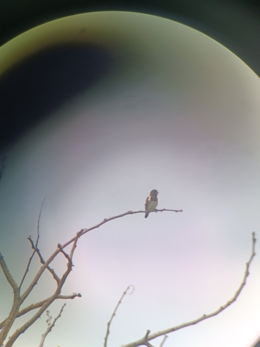
Research-grade observations from iNaturalist (within ~15 mi).
Events
Gallery
Sources
- • Wikipedia
- • Open-Meteo (ERA5 reanalysis)
- • Wikidata
- • USGS Earthquake Catalog (global feed)
- • GBIF (Global Biodiversity Information Facility)
- • iNaturalist
- • Open-Meteo / sunrise-sunset.org
- • Wikipedia Pageviews API