Browse / Argentina / La Pampa / Anguil
Anguil
La Pampavillage

Anguil
Total population
2,315
Demographic figures from INDEC. Overview below cites Wikipedia and may reference a different year.
City facts
Facts from Wikidata (CC0).
Overview
Anguil is a village and rural locality (municipality) in the Capital Department, in La Pampa Province in Argentina. It is located at the edge of National Route 5, approximately 26 km from the city of Santa Rosa.
Read more on WikipediaHistory & geography
History
The village of Anguil was officially established on December 2, 1906, by Eduardo and Alberto Castex, father and son respectively. They at first donated land for the public square, the City Hall, the Police Station, the Italian and Spanish societies, the Magistrates Court and the church. Also, with the founding of the railroad station, on loan from the Trenque Lauquen-Santa Rosa (Ferrocarril Oeste) branch, Eduardo Castex partitioned six leagues of his fields adjacent to the railway station and almost all the land located north and northwest of the same. To access these lands, Castex granted credit facilities that allowed the settlement of hundreds of families. In 2006 the town celebrated its centenary since it was founded by Eduardo and Alberto Castex. The legend inscribed on a medal of the time with that date, led to the establishment of December 2, 1906, as the founding day of the town that is located 35 miles east of Santa Rosa, in the Capital Department. Besides Santa Rosa, Anguil is the only urban center in the Capital Department. The Catriló-Toay railway branch passed through here, its inauguration took place in 1897, nine years before its founding. Like Lonquimay, Anguil was supplied with water using a tank that was located within the territory. In the case of Anguil, this continued for more than a decade after there were people in the area; urbanization occurred only in 1906.
Excerpted from the corresponding Wikipedia article (CC BY-SA).
Geography
Coordinates & boundaries from the US Census TIGER/Line shapefiles.
Climate
10-year averages from ERA5 reanalysis (Open-Meteo).
Air quality
Walkability
Amenities nearby
Wildlife & biodiversity
Most-observed species
- Southern LapwingVanellus chilensis (Molina, 1782) · Aves50
- Rufous HorneroFurnarius rufus (Gmelin, 1788) · Aves41
- Black-necked StiltHimantopus mexicanus (P.L.S.Müller, 1776) · Aves41
- Rufous-collared SparrowZonotrichia capensis (P.L.S.Müller, 1776) · Aves41
- Monk ParakeetMyiopsitta monachus (Boddaert, 1783) · Aves38
- Eared DoveZenaida auriculata (Des Murs, 1847) · Aves38
- Southern CaracaraCaracara plancus (J.F.Miller, 1777) · Aves37
- Spot-winged PigeonPatagioenas maculosa (Temminck, 1813) · Aves37
Citizen-science & research observations from the Global Biodiversity Information Facility (GBIF).
Earthquake history
Most recent
- M 4.5 — 2020-07-1719 km E of Quemú Quemú, Argentina
Events from the USGS Earthquake Catalog (global) (FDSN Event Web Service).
Photos
Sights & places nearby
Notable people from here

People born within ~10 km, from Wikidata (CC0). Click any name for their Wikipedia article.
Nearby places in La Pampa
- Uriburu8.3 mi away · pop. 1,341
- La Gloria14.8 mi away · pop. 46
- Santa Rosa17 mi away · pop. 116,083
- Lowo Che20.6 mi away
- Lonquimay21.8 mi away · pop. 1,954
- Mauricio Mayer21.9 mi away · pop. 437
- Winifreda24.2 mi away · pop. 2,675
- Colonia Barón27.2 mi away · pop. 2,756
- Miguel Riglos28.9 mi away · pop. 2,467
- Villa Mirasol31.9 mi away · pop. 587
- Catriló33.5 mi away · pop. 4,840
- Tomás Manuel Anchorena34.4 mi away · pop. 469
Geography & sun
Elevation, sunrise/sunset and daylight from Open-Meteo. Solar climatology from NASA POWER.
Nearby airports
Public attention
Pageview totals from the Wikimedia Pageviews API.
Books about Anguil
Search results from Open Library.
Recent natural events nearby
Ground air-quality sensors
Recently spotted species
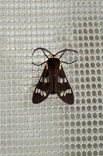
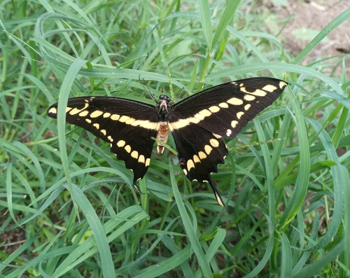
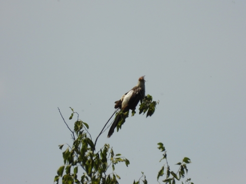
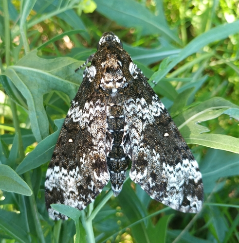
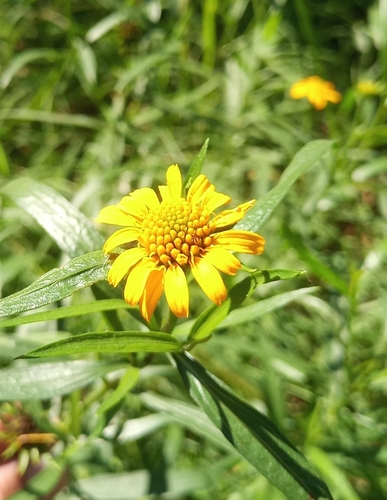
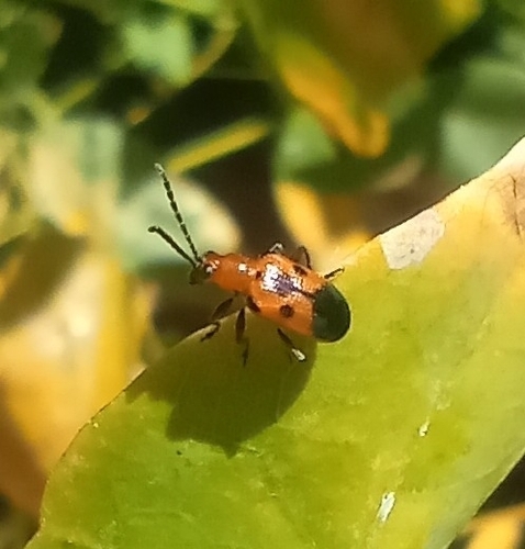
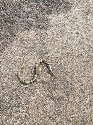
Research-grade observations from iNaturalist (within ~15 mi).
Events
Gallery
Geotagged photos within ~6 miles of Anguil, from Wikimedia Commons contributors.

Photos via Wikimedia Commons — see each image page for license & attribution.
Sources
- • Wikipedia
- • Open-Meteo (ERA5 reanalysis)
- • Wikimedia Commons
- • Wikidata
- • USGS Earthquake Catalog (global feed)
- • GBIF (Global Biodiversity Information Facility)
- • iNaturalist
- • Open-Meteo / sunrise-sunset.org
- • Wikipedia Pageviews API
- • Open Library
- • Wikidata SPARQL (CC0) — population, area, elevation, inception, head of government, Commons image