Browse / Argentina / Buenos Aires City / Buenos Aires
Buenos Aires
Buenos Aires Citycity

Buenos Aires
Total population
3,121,707
Founded
1580
Air quality index
Demographic figures from INDEC. Overview below cites Wikipedia and may reference a different year.
City facts
Sister cities
Facts from Wikidata (CC0).
Overview
Buenos Aires, officially the Autonomous City of Buenos Aires, is the capital and largest city of Argentina. It is located on the southwest of the Río de la Plata. Buenos Aires is classified as an Alpha− global city, according to the GaWC 2024 ranking. The city proper has a population of 3.1 million and its urban area has a population of 16.7 million, making it the 21st most populous metropolitan area in the world.
Read more on WikipediaHistory & geography
History
In 1516, navigator and explorer Juan Díaz de Solís, navigating in the name of Spain, was the first European to reach the Río de la Plata. His expedition was cut short when he was killed during an attack by the native Charrúa tribe in what is now Uruguay. The city of Buenos Aires was first established as Ciudad de Nuestra Señora Santa María del Buen Ayre A second (and permanent) settlement was established on 11 June 1580 by Juan de Garay, who arrived by sailing down the Paraná River from Asunción (now the capital of Paraguay). He dubbed the settlement "Santísima Trinidad" and its port became "Puerto de Santa María de los Buenos Aires." with the foreign powers eventually desisting from their demands. During most of the 19th century, the political status of the city remained a sensitive subject. It was already the capital of Buenos Aires Province, and between 1853 and 1860 it was the capital of the seceded State of Buenos Aires. The issue was fought out more than once on the battlefield, until the matter was finally settled in 1880 when the city was federalized and became the seat of government, with its mayor appointed by the president. The Casa Rosada became the seat of the president. In addition to the wealth generated by customs duties and Argentine foreign trade in general, as well as the existence of fertile pampas, railroad development in the second half of the 19th century increased the economic power of Buenos Aires as raw materials flowed into its factories. In 1888, by Law 2089, the national government of Argentina expanded the City of Buenos Aires by annexing the towns of Belgrano, Flores, and parts of General San Martín Partido, such as today's Villa Devoto. A leading destination for immigrants from Europe, particularly Italy and Spain, from 1880 to 1930,…
Geography
The city of Buenos Aires lies in the pampa region, with the exception of some areas such as the Buenos Aires Ecological Reserve, the Boca Juniors' "sports city", Jorge Newbery Airport, the Puerto Madero neighborhood and the main port itself; these were all built on reclaimed land along the coasts of the Rio de la Plata (the world's widest river). The region was formerly crossed by different streams and lagoons, some of which were refilled, and others tubed. Among the most important streams are the Maldonado, Vega, Medrano, Cildañez, and White. In 1908, as floods were damaging the city's infrastructure, many streams were channeled and rectified; furthermore, starting in 1919, most streams were enclosed. Most notably, the Maldonado was tubed in 1954; it currently runs below Juan B. Justo Avenue. Buenos Aires has over 250 parks and green spaces, the largest concentration of which are on the city's eastern side in the neighborhoods of Puerto Madero, Recoleta, Palermo, and Belgrano. Some of the most important are: *Parque Tres de Febrero was designed by urbanist Jordán Czeslaw Wysocki and architect Julio Dormal. The park was inaugurated on 11 November 1875. The subsequent dramatic economic growth of Buenos Aires helped to lead to its transfer to the municipal domain in 1888, whereby French Argentine urbanist Carlos Thays was commissioned to expand and further beautify the park, between 1892 and 1912. Thays designed the Zoological Gardens, the Botanical Gardens, the adjoining Plaza Italia and the Rose Garden. *Botanical Gardens, designed by French architect and landscape designer Carlos Thays, the garden was inaugurated on 7 September 1898. Thays and his family lived in an English style mansion, located within the gardens, between 1892 and 1898, when he served as director…
Excerpted from the corresponding Wikipedia article (CC BY-SA).
Geography
Coordinates & boundaries from the US Census TIGER/Line shapefiles.
Climate
10-year averages from ERA5 reanalysis (Open-Meteo).
Air quality
Current readings from Open-Meteo Air Quality API (Copernicus CAMS European reanalysis).
Walkability
Amenities nearby
Wildlife & biodiversity
Most-observed species
- Picazuro PigeonPatagioenas picazuro (Temminck, 1813) · Aves24,979
- Great KiskadeePitangus sulphuratus (Linnaeus, 1766) · Aves24,569
- Rufous HorneroFurnarius rufus (Gmelin, 1788) · Aves24,441
- Rufous-bellied ThrushTurdus rufiventris Vieillot, 1818 · Aves24,416
- Monk ParakeetMyiopsitta monachus (Boddaert, 1783) · Aves21,942
- Eared DoveZenaida auriculata (Des Murs, 1847) · Aves21,894
- Rock PigeonColumba livia J.F.Gmelin, 1789 · Aves19,590
- Southern CaracaraCaracara plancus (J.F.Miller, 1777) · Aves19,306
Citizen-science & research observations from the Global Biodiversity Information Facility (GBIF).
Earthquake history
Most recent
- M 3 — 2018-11-3061 km S of Adrogué, Argentina
Events from the USGS Earthquake Catalog (global) (FDSN Event Web Service).
Photos
Sights & places nearby
Notable people from here


People born within ~10 km, from Wikidata (CC0). Click any name for their Wikipedia article.
Nearby places in Buenos Aires City
- Monte Olivo2726.3 mi away
- San Rafael2729.2 mi away
- La Paz2733.9 mi away
- Bolívar2734.7 mi away
- Piartal2734.7 mi away
- Los Andes2735.3 mi away
- Mariscal Sucre2735.3 mi away
- El Carmelo2735.8 mi away
- Fernández Salvador2736.2 mi away
- San Pedro de Huaca2737.6 mi away
- San Vicente de Pusir2738.3 mi away
- Cristóbal Colón2738.4 mi away
Geography & sun
Elevation, sunrise/sunset and daylight from Open-Meteo. Solar climatology from NASA POWER.
Nearby airports
Public attention
Pageview totals from the Wikimedia Pageviews API.
Books about Buenos Aires


Search results from Open Library.
Recent natural events nearby
Ground air-quality sensors
Recently spotted species
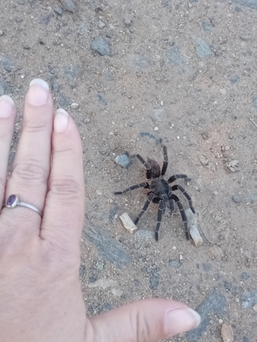
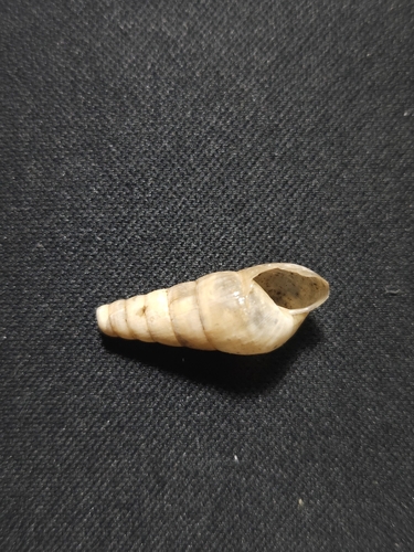
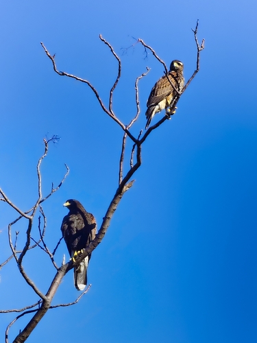
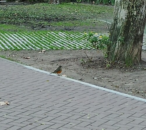
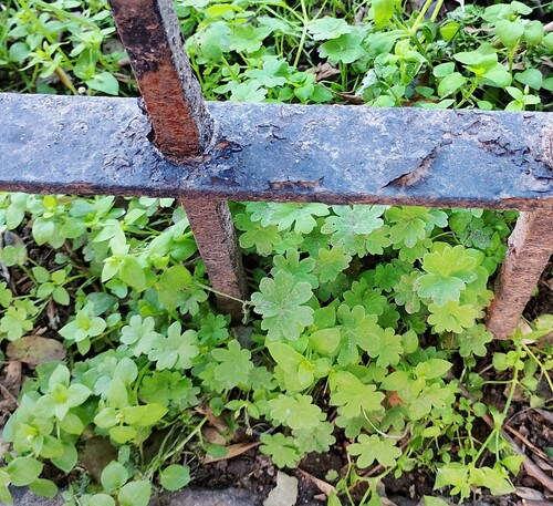
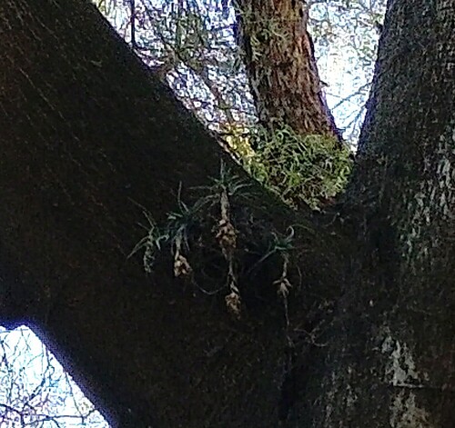
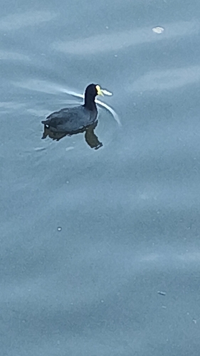
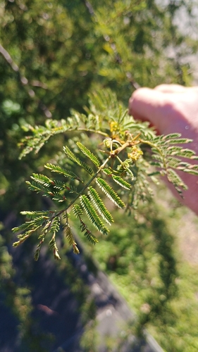
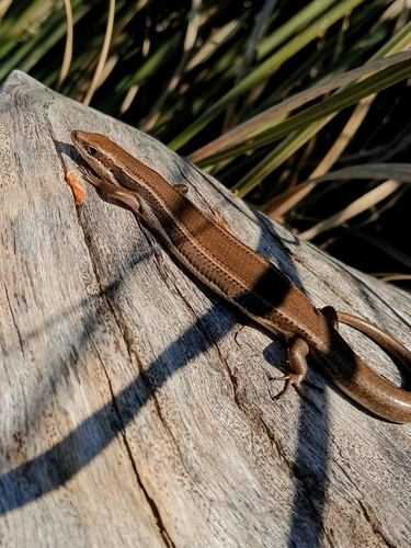
Research-grade observations from iNaturalist (within ~15 mi).
Events
Notable, recurring, and historical events associated with Buenos Aires, sourced from Wikidata.
- Q6363219Sep 14, 2012sporting event
- Q6352983Dec 15, 2009award ceremony
- Wikimania 2009Aug 26, 2009recurring event edition
- Athletics at the 1951 Pan American Games – Men's long jumpJan 1, 1951sporting event
international sporting event
- athletics at the 1951 Pan American Games – men's 5000 metresJan 1, 1951sporting event
international sporting event
- Athletics at the 1951 Pan American Games – Men's 400 metres hurdlesJan 1, 1951sporting event
international sporting event
- Athletics at the 1951 Pan American Games – Men's 800 metresJan 1, 1951sporting event
international sporting event
- Athletics at the 1951 Pan American Games – Men's 110 metres hurdlesJan 1, 1951sporting event
international sporting event
- Jan 1, 1951
- Athletics at the 1951 Pan American Games – Men's 3000 metres steeplechaseJan 1, 1951sporting event
international sporting event
- Jan 1, 1951
- Athletics at the 1951 Pan American Games – Men's 50 kilometres walkJan 1, 1951sporting event
international sporting event
- Athletics at the 1951 Pan American Games – Men's 1500 metresJan 1, 1951sporting event
international sporting event
- Athletics at the 1951 Pan American Games – Women's long jumpJan 1, 1951sporting event
international sporting event
- Athletics at the 1951 Pan American Games – Women's high jumpJan 1, 1951sporting event
international sporting event
- Athletics at the 1951 Pan American Games – Women's shot putJan 1, 1951sporting event
international sporting event
- Athletics at the 1951 Pan American Games – Men's decathlonJan 1, 1951sporting event
international sporting event
- Jan 1, 1951
- Athletics at the 1951 Pan American Games – Men's 10,000 metresJan 1, 1951sporting event
international sporting event
Source: Wikidata (CC0).
Gallery
Geotagged photos within ~6 miles of Buenos Aires, from Wikimedia Commons contributors.


.jpg)
.jpg)
.jpg)

.jpg)


.jpg)
.jpg)


.jpg)


Photos via Wikimedia Commons — see each image page for license & attribution.
Official Identifiers
INDEC — Argentine Institute of Statistics
- INDEC code
- Buenos-Aires-Argentina-4
- Population (Wikidata)
- 3,121,707
- Wikidata
- Q1486
Departamento ID via Wikidata P3417
Sources
- • Wikipedia
- • Open-Meteo (ERA5 reanalysis)
- • Wikimedia Commons
- • Wikidata
- • Open-Meteo Air Quality (CAMS)
- • USGS Earthquake Catalog (global feed)
- • GBIF (Global Biodiversity Information Facility)
- • iNaturalist
- • Open-Elevation
- • Open-Meteo / sunrise-sunset.org
- • Wikipedia Pageviews API
- • Open Library
- • Wikidata SPARQL (CC0) — population, area, elevation, inception, head of government, Commons image
- • INDEC — Argentine Institute of Statistics — Departamento ID via Wikidata P3417