Browse / United States / Arkansas / Fayetteville
Fayetteville
Arkansascity

Fayetteville
Total population
103,124
Median home value
$376,400
Bachelor's+
Median income
$66,237
Founded
1828
Air quality index
Demographic figures from US Census Bureau · ACS 5-year estimates. Overview below cites Wikipedia and may reference a different year.
City facts
Facts from Wikidata (CC0).
Overview
Fayetteville is a city in Washington County, Arkansas, United States, and its county seat. The population was 93,949 at the 2020 census, and was estimated at 106,623 in 2025, making it the second-most populous city in Arkansas and the most populous city in Northwest Arkansas. Fayetteville is on the outskirts of the Boston Mountains, within the Ozarks. It is included in the three-county Northwest Arkansas metropolitan area, with 546,725 residents in 2020.
Read more on WikipediaHistory & geography
History
Following the Louisiana Purchase, the first permanent settlers in what became Fayetteville were George McGarrah and his sons James, John, and William. Around 1828, they settled near Big Spring, close to the modern intersection of Spring and Willow Streets, in an area later known as the Masonic Addition at the base of Mount Sequoyah. That same year, Washington County was created from Lovely County, which had existed for only one year, and the settlement of Washington Courthouse was selected as the county seat. The Washington Courthouse was completed in 1829 and also housed the post office. Later in 1829, Postmaster General William T. Barry ordered the name changed to Fayetteville to avoid confusion with Washington in Hempstead County. Two commissioners responsible for locating the county seat were from Fayetteville, Tennessee, itself named after Fayetteville, North Carolina, which had been named in honor of General Lafayette for his role in the American Revolutionary War. James Leeper, a Revolutionary War veteran, was the second settler. His son Matthew Leeper later served as receiver of the federal Land Office, appointed by President Andrew Jackson. The Leeper family owned extensive land holdings south of Mount Sequoyah to the White River. Through marriage, the Leeper and Washington families became closely linked to David Walker, later Chief Justice of the Arkansas Supreme Court, who in 1832 built a double log cabin on what became Center Street. In 1835, President Jackson issued a patent for 160 acres forming the original settlement. On March 5, 1861, Washington County delegates, including three from Fayetteville, attended the Arkansas Secession Convention, electing Judge David Walker as chairman. The convention initially voted against secession on March 16. After…
Geography
Fayetteville is in the Boston Mountains, a subset of the Ozarks which runs through Northwest Arkansas, southern Missouri, and Eastern Oklahoma. The rocks of the Boston Mountains were formed when sandstones and shales were deposited on top of the Springfield Plateau during the Pennsylvanian Period. In the Fayetteville area, following uplift during the Ouachita orogeny, the sediments were eroded to expose the Mississippian limestone formations of the Springfield Plateau, while south of Fayetteville the remaining deeply eroded Pennsylvanian sediments form the steep Boston Mountains. Fayetteville is also the namesake of the Fayetteville Shale, a geological formation which has recently become an epicenter for natural gas extraction by hydraulic fracturing. According to the United States Census Bureau, the city has a total area of , of which is land and (2.59%) is water. The city is centrally located in Washington County, Arkansas, along Interstate 49/US Route 71, the only fully controlled access route through the area, which replaced the winding US 71 (now US 71B) in the 1990s. An interstate connection with Fort Smith to the south and Kansas City, Missouri, to the north has contributed to Fayetteville's growth. Fayetteville is bordered along the north by Springdale and Johnson. In places, this transition is seamlessly urban. Fayetteville is not bordered by towns to its south, instead opening up to scenic country along the Boston Mountains Scenic Loop. Past the rural communities of Greenland and West Fork is Devil's Den State Park. The area had a population of 463,205 at the 2010 census which increased to 546,725 by the 2020 census (an increase of 24.2 percent). Although the Metropolitan Statistical Area does not consist of the usual principal-city-with-suburbs…
Excerpted from the corresponding Wikipedia article (CC BY-SA).
Demographics & economy
Race & ethnicity
Source: US Census Bureau — American Community Survey, 5-year estimates.
Geography
Coordinates & boundaries from the US Census TIGER/Line shapefiles.
Climate
10-year averages from ERA5 reanalysis (Open-Meteo).
Current forecast
Forecast for Fayetteville, AR from NOAA NWS API.
Air quality
Current readings from Open-Meteo Air Quality API (Copernicus CAMS European reanalysis).
Industrial & pollution facilities
Natural hazard risk
Health (adults)
Age-adjusted prevalence estimates from CDC PLACES (latest release).
Walkability
Amenities nearby
Wildlife & biodiversity
Most-observed species
- Northern CardinalCardinalis cardinalis (Linnaeus, 1758) · Aves15,179
- Carolina ChickadeePoecile carolinensis (Audubon, 1834) · Aves12,200
- Carolina WrenThryothorus ludovicianus (Latham, 1790) · Aves10,963
- American CrowCorvus brachyrhynchos C.L.Brehm, 1822 · Aves10,865
- Tufted TitmouseBaeolophus bicolor (Linnaeus, 1766) · Aves10,314
- Blue JayCyanocitta cristata (Linnaeus, 1758) · Aves9,695
- Red-bellied WoodpeckerMelanerpes carolinus (Linnaeus, 1758) · Aves9,670
- American RobinTurdus migratorius Linnaeus, 1766 · Aves9,350
Citizen-science & research observations from the Global Biodiversity Information Facility (GBIF).
Schools
Largest nearby schools
- FAYETTEVILLE HIGH SCHOOL EASTHigh · FAYETTEVILLE · 2,685 students · 14.1:1 ratio
- HAR-BER HIGH SCHOOLHigh · SPRINGDALE · 2,274 students · 14:1 ratio
- SPRINGDALE HIGH SCHOOLHigh · SPRINGDALE · 2,158 students · 11.9:1 ratio
- SPRINGDALE SCHOOL OF INNOVATIONSOther · SPRINGDALE · 2,116 students · 12.1:1 ratio
- OWL CREEK SCHOOLElementary · FAYETTEVILLE · 1,024 students · 19.3:1 ratio
- CENTRAL JUNIOR HIGH SCHOOLOther · SPRINGDALE · 890 students · 15.3:1 ratio
- HELEN TYSON MIDDLE SCHOOLMiddle · SPRINGDALE · 786 students · 13.8:1 ratio
- HELLSTERN MIDDLE SCHOOLMiddle · SPRINGDALE · 781 students · 12.2:1 ratio
Public K–12 schools within ~10 mi from Urban Institute Education Data Portal (NCES Common Core of Data, 2022).
Earthquake history
Most recent
- M 2.7 — 2018-12-101 km ENE of Zeb, Oklahoma
- M 2.7 — 2016-04-03Arkansas-Oklahoma border region
- M 2.5 — 2011-08-1111 km WSW of Jasper, Arkansas
- M 2.6 — 2010-05-212 km SW of Centerton, Arkansas
- M 2.5 — 2010-04-293 km SW of Centerton, Arkansas
- M 3.1 — 2007-09-073 km W of Harrison, Arkansas
Events from the USGS Earthquake Catalog (global) (FDSN Event Web Service).
Photos
Sights & places nearby
Notable people from here


People born within ~10 km, from Wikidata (CC0). Click any name for their Wikipedia article.
Nearby places in Arkansas
Geography & sun
Elevation, sunrise/sunset and daylight from Open-Meteo. Solar climatology from NASA POWER.
Nearby airports
Public attention
Pageview totals from the Wikimedia Pageviews API.
Books about Fayetteville


Search results from Open Library.
Recent natural events nearby
- Wildfire WRIGHT, Hughes, OklahomaWildfires · 2026-08-29 · 124 mi
- Wildfire Snake Mountain, Pushmataha, OklahomaWildfires · 2026-08-14 · 124 mi
- Wildfire Alexander Trail Fire, Pushmataha, OklahomaWildfires · 2026-08-30 · 127 mi
- Wildfire Alexander Trail, Pushmataha, OklahomaWildfires · 2026-08-30 · 127 mi
- Wildfire BISON, Osage, OklahomaWildfires · 2026-08-21 · 133 mi
- Wildfire Buck Creek, Pushmataha, OklahomaWildfires · 2026-08-25 · 139 mi
- Wildfire B.B, Osage, OklahomaWildfires · 2026-08-06 · 140 mi
- Wildfire Tram Trail, Pushmataha, OklahomaWildfires · 2026-09-14 · 141 mi
Wildfires, storms and other events from NASA EONET (last 12 months, within 250 mi).
Ground air-quality sensors
Recently spotted species
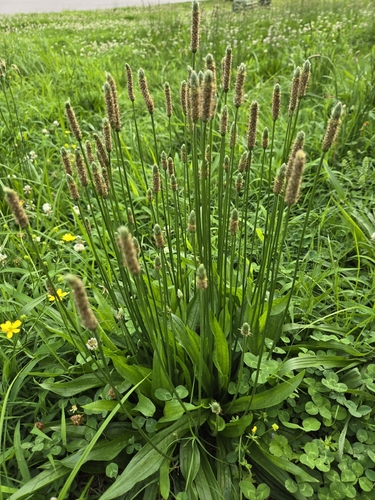
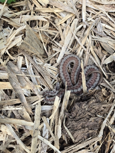
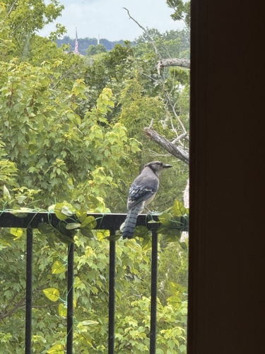
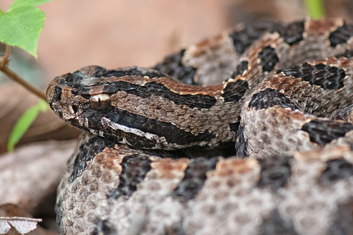
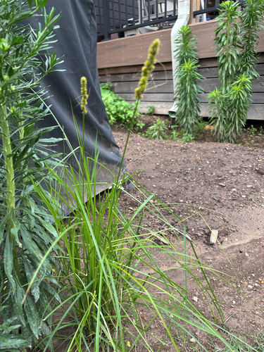
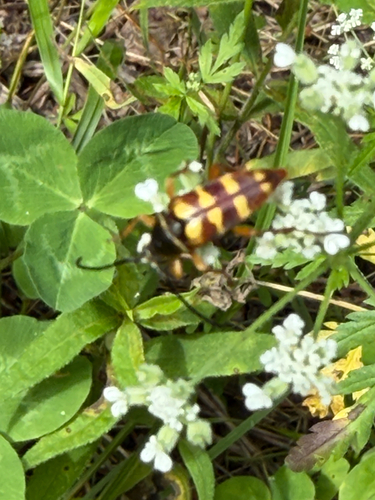
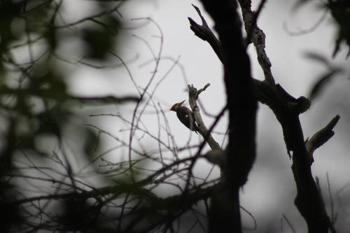
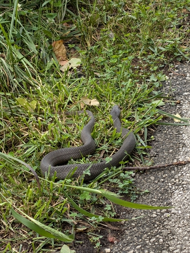
Research-grade observations from iNaturalist (within ~15 mi).
Nearest stream gauge
Live readings from USGS NWIS · measured 2026-10-17 01:15 UTC.
Events
Gallery
Geotagged photos within ~6 miles of Fayetteville, from Wikimedia Commons contributors.
 0.2 mi
 0.3 mi
 0.3 mi
 0.3 mi
 0.3 mi
 0.3 mi
 0.3 mi
 0.3 mi
 0.3 mi
 0.3 mi
 0.3 mi
 0.3 mi
 0.3 mi
 0.3 mi
.jpg) 0.3 mi
0.3 mi.jpg) 0.3 mi
0.3 mi.jpg) 0.3 mi
0.3 mi.jpg) 0.3 mi
0.3 mi.jpg) 0.3 mi
0.3 mi.jpg) 0.3 mi
0.3 mi.jpg) 0.3 mi
0.3 mi.jpg) 0.3 mi
0.3 mi 0.3 mi
 0.3 mi
Photos via Wikimedia Commons — see each image page for license & attribution.
Sources
- • Wikipedia
- • US Census Bureau (ACS 5-year estimates)
- • Open-Meteo (ERA5 reanalysis)
- • NOAA National Weather Service
- • Wikimedia Commons
- • Wikidata
- • Open-Meteo Air Quality (CAMS)
- • USGS Earthquake Catalog (global feed)
- • USGS NWIS (water data)
- • NCES via Urban Institute Education Data Portal
- • GBIF (Global Biodiversity Information Facility)
- • iNaturalist
- • CDC PLACES
- • Open-Meteo / sunrise-sunset.org
- • Wikipedia Pageviews API
- • Open Library
- • NASA EONET