Browse / United States / Arkansas / Fort Smith
Fort Smith
Arkansascity

Fort Smith
Total population
90,517
Median home value
$215,000
Bachelor's+
Median income
$60,306
Founded
1817
Demographic figures from US Census Bureau · ACS 5-year estimates. Overview below cites Wikipedia and may reference a different year.
City facts
Sister cities
Facts from Wikidata (CC0).
Overview
Fort Smith is the third-most populous city in Arkansas, United States, and one of the two county seats of Sebastian County. As of the 2020 census, the population was 89,142. It is the principal city of the Fort Smith, Arkansas–Oklahoma Metropolitan Statistical Area, a region of 298,592 residents that encompasses the Arkansas counties of Crawford, Franklin, and Sebastian, and the Oklahoma counties of LeFlore and Sequoyah.
Read more on WikipediaHistory & geography
History
No evidence indicates permanent indigenous settlements at the time of European contact in what became Fort Smith. In southern Fort Smith, a platform mound known as the Cavanaugh Mound exists in isolation and may have served as a vantage point from which the Spiro Mounds in present-day Oklahoma could be seen in earlier centuries. Hernando de Soto’s 1541 expedition into Arkansas may have reached as far west as the Fort Smith area. Place names such as Poteau, Belle Point, and Massard Prairie suggest later activity by French trappers who used the Arkansas River and its tributaries. The fertile Arkansas River Valley attracted early settlers, and Belle Point, a river bluff near the confluence of the Arkansas and Poteau rivers, provided a defensible location and broad visibility to the west. Parker worked closely with African-American deputy marshal Bass Reeves. The late nineteenth century saw rapid growth, aided by railroad expansion. In 1890, Sebastian County established a poor farm near the city, now marked by the Elmwood Poor Farm Cemetery. A tornado in 1898 killed more than fifty residents. Between 1907 and 1924, Fort Smith became one of the few U.S. cities to legalize and regulate prostitution in a designated district. In early 1988, Fort Smith hosted the Fort Smith sedition trial involving fourteen right-wing extremists charged primarily with seditious conspiracy and related crimes, including alleged plots to overthrow the U.S. government and assassinate a federal judge and an FBI agent. Prosecutors presented extensive evidence and testimony describing a nationwide network of white supremacist groups allegedly involved in robberies, bombings, and planned attacks on federal institutions. Despite the scope of the case and testimony from nearly 200 witnesses, the jury…
Geography
According to the United States Census Bureau, the city has a total area of , of which is land and (6.3%) is water. Fort Smith has a humid subtropical climate with generally mild winters and hot, humid summers. The monthly mean temperature ranges from in January to in July; on average, the high stays at or below freezing on 3.8 days, reaches on 77.8 days, and on 11.1 days annually. | date=October 2011 }}
Excerpted from the corresponding Wikipedia article (CC BY-SA).
Demographics & economy
Race & ethnicity
Source: US Census Bureau — American Community Survey, 5-year estimates.
Geography
Coordinates & boundaries from the US Census TIGER/Line shapefiles.
Climate
10-year averages from ERA5 reanalysis (Open-Meteo).
Current forecast
Forecast for Fort Smith, AR from NOAA NWS API.
Air quality
Industrial & pollution facilities
Natural hazard risk
Health (adults)
Age-adjusted prevalence estimates from CDC PLACES (latest release).
Walkability
Amenities nearby
Wildlife & biodiversity
Schools
Largest nearby schools
- NORTHSIDE HIGH SCHOOLHigh · FORT SMITH · 2,433 students · 12.2:1 ratio
- SOUTHSIDE HIGH SCHOOLHigh · FORT SMITH · 1,956 students · 10.6:1 ratio
- DORA KIMMONS JR. HIGH SCHOOLMiddle · FORT SMITH · 841 students · 15.3:1 ratio
- RAMSEY JUNIOR HIGH SCHOOLMiddle · FORT SMITH · 832 students · 13.6:1 ratio
- L. A. CHAFFIN JR. HIGH SCHOOLMiddle · FORT SMITH · 725 students · 13.9:1 ratio
- WILLIAM O. DARBY JR. HIGH SCH.Middle · FORT SMITH · 700 students · 14.9:1 ratio
- ELMER H. COOK ELEM. SCHOOLElementary · FORT SMITH · 500 students · 20:1 ratio
- JOHN P. WOODS ELEM. SCHOOLElementary · FORT SMITH · 487 students · 18.7:1 ratio
Public K–12 schools within ~10 mi from Urban Institute Education Data Portal (NCES Common Core of Data, 2022).
Earthquake history
Photos
Sights & places nearby
Notable people from here


People born within ~10 km, from Wikidata (CC0). Click any name for their Wikipedia article.
Geography & sun
Elevation, sunrise/sunset and daylight from Open-Meteo. Solar climatology from NASA POWER.
Nearby airports
Public attention
Pageview totals from the Wikimedia Pageviews API.
Books about Fort Smith


Search results from Open Library.
Recent natural events nearby
- LO GAP Wildfire, Van Buren, ArkansasWildfires · 2026-04-17 · 99 mi
- RX Blanchard 1 Prescribed Fire, Stone, ArkansasWildfires · 2026-04-24 · 130 mi
- Rx Upshur 3999 Prescribed Fire, Upshur, TexasWildfires · 2026-05-11 · 183 mi
- RX WINN BU 24 Prescribed Fire, Winn, LouisianaWildfires · 2026-05-19 · 244 mi
Wildfires, storms and other events from NASA EONET (last 12 months, within 250 mi).
Ground air-quality sensors
Recently spotted species
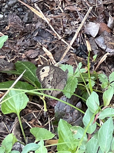
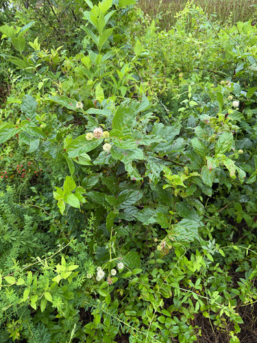
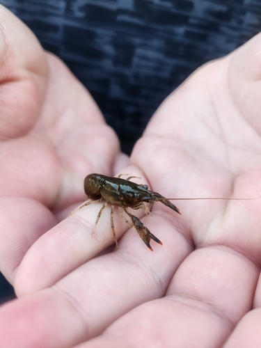
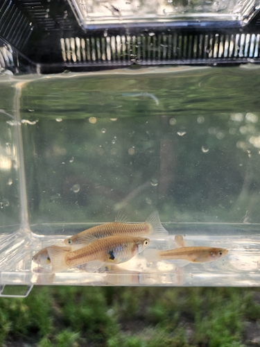
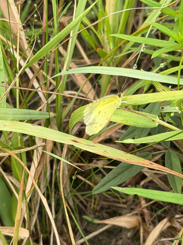
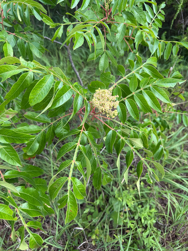
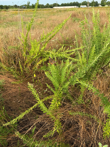
Research-grade observations from iNaturalist (within ~15 mi).
Nearest stream gauge
Events
Gallery
Geotagged photos within ~6 miles of Fort Smith, from Wikimedia Commons contributors.
 0.9 mi
 0.9 mi
 1.6 mi
 1.7 mi
 1.7 mi
 1.7 mi
 1.7 mi
.JPG) 1.7 mi
1.7 mi 1.7 mi
 1.8 mi
 2.1 mi
 2.1 mi
 2.1 mi
 2.1 mi
 2.1 mi
 2.1 mi
 2.1 mi
 2.1 mi
 2.1 mi
 2.1 mi
 2.1 mi
 2.1 mi
 2.1 mi
 2.2 mi
Photos via Wikimedia Commons — see each image page for license & attribution.
Sources
- • Wikipedia
- • US Census Bureau (ACS 5-year estimates)
- • Open-Meteo (ERA5 reanalysis)
- • NOAA National Weather Service
- • Wikimedia Commons
- • Wikidata
- • NCES via Urban Institute Education Data Portal
- • iNaturalist
- • CDC PLACES
- • Open-Meteo / sunrise-sunset.org
- • Wikipedia Pageviews API
- • Open Library
- • NASA EONET