Browse / United States / Arkansas / Osceola
Osceola
Arkansascity

Osceola
Total population
6,688
Median home value
$99,900
Bachelor's+
Median income
$46,202
Demographic figures from US Census Bureau · ACS 5-year estimates. Overview below cites Wikipedia and may reference a different year.
City facts
Facts from Wikidata (CC0).
Overview
Osceola is a city in and a dual county seat of Mississippi County, Arkansas, United States. Located along the Mississippi River within the Arkansas Delta, the settlement was founded in 1837 and incorporated in 1853. Occupying an important location on the river, the city's economy grew as steamboat traffic increased. Timber and cotton harvesting would develop, and the city experienced rapid growth and development throughout the early 20th century. The city's economy has since diversified to include a robust industrial sector. The population was 6,976 at the 2020 census, down from 7,757 in 2010.
Read more on WikipediaHistory & geography
History
During the prehistoric period, Osceola and Mississippi County were largely swampland, with dense forest cover. The area was inhabited by Native American tribes. Europeans arrived around the time of the Louisiana Purchase in 1803. Initial white visitors to the area were speculators, hunters, and outlaws, but the remote region remained sparsely populated by settlers. The extremely intense New Madrid earthquake swarm, produced by the New Madrid Seismic Zone nearby in present-day Missouri, struck the area in 1811–12. The results were widespread soil liquefaction and a change in geography that produced "sunken lands", which were sandy berms of silt and sediment disturbed by the earthquakes. Some tracts of land were sunk over and disappeared underneath newly formed lakes (such as Reelfoot Lake in Tennessee), or transformed from green forests to stagnant swamps. In 1830, following continuing speculation and settlement in the area in the years after the earthquakes, two settlers, William Bard Edrington and John Price Edrington, negotiated the acquisition of Native American lands along the Mississippi River. By this point, the combination of abundant timber as an obvious economic asset and easy access to shippers and travelers along the river began driving growth in the region. In 1837, the settlement adopted the name "Plum Point". The Plum Point community had developed into a successful waypoint on the Mississippi as well as a hub for the timber required to power the steamboats that had become common on America's waterways. Settlers began to explore the uses for the fertile soils now ripe for row agriculture following clearing of the dense forests. It became apparent that the soil supported cotton extremely well, which was already a popular crop elsewhere in the South due…
Geography
Osceola is located in east-central Mississippi County. The city's eastern border follows the levee that protects it from the Mississippi River. The Tennessee border is less than to the east of the levee, in a narrow channel of the Mississippi separated from the main river by Island Number 30. To the west the city limits extend as far as Interstate 55 and its Exit 48 (Arkansas Highway 140 / West Keiser Avenue). I-55 leads north to Blytheville and south to West Memphis. U.S. Route 61 is the main road through the center of Osceola, using Keiser Avenue and Walnut Street. According to the United States Census Bureau, the city of Osceola has a total area of , all land. |date=August 2010 }}
Excerpted from the corresponding Wikipedia article (CC BY-SA).
Demographics & economy
Race & ethnicity
Source: US Census Bureau — American Community Survey, 5-year estimates.
Geography
Coordinates & boundaries from the US Census TIGER/Line shapefiles.
Climate
Current forecast
Forecast for Osceola, AR from NOAA NWS API.
Air quality
Industrial & pollution facilities
Natural hazard risk
Health (adults)
Age-adjusted prevalence estimates from CDC PLACES (latest release).
Walkability
Amenities nearby
Wildlife & biodiversity
Most-observed species
- Northern CardinalCardinalis cardinalis (Linnaeus, 1758) · Aves200
- Red-winged BlackbirdAgelaius phoeniceus (Linnaeus, 1766) · Aves189
- Red-bellied WoodpeckerMelanerpes carolinus (Linnaeus, 1758) · Aves168
- American CrowCorvus brachyrhynchos C.L.Brehm, 1822 · Aves152
- Tufted TitmouseBaeolophus bicolor (Linnaeus, 1766) · Aves140
- Indigo BuntingPasserina cyanea (Linnaeus, 1766) · Aves138
- KilldeerCharadrius vociferus Linnaeus, 1758 · Aves135
- Turkey VultureCathartes aura (Linnaeus, 1758) · Aves135
Citizen-science & research observations from the Global Biodiversity Information Facility (GBIF).
Schools
Largest nearby schools
- RIVERCREST ELEMENTARY SCHOOLElementary · WILSON · 609 students · 16:1 ratio
- ACADEMIES AT RIVERCREST HIGH SCHOOLHigh · WILSON · 314 students · 5.2:1 ratio
- OSCEOLA ELEMENTARY SCHOOLElementary · OSCEOLA · 307 students · 12.8:1 ratio
- OSCEOLA HIGH SCHOOLHigh · OSCEOLA · 271 students · 9.3:1 ratio
- OSCEOLA MIDDLE SCHOOLMiddle · OSCEOLA · 245 students · 11.7:1 ratio
- RIVERCREST JUNIOR HIGHMiddle · WILSON · 193 students · 13.8:1 ratio
- NORTH ELEMENTARY SCHOOLElementary · OSCEOLA · 160 students · 20:1 ratio
- ARKANSAS NORTHEASTERN COLLEGE TECHNICAL CENTERHigh · BURDETTE
Public K–12 schools within ~10 mi from Urban Institute Education Data Portal (NCES Common Core of Data, 2022).
Earthquake history
Most recent
- M 2.63 — 2026-08-046 km ENE of Steele, Missouri
- M 2.64 — 2026-05-158 km NW of Tiptonville, Tennessee
- M 4 — 2026-04-231 km WNW of Cooter, Missouri
- M 2.84 — 2026-03-023 km NW of Marston, Missouri
- M 2.52 — 2025-12-3012 km WNW of Newbern, Tennessee
- M 2.59 — 2025-12-031 km NNW of Cooter, Missouri
Events from the USGS Earthquake Catalog (global) (FDSN Event Web Service).
Photos
Sights & places nearby
Notable people from here


People born within ~10 km, from Wikidata (CC0). Click any name for their Wikipedia article.
Nearby places in Arkansas
Geography & sun
Elevation, sunrise/sunset and daylight from Open-Meteo. Solar climatology from NASA POWER.
Nearby airports
Public attention
Pageview totals from the Wikimedia Pageviews API.
Books about Osceola



Search results from Open Library.
Recent natural events nearby
- Wildfire Bunker Fire, Calhoun, ArkansasWildfires · 2026-09-15 · 208 mi
- Wildfire Bunker Fire, Calhoun, ArkansasWildfires · 2026-09-14 · 208 mi
- Wildfire Pine Tree Rd, Union, ArkansasWildfires · 2026-08-20 · 225 mi
- Wildfire Round Prarie, Morehouse, LouisianaWildfires · 2026-09-20 · 227 mi
Wildfires, storms and other events from NASA EONET (last 12 months, within 250 mi).
Ground air-quality sensors
Recently spotted species
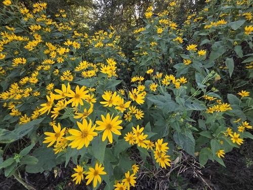
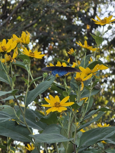

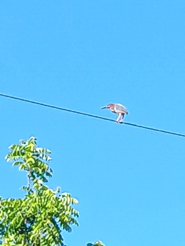

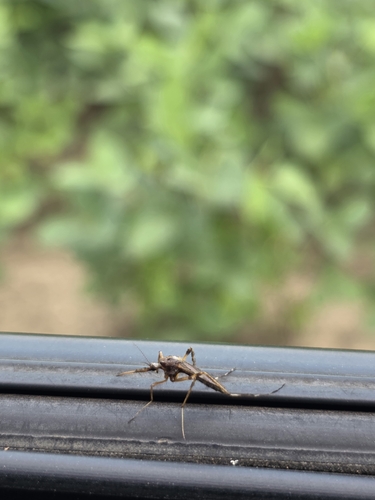
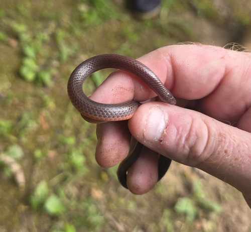
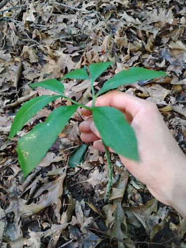

Research-grade observations from iNaturalist (within ~15 mi).
Nearest stream gauge
Events
Gallery
Sources
- • Wikipedia
- • US Census Bureau (ACS 5-year estimates)
- • NOAA National Weather Service
- • Wikidata
- • USGS Earthquake Catalog (global feed)
- • NCES via Urban Institute Education Data Portal
- • GBIF (Global Biodiversity Information Facility)
- • iNaturalist
- • CDC PLACES
- • Open-Meteo / sunrise-sunset.org
- • Wikipedia Pageviews API
- • Open Library
- • NASA EONET