Browse / Austria / Tyrol / Aldrans
Aldrans
Tyrolvillage

Aldrans
Total population
2,015
Air quality index
Demographic figures from Statistik Austria. Overview below cites Wikipedia and may reference a different year.
City facts
Facts from Wikidata (CC0).
Overview
Aldrans is a municipality in the Innsbruck-Land District, Tyrol (Austria) at an altitude of 760 m (2,490 ft), which had an area of 8.89 km2 (3.43 sq mi) and 2,496 inhabitants as January 2015.
Read more on WikipediaHistory & geography
History
The origin of Aldrans as a settlement could date back to the late Bronze Age, after the discovery of a handle of a sword and other objects of Iron Age and La Tène culture. The first mention of the village is reported in a 955 document as Alarein. In 1157 the village is mentioned in documents relating a donation, among the Counts of Andechs and the Tegernsee Abbey. In 1312, in a document, is mentioned Alrains derived from the old name of Allrainer Veld. In the Middle Ages Aldrans was part of an important market, in cooperation with Ampass, because situated on the salt road benefiting from the transit trade. In the thirteenth century the territory was divided between the Sovereign and the Abbey of Wilten. The population was passionate of drama so much that, in 1750 and in 1757 play competitions, called Martinsspiele, were organized and it was active the "Theatre of the Amazons" which were part only women. Aldrans in the nineteenth century was developed as a summer resort and in 1884 was directly connected to Innsbruck with a road. At the edge of the village a broadcasting station was constructed in 1927. It was shut down on March 1., 1984 and afterward dismantled. Aldrans figures in Thomas Bernhard's story Amras. The coat of arms represents the wings of an eagle in the air which form a lily leaf on a gold background. The wings of the eagle remember the insignia of the Counts of Andechs, and the lily leaf that of the Abbey of Tegernsee; the emblem refers to the donation that took place in 1157. The emblem was adopted November 20, 1979.
Geography
The village is on a highlands terrace southeast of Innsbruck, crossed by numerous river valleys, below the Patscherkofel (). Aldrans is on the ancient salt road, which connected Hall in Tirol and Mühlbachl—now the regional road Landesstraße L 38 (Elbögener Straße); the road L 32 (Innsbrucker Straße) connects the village with Innsbruck. Its nearness to the city it makes a residential centre. Part of the municipal boundaries are Prockenhöfe, Wiesenhof, Rans and Herzsee, a lake that is mainly used for fish breeding. Neighbour municipalities are: Ampass, Ellbögen, Igls, Innsbruck, Lans, Rinn, Sistrans.
Excerpted from the corresponding Wikipedia article (CC BY-SA).
Geography
Coordinates & boundaries from the US Census TIGER/Line shapefiles.
Climate
Air quality
Current readings from Open-Meteo Air Quality API (Copernicus CAMS European reanalysis).
Walkability
Amenities nearby
Wildlife & biodiversity
Most-observed species
- Eurasian BlackbirdTurdus merula Linnaeus, 1758 · Aves3,064
- Carrion CrowCorvus corone Linnaeus, 1758 · Aves2,759
- Narrow-leaved RagwortSenecio inaequidens DC. · Magnoliopsida2,622
- Great TitParus major Linnaeus, 1758 · Aves2,435
- Common ChaffinchFringilla coelebs Linnaeus, 1758 · Aves2,313
- Asian tiger mosquito, Forest day mosquitoAedes albopictus (Skuse, 1894) · Insecta1,971
- House SparrowPasser domesticus (Linnaeus, 1758) · Aves1,956
- European RobinErithacus rubecula (Linnaeus, 1758) · Aves1,952
Citizen-science & research observations from the Global Biodiversity Information Facility (GBIF).
Earthquake history
Most recent
- M 2.5 — 2021-10-035 km NNE of Silandro, Italy
- M 3.7 — 2021-08-161 km S of Niederau, Austria
- M 3.6 — 2020-08-085 km SE of Gramais, Austria
- M 3.8 — 2019-10-224 km SE of Ebbs, Austria
- M 2.5 — 2017-11-203 km SE of Medraz, Austria
- M 3.5 — 2017-11-032 km N of Telfes im Stubai, Austria
Events from the USGS Earthquake Catalog (global) (FDSN Event Web Service).
Photos
Sights & places nearby
Notable people from here


People born within ~10 km, from Wikidata (CC0). Click any name for their Wikipedia article.
Nearby places in Tyrol
- Thaur3.2 mi away · pop. 3,711
- Hall in Tirol3.6 mi away · pop. 14,418
- Tulfes4.1 mi away · pop. 1,381
- Mils4.6 mi away · pop. 4,000
- Schönberg im Stubaital4.9 mi away · pop. 1,008
- Volders6.1 mi away · pop. 4,547
- Mieders6.4 mi away · pop. 1,668
- Wattenberg7.6 mi away · pop. 706
- Birchach7.6 mi away
- Pfons7.6 mi away
- Mühlbachl7.8 mi away
- Schöfens8.1 mi away
Geography & sun
Elevation, sunrise/sunset and daylight from Open-Meteo. Solar climatology from NASA POWER.
Nearby airports
Public attention
Pageview totals from the Wikimedia Pageviews API.
Books about this place
Recent natural events nearby
Ground air-quality sensors
Recently spotted species
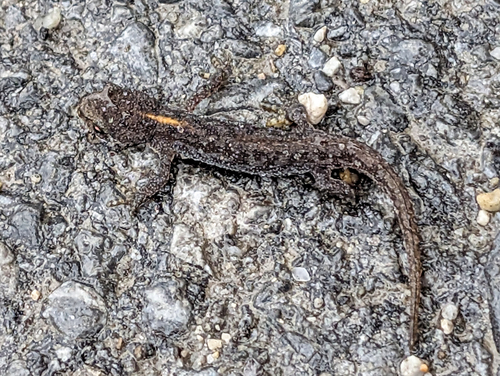
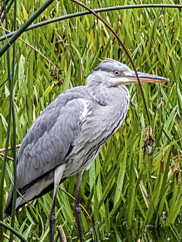
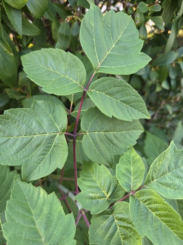
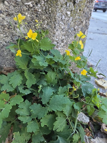
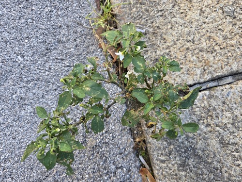
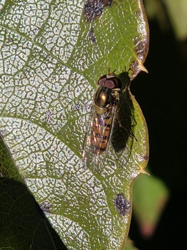
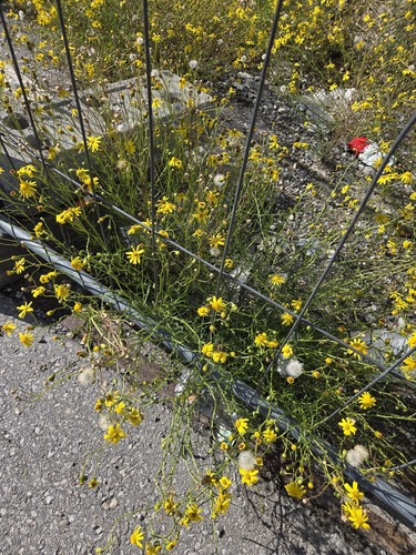
Research-grade observations from iNaturalist (within ~15 mi).
Events
Gallery
Geotagged photos within ~6 miles of Aldrans, from Wikimedia Commons contributors.
 0.1 mi
 0.1 mi
 0.1 mi
 0.1 mi
 0.1 mi
 0.1 mi
 0.1 mi
 0.1 mi
_v_S.jpg) 0.1 mi
0.1 mi 0.1 mi
 0.1 mi
 0.1 mi
 0.1 mi
 0.1 mi
 0.1 mi
 0.1 mi
 0.1 mi
 0.1 mi
 0.1 mi
 0.1 mi
 0.1 mi
 0.1 mi
 0.1 mi
 0.1 mi
Photos via Wikimedia Commons — see each image page for license & attribution.
Official Identifiers
Statistik Austria
- GKZ
- 70302
- Population (Wikidata)
- 2,761
- Wikidata
- Q670188
Gemeindekennziffer via Wikidata P964
Sources
- • Wikipedia
- • Wikimedia Commons
- • Wikidata
- • Open-Meteo Air Quality (CAMS)
- • USGS Earthquake Catalog (global feed)
- • GBIF (Global Biodiversity Information Facility)
- • iNaturalist
- • Open-Meteo / sunrise-sunset.org
- • Wikipedia Pageviews API
- • Statistik Austria — Gemeindekennziffer via Wikidata P964