Browse / Austria / Upper Austria / Angsüß
Angsüß
Upper Austriavillage
Total population
52
Air quality index
Demographic figures from Statistik Austria. Overview below cites Wikipedia and may reference a different year.
City facts
Overview
As a tiny village in Upper Austria, Austria, Angsüß occupies its own corner of the country. Population sits at roughly 52 according to the open data we track. Angsüß maps to 48.411°, 13.624° — squarely within the temperate belt. Solar-resource estimates put the area at about 1,186 kWh/m² of solar irradiance per year with sunshine for roughly 46% of daylight hours. The latitude suggests four distinct seasons with warm summers and cold winters. The remainder of this page draws on open public data to describe the area's demographics, climate, environment and nearby amenities.
Summary composed automatically from structured open data on this page. See our Terms for details.
History & geography
Geography
Coordinates & boundaries from the US Census TIGER/Line shapefiles.
Climate
Air quality
Current readings from Open-Meteo Air Quality API (Copernicus CAMS European reanalysis).
Walkability
Amenities nearby
Wildlife & biodiversity
Most-observed species
- Common wall lizardPodarcis muralis (Laurenti, 1768) · Squamata342
- European green lizardLacerta viridis (Laurenti, 1768) · Squamata160
- Asian bush mosquitoAedes japonicus (Theobald, 1901) · Insecta150
- Asian tiger mosquito, Forest day mosquitoAedes albopictus (Skuse, 1894) · Insecta144
- PeacockAglais io (Linnaeus, 1758) · Insecta137
- Tree Hole MosquitoAedes geniculatus (Olivier, 1791) · Insecta127
- Korean bush mosquitoAedes koreicus (Edwards, 1917) · Insecta125
- Eurasian BlackbirdTurdus merula Linnaeus, 1758 · Aves113
Citizen-science & research observations from the Global Biodiversity Information Facility (GBIF).
Earthquake history
Most recent
- M 3.8 — 2008-08-126 km SE of Maria Schmolln, Austria
- M 2.8 — 2008-08-062 km SE of Schalchen, Austria
- M 3.2 — 2008-06-224 km ESE of Micheldorf in Oberösterreich, Austria
- M 3.8 — 2008-04-174 km ESE of Inzell, Germany
- M 2.9 — 2008-03-168 km W of Windischgarsten, Austria
- M 3.5 — 2007-09-203 km WNW of Piding, Germany
Events from the USGS Earthquake Catalog (global) (FDSN Event Web Service).
Photos
Sights & places nearby
Notable people from here


People born within ~10 km, from Wikidata (CC0). Click any name for their Wikipedia article.
Nearby places in Upper Austria
- Mitterndorf0.8 mi away · pop. 193
- Engertsberg1.7 mi away · pop. 97
- Raffelsdorf1.8 mi away · pop. 58
- Gigering2.3 mi away
- Edenwiesen2.8 mi away · pop. 84
- Kühberg3 mi away
- Leoprechting3.4 mi away · pop. 150
- Gadern3.6 mi away · pop. 179
- Brauchsdorf3.8 mi away · pop. 50
- Riedlhof3.8 mi away · pop. 97
- Taufkirchen an der Pram4 mi away · pop. 830
- Brünning4.1 mi away · pop. 130
Geography & sun
Elevation, sunrise/sunset and daylight from Open-Meteo. Solar climatology from NASA POWER.
Nearby airports
Public attention
Books about this place
Recent natural events nearby
Ground air-quality sensors
Recently spotted species
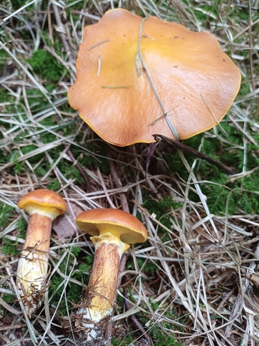
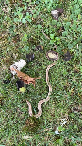
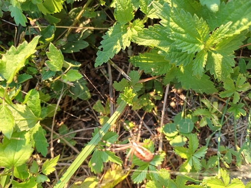


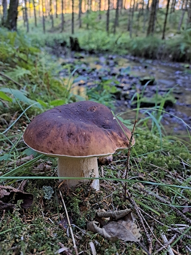
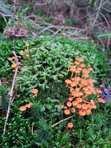
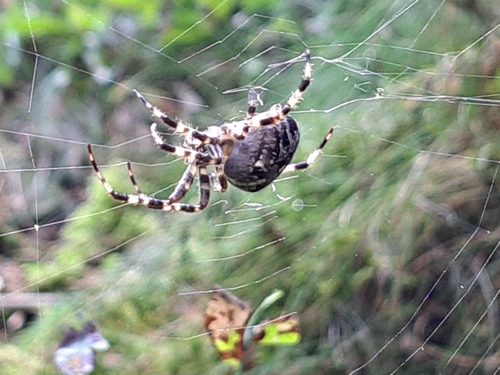
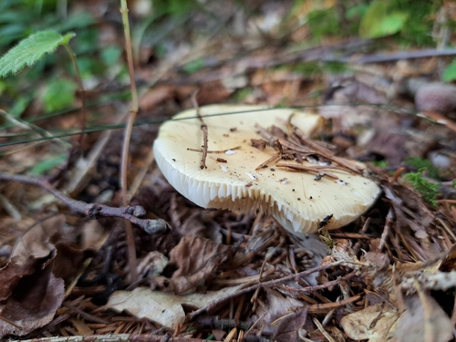
Research-grade observations from iNaturalist (within ~15 mi).
Events
Gallery
Sources
- • Wikidata
- • Open-Meteo Air Quality (CAMS)
- • USGS Earthquake Catalog (global feed)
- • GBIF (Global Biodiversity Information Facility)
- • iNaturalist
- • Open-Meteo / sunrise-sunset.org