Browse / Austria / Carinthia / Bad Sankt Leonhard im Lavanttal
Bad Sankt Leonhard im Lavanttal
Carinthiatown

Bad Sankt Leonhard im Lavanttal
Total population
4,386
Air quality index
Demographic figures from Statistik Austria. Overview below cites Wikipedia and may reference a different year.
City facts
Facts from Wikidata (CC0).
Overview
Bad St. Leonhard im Lavanttal is a spa town in the district of Wolfsberg in the Austrian state of Carinthia.
Read more on WikipediaHistory & geography
History
The area was settled since ancient times, when a Roman road led through the Lavanttal up to the Obdach Saddle pass and the Mur valley in present-day Upper Styria. In the 11th century, the surrounding Carinthian estates were enfeoffed to the Bishops of Bamberg by Emperor Henry II. A first chapel dedicated to Saint Leonard was consecrated during the tenure of Bishop Otto (1102–1139). His successors also had Gomarn Castle erected in order to protect their possessions, mainly from the rivalling Bishops of Lavant who resided at nearby Twimberg Castle. The settlement below the chapel was first mentioned in a 1278 deed, its citizens already had received town privileges by 1311, at the time when the Gothic parish church was erected. In the 15th century, mining for gold and silver became common in the area, run by the Fugger merchant family from Augsburg. Also, Sankt Leonhard became known for its mineral springs (Preblauer); the waters were mentioned by the physician Paracelsus in 1538. The Bamberg bishops finally sold the estates to the Habsburg empress Maria Theresa in 1759. Sankt Leonhard received the official status of a spa town (Bad) in 1935. During the Great Depression in the 1930s, several medieval stained glass windows of the parish church were sold and are now on display at The Cloisters museum in New York City.
Geography
The municipality lies in the upper Lavant valley (Lavanttal) north of the district capital Wolfsberg. The municipal area comprises the cadastral communities of Erzberg, Görlitzen, Kliening, Bad Sankt Leonhard proper, Schiefling, Schönberg, Theißing, and Twimberg. Bad St. Leonhard has access to the Süd Autobahn (A2). The Lavant Viaduct across the valley was inaugurated in 1986; with a height of , it is the second highest bridge in Austria.
Excerpted from the corresponding Wikipedia article (CC BY-SA).
Geography
Coordinates & boundaries from the US Census TIGER/Line shapefiles.
Climate
Air quality
Current readings from Open-Meteo Air Quality API (Copernicus CAMS European reanalysis).
Walkability
Amenities nearby
Wildlife & biodiversity
Most-observed species
- HeatherCalluna vulgaris (L.) Hull · Magnoliopsida126
- Mountain ArnicaArnica montana L. · Magnoliopsida121
- bearded bellflowerCampanula barbata L. · Magnoliopsida110
- CowberryVaccinium vitis-idaea L. · Magnoliopsida104
- common frogRana temporaria Linnaeus, 1758 · Amphibia98
- Karinthian Mountain GrasshopperMiramella carinthiaca (Obenberger, 1926) · Insecta96
- Willow GentianGentiana asclepiadea L. · Magnoliopsida94
- Large PinkDianthus superbus L. · Magnoliopsida93
Citizen-science & research observations from the Global Biodiversity Information Facility (GBIF).
Earthquake history
Most recent
- M 3.9 — 2021-01-203 km NNE of Ardning, Austria
- M 3.4 — 2013-04-076 km NNE of Morav?e, Slovenia
- M 4 — 2013-02-026 km S of Sittersdorf, Austria
- M 4.3 — 2012-12-036 km NNE of Morav?e, Slovenia
- M 4.2 — 2009-05-07Austria
- M 3 — 2008-12-291 km SSW of Gurk, Austria
Events from the USGS Earthquake Catalog (global) (FDSN Event Web Service).
Photos
Sights & places nearby
Notable people from here


People born within ~10 km, from Wikidata (CC0). Click any name for their Wikipedia article.
Geography & sun
Elevation, sunrise/sunset and daylight from Open-Meteo. Solar climatology from NASA POWER.
Nearby airports
Public attention
Pageview totals from the Wikimedia Pageviews API.
Books about this place
Recent natural events nearby
Ground air-quality sensors
Recently spotted species
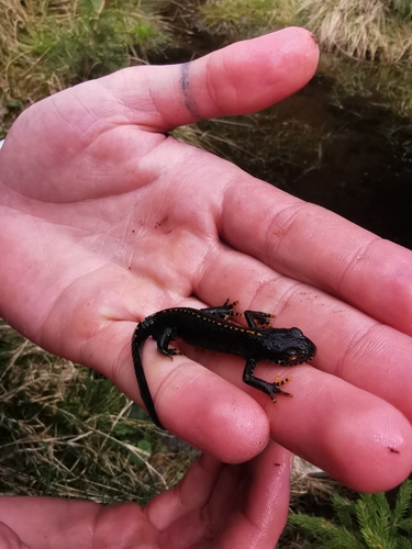

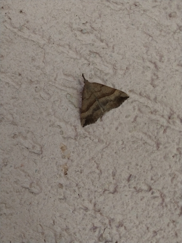
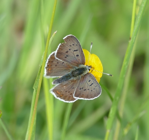
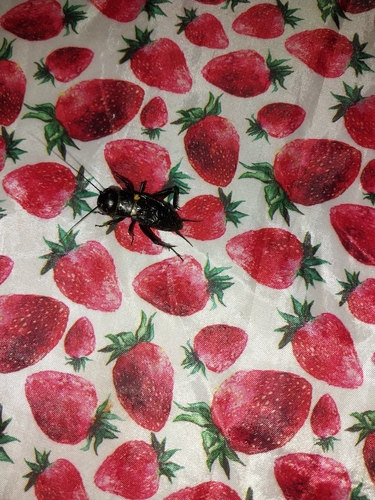
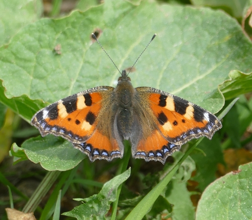
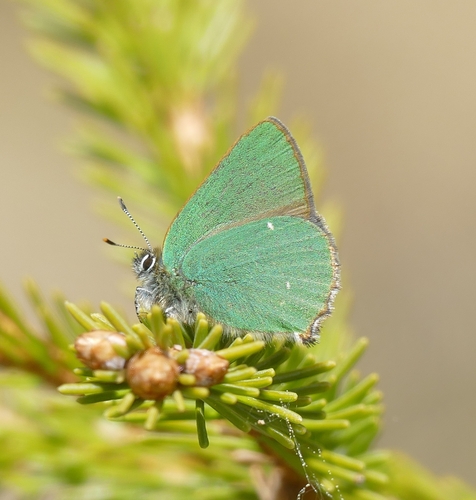
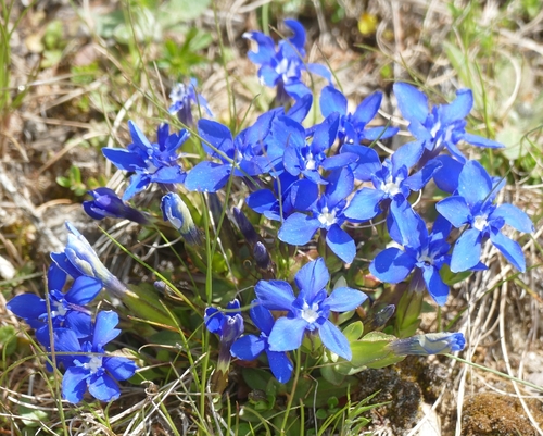
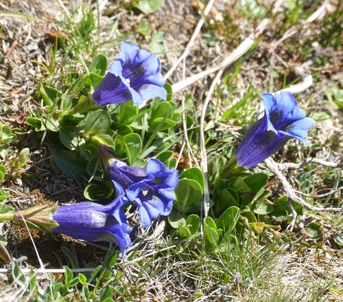
Research-grade observations from iNaturalist (within ~15 mi).
Events
Gallery
Geotagged photos within ~6 miles of Bad Sankt Leonhard im Lavanttal, from Wikimedia Commons contributors.
 0 mi
0 mi 0 mi
0 mi 0.1 mi
 0.1 mi
 0.1 mi
 0.1 mi
.jpg) 0.1 mi
0.1 mi.jpg) 0.1 mi
0.1 mi 0.1 mi
 0.5 mi
 0.6 mi
 0.6 mi
 0.7 mi
 0.9 mi
 1.4 mi
 1.4 mi
 1.5 mi
 1.5 mi
.jpg) 1.5 mi
1.5 mi 1.7 mi
 2.2 mi
 2.5 mi
 2.5 mi
 2.5 mi
Photos via Wikimedia Commons — see each image page for license & attribution.
Sources
- • Wikipedia
- • Wikimedia Commons
- • Wikidata
- • Open-Meteo Air Quality (CAMS)
- • USGS Earthquake Catalog (global feed)
- • GBIF (Global Biodiversity Information Facility)
- • iNaturalist
- • Open-Meteo / sunrise-sunset.org
- • Wikipedia Pageviews API