Browse / Austria / Carinthia / Bleiburg/Pliberk
Bleiburg/Pliberk
Carinthiatown

Bleiburg/Pliberk
Total population
1,339
Demographic figures from Statistik Austria. Overview below cites Wikipedia and may reference a different year.
City facts
Overview
Bleiburg is a small town in the south Austrian state of Carinthia (Koroška), south-east of Klagenfurt, in the district of Völkermarkt, some four kilometres from the border with Slovenia.
Read more on WikipediaHistory & geography
History
The area was part of the Liupicdorf estate in the Duchy of Carinthia, which about 1000 Bishop Albuin I of Brixen dedicated to his brother Count Aribo. The oldest surviving document mentioning the town as castrum et forum Pliburch is dated to 1228. The comital estates of Bleiburg Castle were seized by the Habsburg dukes Albert III and Leopold III in 1369, the settlement received town privileges the next year. On 16 March 1393 Duke Albert granted the citizens the right to hold the annual Wiesenmarkt ('meadow market') fair, which has taken place on 1 September every year up to today at least since 1428. In 1601 the castle was ceded to the Thurn-Valsassina comital family, who had it rebuilt in its present Renaissance style and still owns it today, together with the nearby Castle Hagenegg in Eisenkappel-Vellach. Between 1918 and 1920, Bleiburg was occupied by Yugoslav troops. In spite of the overwhelming Slovene majority in the area, the town remained in Austria after the dissolution of the Austro-Hungarian Empire along national/ethnic lines after the end of World War I. In the Carinthian Plebiscite of 1920, in fact, the inhabitants of southern Carinthia rejected the proposal to unite with the Kingdom of Serbs, Croats and Slovenes (the later Yugoslavia), and chose to remain in Austria. In the constituency of Bleiburg, however, a slim majority of the population (51%) cast its vote for Yugoslavia. In the territory of the present-day municipality of Bleiburg, 59.8% of the voters chose Yugoslavia over Austria. On 15 May 1945, the Independent State of Croatia capitulated to the victorious Yugoslav Army in Bleiburg. It was the initial location of a series of extrajudicial executions during the course of which Partisans killed tens of thousands of Ustaše, Croatian Home Guard,…
Geography
The border town is located in the valley of the Feistritz creek, a right tributary of the Drava, north of the Peca massif of the Karawanks mountain range. It is home to a district court, military barracks and to the local productive and services industry. The name of Bleiburg, literally meaning 'Lead Castle', can be attributed to the lead mining operations in the Peca mountain.
Excerpted from the corresponding Wikipedia article (CC BY-SA).
Geography
Coordinates & boundaries from the US Census TIGER/Line shapefiles.
Climate
Air quality
Walkability
Amenities nearby
Wildlife & biodiversity
Most-observed species
- Common wall lizardPodarcis muralis (Laurenti, 1768) · Squamata250
- Japanese oak silk mothAntheraea yamamai Guérin-Méneville, 1861 · Insecta186
- Common ToadBufo bufo (Linnaeus, 1758) · Amphibia161
- Great Crested GrebePodiceps cristatus (Linnaeus, 1758) · Aves99
- Mute SwanCygnus olor (J.F.Gmelin, 1789) · Aves99
- European green lizardLacerta viridis (Laurenti, 1768) · Squamata98
- Indian BalsamImpatiens glandulifera Royle · Magnoliopsida97
- Willow GentianGentiana asclepiadea L. · Magnoliopsida97
Citizen-science & research observations from the Global Biodiversity Information Facility (GBIF).
Earthquake history
Most recent
- M 4 — 2020-07-175 km SSE of Bovec, Slovenia
- M 4.3 — 2015-11-015 km SSW of Brežice, Slovenia
- M 4 — 2015-08-294 km E of Kobarid, Slovenia
- M 3.7 — 2014-05-298 km W of Cerkno, Slovenia
- M 4.4 — 2014-03-139 km E of Ribnica, Slovenia
- M 4 — 2013-06-165 km WSW of Žužemberk, Slovenia
Events from the USGS Earthquake Catalog (global) (FDSN Event Web Service).
Photos
Sights & places nearby
Notable people from here
Nearby places in Carinthia
- Einersdorf/Nonča vas0.8 mi away · pop. 286
- Moos/Blato1.5 mi away · pop. 25
- Loibach/Libuče1.6 mi away · pop. 429
- Lettenstätten/Letina1.9 mi away · pop. 103
- Penk/Ponikva2.1 mi away · pop. 316
- Hinterlibitsch/Suha2.1 mi away · pop. 50
- Replach/Replje2.3 mi away · pop. 80
- Dolintschitschach/Dolinčiče2.5 mi away · pop. 58
- Sankt Georgen/Šentjur3.1 mi away · pop. 40
- Pirkdorf/Breška vas3.4 mi away
- Rinkolach/Rinkole3.4 mi away · pop. 94
- Unterort/Podkraj3.5 mi away · pop. 65
Geography & sun
Elevation, sunrise/sunset and daylight from Open-Meteo. Solar climatology from NASA POWER.
Nearby airports
Public attention
Pageview totals from the Wikimedia Pageviews API.
Books about this place
Recent natural events nearby
Ground air-quality sensors
Recently spotted species
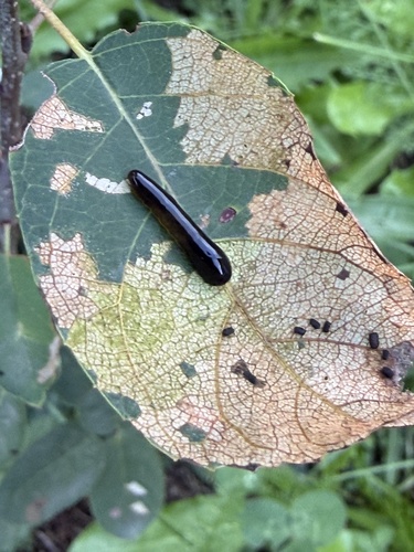
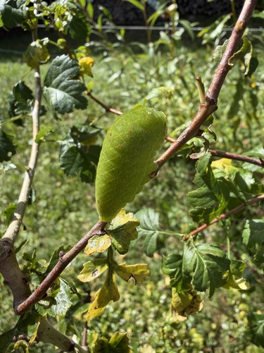
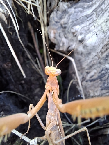
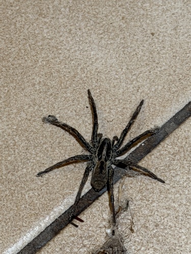
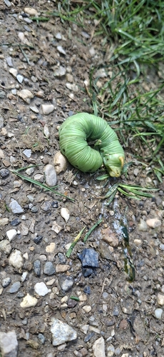
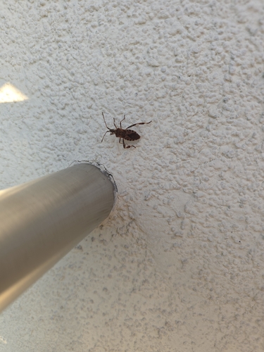
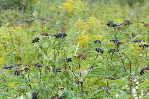
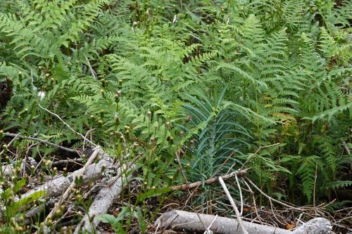
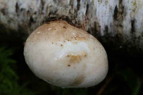
Research-grade observations from iNaturalist (within ~15 mi).
Events
Gallery
Sources
- • Wikipedia
- • USGS Earthquake Catalog (global feed)
- • GBIF (Global Biodiversity Information Facility)
- • iNaturalist
- • Open-Meteo / sunrise-sunset.org
- • Wikipedia Pageviews API