Browse / Austria / Vorarlberg / Bludenz
Bludenz
Vorarlbergtown

Bludenz
Total population
15,029
Air quality index
Demographic figures from Statistik Austria. Overview below cites Wikipedia and may reference a different year.
City facts
Sister cities
Facts from Wikidata (CC0).
Overview
Bludenz is a town in the westernmost Austrian state of Vorarlberg. It is the administrative seat of the Bludenz District, which encompasses about half of Vorarlberg's territory. As of January 2025, Bludenz had a population of 15,102.
Read more on WikipediaHistory & geography
History
Archaeological finds indicate that settlement in the area of Bludenz began in the Bronze Age, and continued throughout the La Tène era. Bludenz itself was first mentioned in the year 830 CE in an urbarium of the Raetian estates within the Carolingian Empire. The town was established by the comital Werdenberg dynasty; town privileges were granted in 1274. A stay by the Habsburg Duke Frederick IV of Austria, who had just received an imperial ban at the Council of Constance, is documented from 30 March 1416. Four years later, Bludenz passed into the Further Austrian possessions of the Habsburg dynasty. The Bludenz district headquarters are situated in the Castle of Gayenhofen, built in the 18th century. In 1873, the German and Austrian Alpine Club was created in a merger between the German Alpine Club and the Austrian Alpine Club in the former shooting lodge next to Gayenhofen Castle. At the end of World War One, the region voted against joining Switzerland in the 1919 Vorarlberg annexation referendum, being one of only three municipalities to do so. After the Anschluss, the region became part of Reichsgau Tirol-Vorarlberg. The South Tyrol Option Agreement lead to a large influx of South-Tyrolers into the region, and as a result, new accommodation was built for those moving to the region. In 1943, the tower of the Church of the Holy Cross was used as an aerial observation post, with an air station being built on Mutterberg. Anti-air guns were mounted in the Bludenz train station and the Bürs substation. French troops liberated the region in May 1945 and remained until the end of Allied-occupied Austria.
Geography
The town is located on the Ill River, a direct tributary of the Rhine. It is surrounded by the ranges of the Bregenz Forest Mountains in the north, and by the Rätikon and Silvretta ranges in the south. Bludenz lies at the meeting point of five valleys: Walgau and Montafon (Ill), Brandnertal, Klostertal up to Arlberg Pass, and Großes Walsertal. Bludenz is a popular starting point for hiking and mountain-biking in spring, summer, and autumn. It is located not far from many skiing resorts (e.g., Brand and Lech). Major companies are Mondelēz International (Milka chocolate) and the Fohrenburg brewery which was established in 1881.
Excerpted from the corresponding Wikipedia article (CC BY-SA).
Geography
Coordinates & boundaries from the US Census TIGER/Line shapefiles.
Climate
Air quality
Current readings from Open-Meteo Air Quality API (Copernicus CAMS European reanalysis).
Walkability
Amenities nearby
Wildlife & biodiversity
Most-observed species
- Eurasian BlackbirdTurdus merula Linnaeus, 1758 · Aves940
- Carrion CrowCorvus corone Linnaeus, 1758 · Aves899
- Common ChaffinchFringilla coelebs Linnaeus, 1758 · Aves835
- Great TitParus major Linnaeus, 1758 · Aves822
- House SparrowPasser domesticus (Linnaeus, 1758) · Aves768
- Heath Spotted-orchidDactylorhiza maculata (L.) Soó · Liliopsida631
- Red KiteMilvus milvus (Linnaeus, 1758) · Aves603
- Eurasian Blue TitCyanistes caeruleus (Linnaeus, 1758) · Aves590
Citizen-science & research observations from the Global Biodiversity Information Facility (GBIF).
Earthquake history
Most recent
- M 4.2 — 2026-04-261 km SSW of Walenstadt, Switzerland
- M 4.2 — 2024-06-042 km NNW of Unteriberg, Switzerland
- M 3.8 — 2022-09-012 km WSW of Sevelen, Switzerland
- M 2.5 — 2021-10-035 km NNE of Silandro, Italy
- M 4 — 2020-10-255 km ESE of Ennenda, Switzerland
- M 3.6 — 2020-08-085 km SE of Gramais, Austria
Events from the USGS Earthquake Catalog (global) (FDSN Event Web Service).
Photos
Sights & places nearby
Notable people from here


People born within ~10 km, from Wikidata (CC0). Click any name for their Wikipedia article.
Nearby places in Vorarlberg
- Rungelin0.9 mi away · pop. 753
- Bürserberg2.3 mi away · pop. 574
- Radin2.6 mi away · pop. 160
- Meiern4.3 mi away
- Vandans4.4 mi away · pop. 2,773
- Thüringerberg4.6 mi away · pop. 721
- St. Gerold4.7 mi away · pop. 383
- Schnifis6.2 mi away · pop. 789
- Schlins6.8 mi away · pop. 2,568
- Dünserberg6.9 mi away · pop. 154
- Latz8 mi away · pop. 131
- Innerlaterns8.1 mi away · pop. 226
Geography & sun
Elevation, sunrise/sunset and daylight from Open-Meteo. Solar climatology from NASA POWER.
Nearby airports
Public attention
Pageview totals from the Wikimedia Pageviews API.
Books about Bludenz
Search results from Open Library.
Recent natural events nearby
Ground air-quality sensors
Recently spotted species
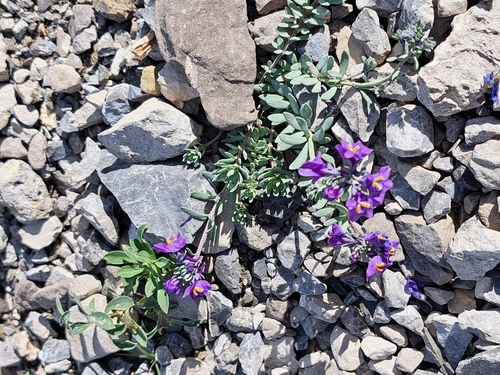
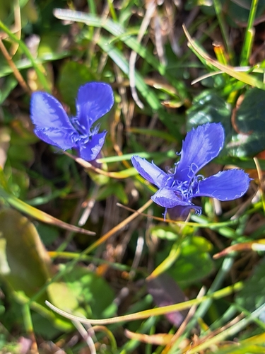
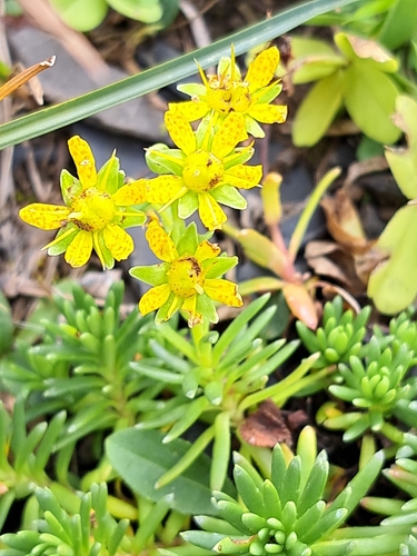
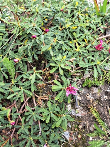
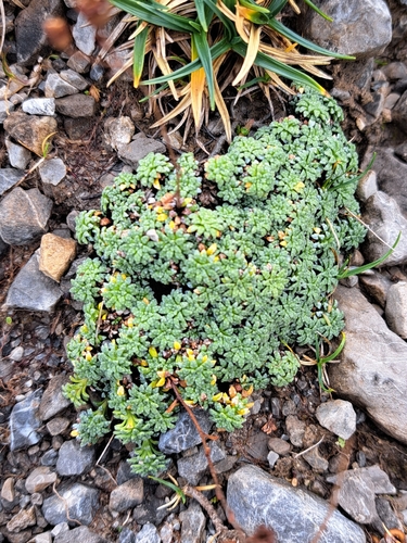
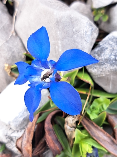
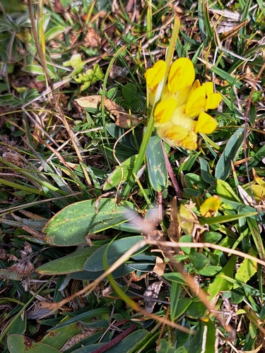
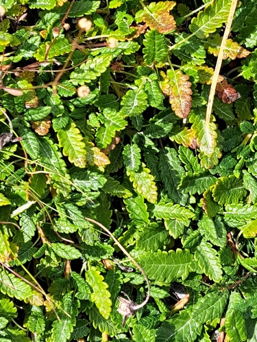
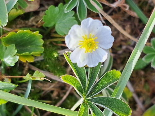
Research-grade observations from iNaturalist (within ~15 mi).
Events
Notable, recurring, and historical events associated with Bludenz, sourced from Wikidata.
- 2022 FIL Junior European Luge ChampionshipsJan 1, 2022planned event
Source: Wikidata (CC0).
Gallery
Geotagged photos within ~6 miles of Bludenz, from Wikimedia Commons contributors.
 0 mi
0 mi 0 mi
0 mi_1.JPG) 0 mi
0 mi_2.JPG) 0 mi
0 mi_3.JPG) 0 mi
0 mi 0 mi
0 mi 0 mi
0 mi 0.1 mi
 0.1 mi
 0.1 mi
 0.1 mi
 0.1 mi
 0.1 mi
 0.1 mi
 0.1 mi
 0.1 mi
 0.1 mi
 0.1 mi
 0.1 mi
 0.1 mi
 0.1 mi
 0.1 mi
 0.2 mi
 0.2 mi
Photos via Wikimedia Commons — see each image page for license & attribution.
Official Identifiers
Statistik Austria
- GKZ
- 80103
- Population (Wikidata)
- 15,102
- Wikidata
- Q494504
Gemeindekennziffer via Wikidata P964
Sources
- • Wikipedia
- • Wikimedia Commons
- • Wikidata
- • Open-Meteo Air Quality (CAMS)
- • USGS Earthquake Catalog (global feed)
- • GBIF (Global Biodiversity Information Facility)
- • iNaturalist
- • Open-Meteo / sunrise-sunset.org
- • Wikipedia Pageviews API
- • Open Library
- • Statistik Austria — Gemeindekennziffer via Wikidata P964