Browse / Austria / Upper Austria / Ehrenfeld
Ehrenfeld
Upper Austriavillage
Total population
104
Demographic figures from Statistik Austria. Overview below cites Wikipedia and may reference a different year.
City facts
Overview
Within Upper Austria, Austria, Ehrenfeld stands as a small village. The population stands at approximately 104. Ehrenfeld maps to 47.989°, 13.795° — squarely within the temperate belt. Solar-resource estimates put the area at about 1,186 kWh/m² of solar irradiance per year with sunshine for roughly 46% of daylight hours. Based on its temperate position, residents likely encounter four distinct seasons with warm summers and cold winters. Detailed open-data panels follow, covering demographics, climate, geography, wildlife and nearby settlements.
Summary composed automatically from structured open data on this page. See our Terms for details.
History & geography
Geography
Coordinates & boundaries from the US Census TIGER/Line shapefiles.
Climate
Air quality
Walkability
Amenities nearby
Wildlife & biodiversity
Most-observed species
- Slow wormAnguis fragilis Linnaeus, 1758 · Squamata498
- Eurasian BlackbirdTurdus merula Linnaeus, 1758 · Aves495
- Carrion CrowCorvus corone Linnaeus, 1758 · Aves357
- Common ChaffinchFringilla coelebs Linnaeus, 1758 · Aves351
- Great TitParus major Linnaeus, 1758 · Aves337
- Agile FrogRana dalmatina Fitzinger, 1838 · Amphibia284
- Common ToadBufo bufo (Linnaeus, 1758) · Amphibia279
- Eurasian Blue TitCyanistes caeruleus (Linnaeus, 1758) · Aves278
Citizen-science & research observations from the Global Biodiversity Information Facility (GBIF).
Earthquake history
Most recent
- M 3.9 — 2021-01-203 km NNE of Ardning, Austria
- M 3.8 — 2008-08-126 km SE of Maria Schmolln, Austria
- M 2.8 — 2008-08-062 km SE of Schalchen, Austria
- M 4.1 — 2008-07-18Austria
- M 3.2 — 2008-06-224 km ESE of Micheldorf in Oberösterreich, Austria
- M 2.5 — 2008-05-218 km NE of Filzmoos, Austria
Events from the USGS Earthquake Catalog (global) (FDSN Event Web Service).
Photos
Sights & places nearby
Notable people from here


People born within ~10 km, from Wikidata (CC0). Click any name for their Wikipedia article.
Nearby places in Upper Austria
- Sandhäuslberg0.2 mi away · pop. 233
- Steyrermühl0.6 mi away
- Weinberg0.7 mi away
- In der Au0.9 mi away
- Stockham1.5 mi away
- Peiskam1.8 mi away · pop. 129
- Hochbau2.4 mi away · pop. 244
- Buchen3.5 mi away · pop. 335
- Wiesen3.5 mi away · pop. 95
- Rutzenmoos4.1 mi away · pop. 429
- Neuhofen4.2 mi away · pop. 158
- Innergrub4.3 mi away · pop. 274
Geography & sun
Elevation, sunrise/sunset and daylight from Open-Meteo. Solar climatology from NASA POWER.
Nearby airports
Public attention
Books about this place
Recent natural events nearby
Ground air-quality sensors
Recently spotted species

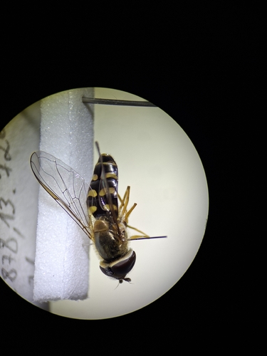
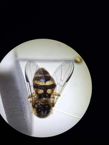
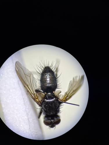
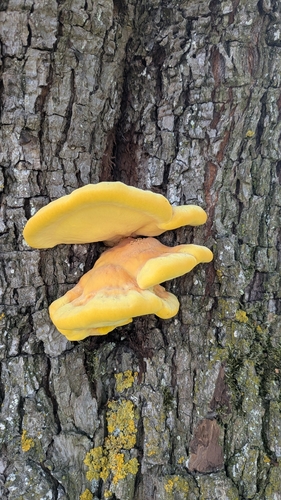

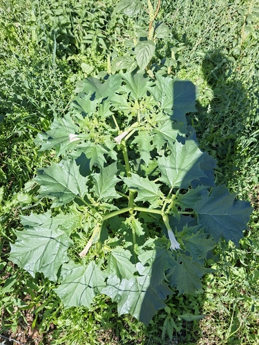

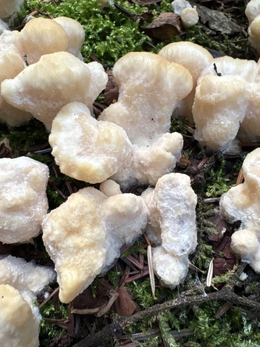
Research-grade observations from iNaturalist (within ~15 mi).
Events
Gallery
Sources
- • Wikidata
- • USGS Earthquake Catalog (global feed)
- • GBIF (Global Biodiversity Information Facility)
- • iNaturalist
- • Open-Meteo / sunrise-sunset.org