Browse / Austria / Burgenland / Eisenstadt
Eisenstadt
Burgenlandtown

Eisenstadt
Total population
9,243
Demographic figures from Statistik Austria. Overview below cites Wikipedia and may reference a different year.
City facts
Sister cities
Facts from Wikidata (CC0).
Overview
Eisenstadt is the capital city of the Austrian state of Burgenland. With a population of 16,118, it is the smallest state capital and the 38th-largest city in Austria overall. It lies at the foot of the Leitha Mountains.
Read more on WikipediaHistory & geography
History
Archeological finds prove that the Eisenstadt area was already settled in the Hallstatt period. Celts and Romans settled somewhat later. During the Migration Period, the area was settled by different Germanic tribes and the Huns. Around 800, during the reign of Charlemagne, settlement by the Bavarii began. The territory became part of the Kingdom of Hungary in the 11th century. The fortress built on the original earth works was destroyed by the troops of Margrave Leopold III of Austria. In 1241, it was destroyed by the Mongol invaders. In 1373, the town came into the possession of the Kanizsai family, who rebuilt the walls surrounding the town and built a fortress at the site of the present day castle between 1388 and 1392. In 1388, Eisenstadt was given the right to hold markets by Emperor Sigismund. From 1440 Archduke Albert VI of Austria held the town as collateral for a loan. In 1451, Matthias Corvinus ceded it to Frederick III, Holy Roman Emperor in return for the Holy Crown of Hungary. Matthias Corvinus reconquered it by force in 1482, but Maximilian I acquired it again in 1490. It remained under Habsburg rule until 1622; however, the Ottoman Empire briefly conquered Kismarton in 1529 and 1532 during their advances on the city of Vienna (see Ottoman wars in Europe). It was destroyed by fire in 1589. In 1648, it passed under the rule of the Esterházy family. These Hungarian princes permanently changed the face of the city due to their extensive construction, especially on their castle, Schloss Esterházy. During this period, the city was captured by the army of Imre Thököly in 1683, and it saw the defeat of the rebel kuruc army of Sándor Károlyi by the Habsburgs in 1704. It was again destroyed by fire in 1776. The appointment of Joseph Haydn as the prince's…
Geography
Eisenstadt lies on a plain leading down to the river Wulka, at the southern foot of the Leitha Mountains, about from the Hungarian border. Eisenstadt is divided into three districts (Ortsteile): *Eisenstadt-Stadt (Eisenstadt proper) * Kleinhöflein im Burgenland (; ) – a town that lies to the west of Eisenstadt proper * St. Georgen am Leithagebirge (Lajtaszentgyörgy; Svetojurje) – a town that lies to the east of Eisenstadt proper Furthermore, Eisenstadt is divided into five Katastralgemeinden: * Eisenstadt-Stadt * Oberberg, or Oberberg-Eisenstadt (; ) – the northern area of Eisenstadt starting beyond the Jewish quarter * Unterberg, or Unterberg-Eisenstadt (Alsókismartonhegy; Željezno Donji Brig) – the southern area of Eisenstadt starting beyond the Kalvarienbergplatz & the Ruster Straße and including the Jewish quarter * Kleinhöflein im Burgenland * St. Georgen am Leithagebirge Other informal areas of the city include Wiesäcker and Lobäcker, which lie south of the Eisbach, a tributary of the Wulka. The city is surrounded by the district (Bezirk) of Eisenstadt-Umgebung. The city previously included the districts (Ortsteile) of Eisenstadt-Stadt, Eisenstadt-Oberberg, Eisenstadt-Unterberg, and Eisenstadt-Schloßgrund (Kismartonváralja). * Großhöflein, Müllendorf, Steinbrunn, Neufeld/Leitha and Ebenfurth * Hornstein * Wulkaprodersdorf, Trausdorf/Wulka (on the Wulka and Eisbach)
Excerpted from the corresponding Wikipedia article (CC BY-SA).
Geography
Coordinates & boundaries from the US Census TIGER/Line shapefiles.
Climate
Air quality
Walkability
Amenities nearby
Wildlife & biodiversity
Most-observed species
- Graylag GooseAnser anser (Linnaeus, 1758) · Aves2,299
- Eurasian Marsh-HarrierCircus aeruginosus (Linnaeus, 1758) · Aves1,788
- Asian tiger mosquito, Forest day mosquitoAedes albopictus (Skuse, 1894) · Insecta1,763
- Black-headed GullChroicocephalus ridibundus (Linnaeus, 1766) · Aves1,753
- Tree Hole MosquitoAedes geniculatus (Olivier, 1791) · Insecta1,707
- Asian bush mosquitoAedes japonicus (Theobald, 1901) · Insecta1,703
- Eurasian KestrelFalco tinnunculus Linnaeus, 1758 · Aves1,685
- Korean bush mosquitoAedes koreicus (Edwards, 1917) · Insecta1,673
Citizen-science & research observations from the Global Biodiversity Information Facility (GBIF).
Earthquake history
Most recent
- M 4.2 — 2026-07-231 km E of Schottwien, Austria
- M 3.9 — 2026-02-2111 km ESE of Šamorín, Slovakia
- M 4 — 2024-02-010 km NNE of Semmering, Austria
- M 4 — 2023-03-301 km WNW of Buchbach, Austria
- M 3.9 — 2021-04-193 km SW of Wiener Neustadt, Austria
- M 4 — 2021-03-303 km NW of Lanzenkirchen, Austria
Events from the USGS Earthquake Catalog (global) (FDSN Event Web Service).
Photos
Sights & places nearby
Notable people from here


People born within ~10 km, from Wikidata (CC0). Click any name for their Wikipedia article.
Nearby places in Burgenland
- Kleinhöflein1.1 mi away · pop. 3,107
- St. Georgen am Leithagebirge1.4 mi away · pop. 2,466
- Hornstein/Vorištan4.5 mi away · pop. 2,640
- Siegendorf/Cindrof4.6 mi away · pop. 2,701
- Oslip/Uzlop4.7 mi away · pop. 1,323
- Loretto4.8 mi away
- Steinbrunn/Štikapron5.2 mi away · pop. 1,981
- Hirm5.2 mi away
- Zagersdorf/Cogrštof5.6 mi away · pop. 900
- Zillingtal/Celindof5.8 mi away · pop. 895
- Klingenbach/Klimpuh6.3 mi away · pop. 1,189
- Oggau am Neusiedler See6.6 mi away · pop. 1,753
Geography & sun
Elevation, sunrise/sunset and daylight from Open-Meteo. Solar climatology from NASA POWER.
Nearby airports
Public attention
Pageview totals from the Wikimedia Pageviews API.
Books about Eisenstadt

Search results from Open Library.
Recent natural events nearby
Ground air-quality sensors
Recently spotted species
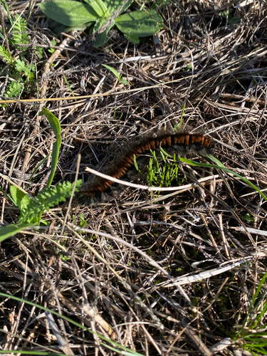
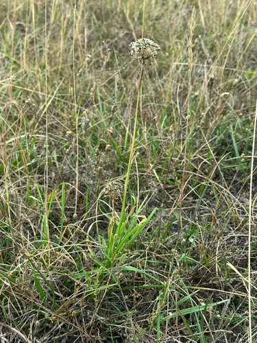
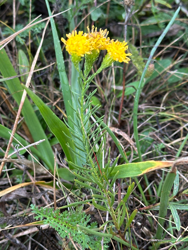
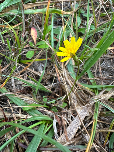
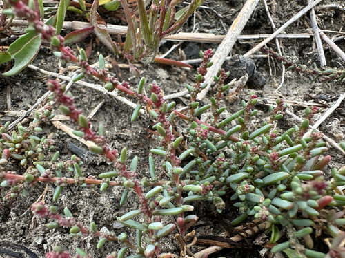
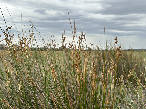
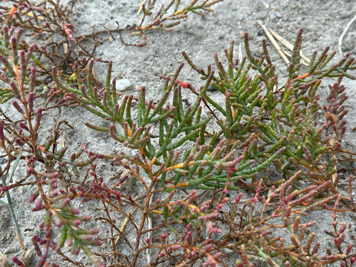
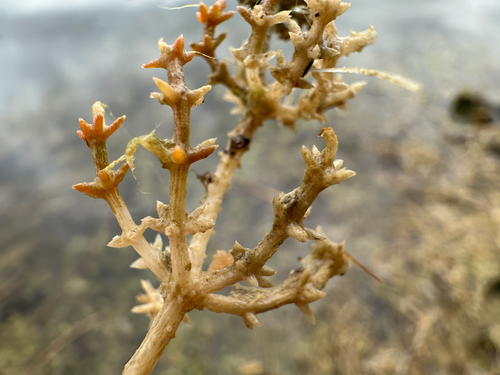
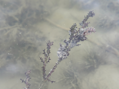
Research-grade observations from iNaturalist (within ~15 mi).
Events
Gallery
Geotagged photos within ~6 miles of Eisenstadt, from Wikimedia Commons contributors.
.JPG) 0 mi
0 mi.JPG) 0 mi
0 mi 0 mi
0 mi 0 mi
0 mi.JPG) 0 mi
0 mi.JPG) 0 mi
0 mi.jpg) 0 mi
0 mi 0 mi
0 mi 0 mi
0 mi 0 mi
0 mi.jpg) 0 mi
0 mi.jpg) 0 mi
0 mi.jpg) 0 mi
0 mi 0.1 mi
 0.1 mi
 0.1 mi
 0.1 mi
 0.1 mi
 0.1 mi
_(38887119375).jpg) 0.1 mi
0.1 mi_(38887118975).jpg) 0.1 mi
0.1 mi_(38887118615).jpg) 0.1 mi
0.1 mi.jpg) 0.1 mi
0.1 mi_(25913895898).jpg) 0.1 mi
0.1 miPhotos via Wikimedia Commons — see each image page for license & attribution.
Official Identifiers
Statistik Austria
- GKZ
- 10101
- Population (Wikidata)
- 14,476
- Wikidata
- Q126321
Gemeindekennziffer via Wikidata P964
Sources
- • Wikipedia
- • Wikimedia Commons
- • Wikidata
- • USGS Earthquake Catalog (global feed)
- • GBIF (Global Biodiversity Information Facility)
- • iNaturalist
- • Open-Meteo / sunrise-sunset.org
- • Wikipedia Pageviews API
- • Open Library
- • Statistik Austria — Gemeindekennziffer via Wikidata P964