Browse / Austria / Upper Austria / Frankenburg am Hausruck
Frankenburg am Hausruck
Upper Austriavillage

Frankenburg am Hausruck
Total population
4,841
Air quality index
Demographic figures from Statistik Austria. Overview below cites Wikipedia and may reference a different year.
City facts
Facts from Wikidata (CC0).
Overview
Frankenburg am Hausruck is a municipality in the district of Vöcklabruck in the Austrian state of Upper Austria.
Read more on WikipediaHistory & geography
History
Frankenburg was part of the Roman province Noricum since the year 16 AD. Around 600, Bavarians migrated from the area of Franken and cleared the area in the Hausruck. Around 1100, Rapoto von Julbach built the Frankenburg on the Hofberg, which gave it its name. Since the 12th century the village belonged to the Duchy of Austria. Since 1490 it has been assigned to the principality of Upper Austria. Hans von Khevenhüller-Frankenburg bought Kammer Castle from Emperor Rudolf II in 1581, as well as the dominions of Kogl Castle (where the Khevenhüllers built Kogl Castle in 1750) and Frankenburg with Frein Castle, which were united to form the "County of Frankenburg". Castle Frankenburg on the Hofberg was abandoned as the administrative seat, and on June 11, 1621, Emperor Ferdinand II elevated Frankenburg to the status of the market town. When in May 1625 - at the time of the Thirty Years' War - a Roman Catholic clergyman was to be installed in Frankenburg, there was an armed rebellion by the majority of Protestant-minded citizens and farmers. However, this rebellion was abandoned after three days because the Bavarian governor Adam Graf von Herberstorff promised "mercy" if the rebels came to Haushamerfeld without arms and weapons. However, this "mercy" was terrible: Herberstorff appeared accompanied by a strong military unit and declared the Frankenburgers present condemned to death. Thirty-six committee men had to roll the dice for their lives in pairs: half of them were pardoned, the other found death by hanging. This Frankenburg dice game was the prelude to the Upper Austrian Peasant Wars. Karl Itzinger set a literary monument to this event in his novel Das Blutgericht am Haushamerfeld (The Blood Court at Haushamer Field), and since 1925 they have been reenacted every two…
Geography
Frankenburg am Hausruck is situated at an altitude of 519 m in the Hausruckviertel. The extension from north to south is 10.6 km, from west to east 10.3 km. The total area is 48.5 km², 44.5% of the area is forested, 49.3% of the area is used for agriculture. The municipal territory includes the following 63 localities (in parentheses number of inhabitants as of January 1, 2022): * Arbing (40) * Au (118) * Außerhörgersteig (41) * Badstuben (89) * Brunnhölzl (22) * Diemröth (44) * Dorf (76) * Egg (73) * Engern (28) * Erdpries (4) * Erlatwaid (50) * Exlwöhr (25) * Finkenröth (12) * Fischeredt (36) * Fischigen (19) * Frankenburg am Hausruck (2238) * Friedhalbing (30) * Geldigen (14) * Göblberg (3) * Grünbergsiedlung (84) * Halt (39) * Haslach (39) * Haslau (51) * Hintersteining (35) * Hoblschlag (52) * Hofberg (38) * Innerhörgersteig (63) * Innerleiten (155) * Kinast (20) * Klanigen (136) * Leitrachstätten (19) * Lessigen (292) * Loixigen (100) * Marigen (15) * Märzigen (22) * Mauern (34) * Mayrhof (24) * Mitterriegl (97) * Mühlstaudet (31) * Niederriegl (56) * Oberedt (47) * Oberfeitzing (17) * Oberhaselbach (13) * Ottigen (4) * Ottokönigen (89) * Pehigen (23) * Perschling (32) * Point (6) * Pramegg (24) * Raitenberg (32) * Redltal (10) * Renigen (45) * Schnöllhof (60) * Seibrigen (45) * Stöckert (16) * Tiefenbach (18) * Unterau (43) * Unteredt (20) * Unterfeitzing (66) * Unterhaselbach (43) * Vordersteining (40) * Wiederhals (23) * Zachleiten (32) The municipality consists of the cadastral communities Frankenburg, Frein, Hintersteining, Hofberg and Hörgersteig.
Excerpted from the corresponding Wikipedia article (CC BY-SA).
Geography
Coordinates & boundaries from the US Census TIGER/Line shapefiles.
Climate
Air quality
Current readings from Open-Meteo Air Quality API (Copernicus CAMS European reanalysis).
Walkability
Amenities nearby
Wildlife & biodiversity
Most-observed species
- MistletoeViscum album L. · Magnoliopsida681
- European Silver-firAbies alba Mill. · Pinopsida441
- Ground-ivyGlechoma hederacea L. · Magnoliopsida419
- Ribwort PlantainPlantago lanceolata L. · Magnoliopsida417
- BeechFagus sylvatica L. · Magnoliopsida411
- BugleAjuga reptans L. · Magnoliopsida395
- Pedunculate OakQuercus robur L. · Magnoliopsida375
- Common NettleUrtica dioica L. · Magnoliopsida364
Citizen-science & research observations from the Global Biodiversity Information Facility (GBIF).
Earthquake history
Most recent
- M 3.9 — 2021-01-203 km NNE of Ardning, Austria
- M 3.8 — 2008-08-126 km SE of Maria Schmolln, Austria
- M 2.8 — 2008-08-062 km SE of Schalchen, Austria
- M 4.1 — 2008-07-18Austria
- M 3.2 — 2008-06-224 km ESE of Micheldorf in Oberösterreich, Austria
- M 2.5 — 2008-05-218 km NE of Filzmoos, Austria
Events from the USGS Earthquake Catalog (global) (FDSN Event Web Service).
Photos
Sights & places nearby
Notable people from here
Nearby places in Upper Austria
- Zipf2.2 mi away · pop. 161
- Thomasroith5.9 mi away · pop. 477
- Pattigham6 mi away · pop. 819
- Untergallaberg7.4 mi away
- Steindorf8 mi away · pop. 801
- Seewalchen am Attersee9 mi away · pop. 4,956
- Rosenau9.1 mi away · pop. 1,000
- Kohlgrube9.2 mi away · pop. 152
- St. Georgen im Attergau9.3 mi away · pop. 4,119
- Alkersdorf9.3 mi away · pop. 135
- Unterlixlau9.3 mi away · pop. 290
- Oberachmann9.5 mi away · pop. 370
Geography & sun
Elevation, sunrise/sunset and daylight from Open-Meteo. Solar climatology from NASA POWER.
Nearby airports
Public attention
Pageview totals from the Wikimedia Pageviews API.
Books about this place
Recent natural events nearby
Ground air-quality sensors
Recently spotted species
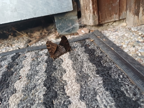
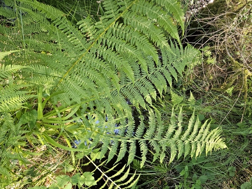
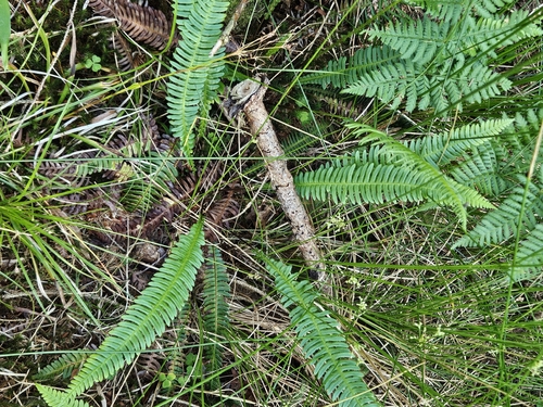
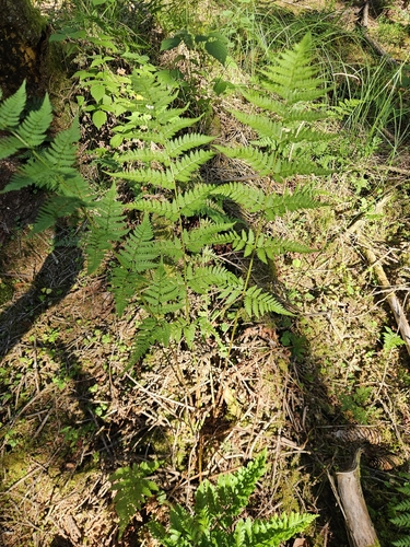
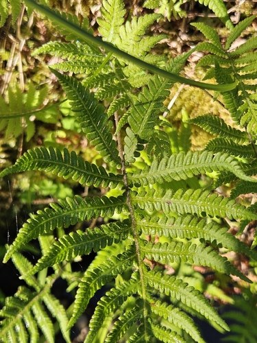
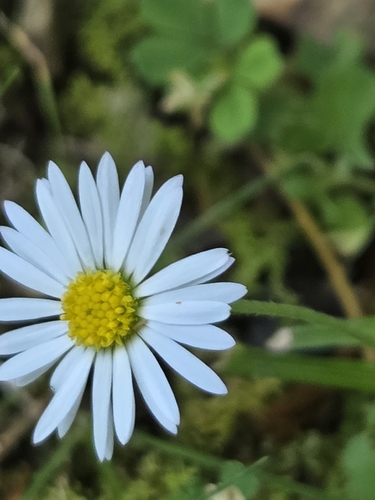
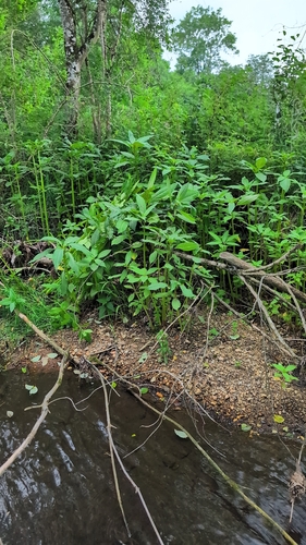
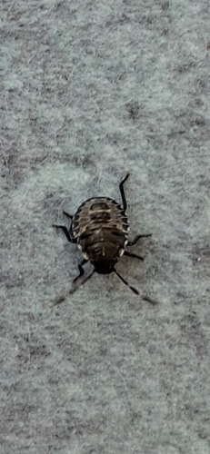
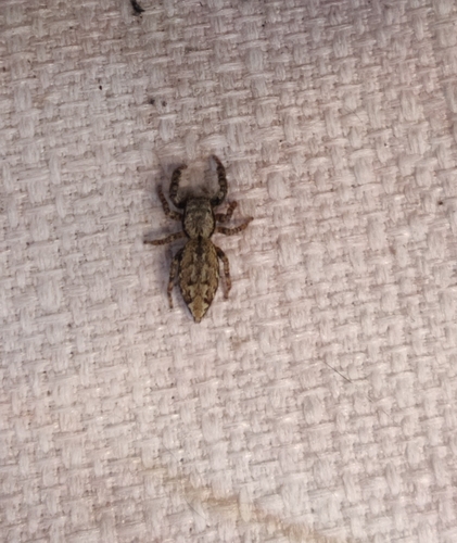
Research-grade observations from iNaturalist (within ~15 mi).
Events
Gallery
Geotagged photos within ~6 miles of Frankenburg am Hausruck, from Wikimedia Commons contributors.
 0 mi
0 mi 0 mi
0 mi 0 mi
0 mi 0 mi
0 mi 0 mi
0 mi 0.1 mi
 0.1 mi
 0.1 mi
 0.2 mi
 0.2 mi
 0.3 mi
 0.5 mi
 0.5 mi
 0.5 mi
 0.5 mi
 0.6 mi
 0.8 mi
 0.8 mi
 0.8 mi
 0.8 mi
 0.8 mi
 1 mi
1 mi 1 mi
1 mi 1.1 mi
Photos via Wikimedia Commons — see each image page for license & attribution.
Official Identifiers
Statistik Austria
- GKZ
- 41709
- Population (Wikidata)
- 4,842
- Wikidata
- Q668720
Gemeindekennziffer via Wikidata P964
Sources
- • Wikipedia
- • Wikimedia Commons
- • Wikidata
- • Open-Meteo Air Quality (CAMS)
- • USGS Earthquake Catalog (global feed)
- • GBIF (Global Biodiversity Information Facility)
- • iNaturalist
- • Open-Meteo / sunrise-sunset.org
- • Wikipedia Pageviews API
- • Statistik Austria — Gemeindekennziffer via Wikidata P964