Browse / Austria / Upper Austria / Geboltskirchen
Geboltskirchen
Upper Austriavillage
Total population
1,385
Demographic figures from Statistik Austria. Overview below cites Wikipedia and may reference a different year.
City facts
Overview
Geboltskirchen, a small village in Upper Austria, Austria, forms part of the country's settled landscape. Geboltskirchen maps to 48.153°, 13.634° — squarely within the temperate belt. Public datasets list a population of roughly 1,385. Its latitude implies a climate characterised by four distinct seasons with warm summers and cold winters. Open solar datasets indicate about 1,186 kWh/m² of solar irradiance per year, combined with sunshine for roughly 46% of daylight hours. The sections below expand on demographics, weather, terrain, hazards and nearby points of interest using publicly available datasets.
Summary composed automatically from structured open data on this page. See our Terms for details.
History & geography
Geography
Coordinates & boundaries from the US Census TIGER/Line shapefiles.
Climate
Air quality
Walkability
Amenities nearby
Wildlife & biodiversity
Most-observed species
- MistletoeViscum album L. · Magnoliopsida564
- Asian tiger mosquito, Forest day mosquitoAedes albopictus (Skuse, 1894) · Insecta419
- Tree Hole MosquitoAedes geniculatus (Olivier, 1791) · Insecta419
- Asian bush mosquitoAedes japonicus (Theobald, 1901) · Insecta418
- Korean bush mosquitoAedes koreicus (Edwards, 1917) · Insecta405
- Slow wormAnguis fragilis Linnaeus, 1758 · Squamata383
- BeechFagus sylvatica L. · Magnoliopsida247
- BugleAjuga reptans L. · Magnoliopsida247
Citizen-science & research observations from the Global Biodiversity Information Facility (GBIF).
Earthquake history
Most recent
- M 3.9 — 2021-01-203 km NNE of Ardning, Austria
- M 3.8 — 2008-08-126 km SE of Maria Schmolln, Austria
- M 2.8 — 2008-08-062 km SE of Schalchen, Austria
- M 4.1 — 2008-07-18Austria
- M 3.2 — 2008-06-224 km ESE of Micheldorf in Oberösterreich, Austria
- M 2.5 — 2008-05-218 km NE of Filzmoos, Austria
Events from the USGS Earthquake Catalog (global) (FDSN Event Web Service).
Photos
Sights & places nearby
Notable people from here
Nearby places in Upper Austria
- Schwarzgrub2.7 mi away · pop. 95
- Kohlgrube2.8 mi away · pop. 152
- Pramerdorf3.5 mi away · pop. 85
- Weibern3.8 mi away · pop. 653
- Friesam4 mi away · pop. 148
- Rottenbach4.2 mi away · pop. 1,086
- Gaspoltshofen4.7 mi away · pop. 684
- Straß4.7 mi away · pop. 91
- Innernsee5 mi away · pop. 141
- Thomasroith5 mi away · pop. 477
- Oberlemberg5.2 mi away · pop. 56
- Brunham5.4 mi away · pop. 76
Geography & sun
Elevation, sunrise/sunset and daylight from Open-Meteo. Solar climatology from NASA POWER.
Nearby airports
Public attention
Books about this place
Recent natural events nearby
Ground air-quality sensors
Recently spotted species
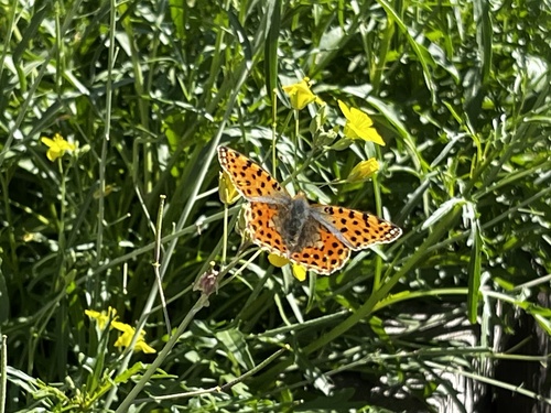
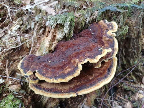

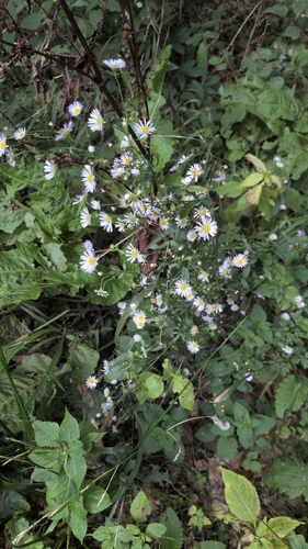
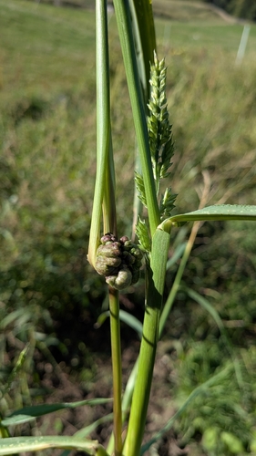
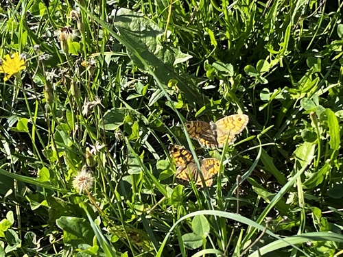
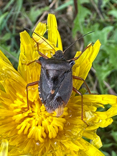
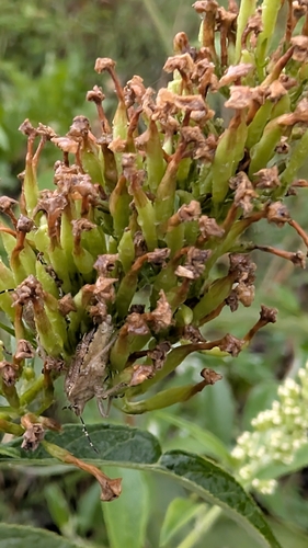
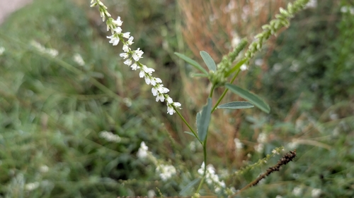
Research-grade observations from iNaturalist (within ~15 mi).
Events
Gallery
Official Identifiers
Statistik Austria
- GKZ
- 40807
- Population (Wikidata)
- 1,421
- Wikidata
- Q678704
Gemeindekennziffer via Wikidata P964
Sources
- • USGS Earthquake Catalog (global feed)
- • GBIF (Global Biodiversity Information Facility)
- • iNaturalist
- • Open-Meteo / sunrise-sunset.org
- • Statistik Austria — Gemeindekennziffer via Wikidata P964