Browse / Austria / Burgenland / Hackerberg
Hackerberg
Burgenlandvillage
Demographic figures from Statistik Austria. Overview below cites Wikipedia and may reference a different year.
City facts
Overview
Hackerberg is a village in Burgenland, Austria. Up-to-date population figures for this locality are not available in the open datasets we monitor. On the world map it falls within the Eastern Hemisphere, specifically at 47.196°, 16.107°. Its latitude implies a climate characterised by four distinct seasons with warm summers and cold winters. Solar-resource estimates put the area at about 1,256 kWh/m² of solar irradiance per year with sunshine for roughly 49% of daylight hours. Additional figures on demographics, climate, geography and points of interest appear in the sections that follow, all drawn from open public datasets.
Summary composed automatically from structured open data on this page. See our Terms for details.
History & geography
Geography
Coordinates & boundaries from the US Census TIGER/Line shapefiles.
Climate
Air quality
Walkability
Amenities nearby
Wildlife & biodiversity
Earthquake history
Photos
Sights & places nearby
Notable people from here


People born within ~10 km, from Wikidata (CC0). Click any name for their Wikipedia article.
Geography & sun
Elevation, sunrise/sunset and daylight from Open-Meteo. Solar climatology from NASA POWER.
Nearby airports
Public attention
Books about this place
Recent natural events nearby
Ground air-quality sensors
Recently spotted species








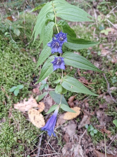
Research-grade observations from iNaturalist (within ~15 mi).
Events
Gallery
Official Identifiers
Statistik Austria
- GKZ
- 10418
- Population (Wikidata)
- 373
- Wikidata
- Q372167
Gemeindekennziffer via Wikidata P964
Sources
- • Wikidata
- • iNaturalist
- • Open-Meteo / sunrise-sunset.org
- • Statistik Austria — Gemeindekennziffer via Wikidata P964