Browse / Austria / Tyrol / Hall in Tirol
Hall in Tirol
Tyroltown

Hall in Tirol
Total population
14,418
Demographic figures from Statistik Austria. Overview below cites Wikipedia and may reference a different year.
City facts
Sister cities
Facts from Wikidata (CC0).
Overview
Hall in Tirol is a town in the Innsbruck-Land district of Tyrol, Austria. Located at an altitude of 574 m, about 5 km (3 mi) east of the state's capital Innsbruck in the Inn valley, it has a population of 14,771.
Read more on WikipediaHistory & geography
History
Hall in the County of Tyrol was first mentioned as a salina (saltern) near Thaur castle in a 1232 deed. The current name dates back to 1256, and similarly to Halle, Hallein, Schwäbisch Hall or Hallstatt is derived from the Celtic word for salt. Since the 13th century, the salt mine at Absam in the Hall Valley north of the town formed the main industry of the town and its surroundings. The first adit was laid out in 1272 at the behest of Count Meinhard II of Tyrol, with the brine channeled by a 10 km (6 mi) long pipeline to the evaporation pond at Hall. The importance of the salt industry, which exported goods as far as Switzerland, the Black Forest, and the Rhine valley, is reflected in Hall's coat of arms, which shows two lions holding a cask of salt. In 1303, Hall became a town. The rights that came with this, as well as the business associated with trading from Hall downriver on Inn and Danube, turned it into the leading market and trading place in the northern parts of Tyrol. Its development suffered a serious setback in 1447, when large parts of the upper town area were razed by a fire. In 1477, it got the right of coinage, when the Tyrolian mint was moved from Meran to Hall. In 1486, the mint produced the first large silver coin Guldengroschen in Europe. In the 16th century, the mint in Hall also introduced the world's first automated coining machine. Today a reconstruction of this revolutionary machine can be seen in the Hall Mint Museum in the Burg Hasegg. In the 15th and 16th centuries, Hall was one of the most important towns in the Habsburg Empire. This period saw the construction of many of the churches, monasteries and convents that still shape the appearance of the town. Today Hall has the biggest intact old town in the western part of…
Excerpted from the corresponding Wikipedia article (CC BY-SA).
Geography
Coordinates & boundaries from the US Census TIGER/Line shapefiles.
Climate
10-year averages from ERA5 reanalysis (Open-Meteo).
Air quality
Walkability
Amenities nearby
Wildlife & biodiversity
Most-observed species
- Narrow-leaved RagwortSenecio inaequidens DC. · Magnoliopsida4,086
- Eurasian BlackbirdTurdus merula Linnaeus, 1758 · Aves2,799
- Carrion CrowCorvus corone Linnaeus, 1758 · Aves2,439
- Asian tiger mosquito, Forest day mosquitoAedes albopictus (Skuse, 1894) · Insecta2,094
- Tree Hole MosquitoAedes geniculatus (Olivier, 1791) · Insecta2,069
- Asian bush mosquitoAedes japonicus (Theobald, 1901) · Insecta2,043
- Great TitParus major Linnaeus, 1758 · Aves2,042
- Korean bush mosquitoAedes koreicus (Edwards, 1917) · Insecta1,989
Citizen-science & research observations from the Global Biodiversity Information Facility (GBIF).
Earthquake history
Most recent
- M 3.1 — 2026-10-091 km ESE of Rum, Austria
- M 3.5 — 2026-09-260 km NNW of Baumkirchen, Austria
- M 2.5 — 2021-10-035 km NNE of Silandro, Italy
- M 3.7 — 2021-08-161 km S of Niederau, Austria
- M 3.6 — 2020-08-085 km SE of Gramais, Austria
- M 3.8 — 2019-10-224 km SE of Ebbs, Austria
Events from the USGS Earthquake Catalog (global) (FDSN Event Web Service).
Photos
Sights & places nearby
Notable people from here


People born within ~10 km, from Wikidata (CC0). Click any name for their Wikipedia article.
Geography & sun
Elevation, sunrise/sunset and daylight from Open-Meteo. Solar climatology from NASA POWER.
Nearby airports
Public attention
Pageview totals from the Wikimedia Pageviews API.
Books about Hall in Tirol
Search results from Open Library.
Recent natural events nearby
Ground air-quality sensors
Recently spotted species
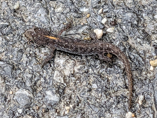
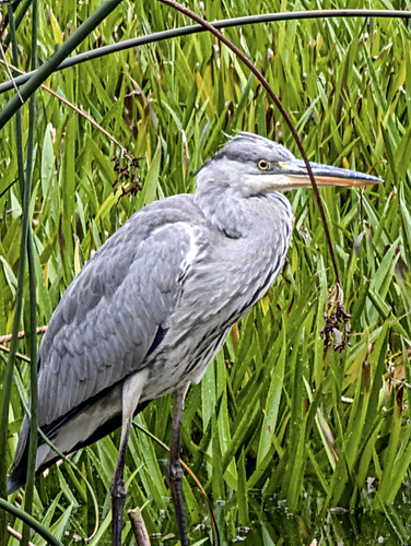
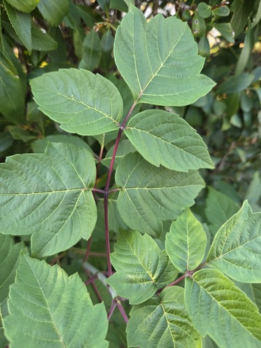
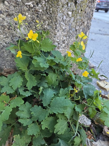
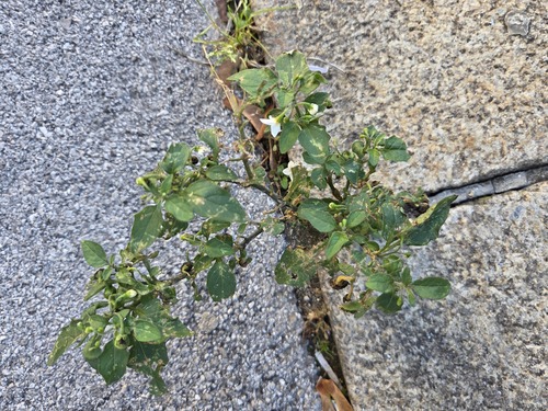
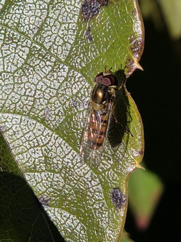
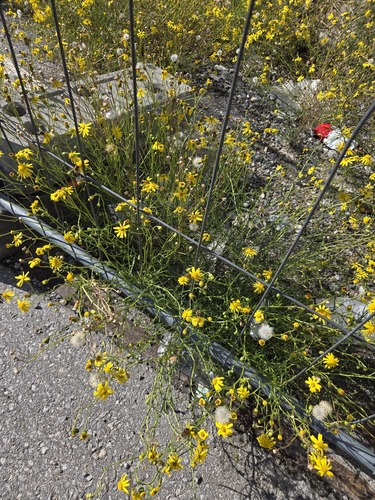
Research-grade observations from iNaturalist (within ~15 mi).
Events
Gallery
Geotagged photos within ~6 miles of Hall in Tirol, from Wikimedia Commons contributors.


Photos via Wikimedia Commons — see each image page for license & attribution.
Official Identifiers
Statistik Austria
- GKZ
- 70354
- Population (Wikidata)
- 14,771
- Wikidata
- Q302745
Gemeindekennziffer via Wikidata P964
Sources
- • Wikipedia
- • Open-Meteo (ERA5 reanalysis)
- • Wikimedia Commons
- • Wikidata
- • USGS Earthquake Catalog (global feed)
- • GBIF (Global Biodiversity Information Facility)
- • iNaturalist
- • Open-Meteo / sunrise-sunset.org
- • Wikipedia Pageviews API
- • Open Library
- • Statistik Austria — Gemeindekennziffer via Wikidata P964