Browse / Austria / Vorarlberg / Hohenweiler
Hohenweiler
Vorarlbergvillage

Hohenweiler
Total population
1,409
Air quality index
Demographic figures from Statistik Austria. Overview below cites Wikipedia and may reference a different year.
City facts
Facts from Wikidata (CC0).
Overview
Hohenweiler is a municipality in the district of Bregenz in the Austrian state of Vorarlberg.
Read more on WikipediaHistory & geography
Geography
Coordinates & boundaries from the US Census TIGER/Line shapefiles.
Climate
Air quality
Current readings from Open-Meteo Air Quality API (Copernicus CAMS European reanalysis).
Walkability
Amenities nearby
Wildlife & biodiversity
Most-observed species
- Annual FleabaneErigeron annuus (L.) Pers. · Magnoliopsida5,041
- Butterfly-bushBuddleja davidii Franch. · Magnoliopsida2,619
- Carrion CrowCorvus corone Linnaeus, 1758 · Aves2,618
- Gray/Purple HeronArdea cinerea Linnaeus, 1758 · Aves2,469
- MallardAnas platyrhynchos Linnaeus, 1758 · Aves2,424
- Mute SwanCygnus olor (J.F.Gmelin, 1789) · Aves2,311
- Eurasian BlackbirdTurdus merula Linnaeus, 1758 · Aves2,238
- Black-headed GullChroicocephalus ridibundus (Linnaeus, 1766) · Aves2,179
Citizen-science & research observations from the Global Biodiversity Information Facility (GBIF).
Earthquake history
Most recent
- M 3.7 — 2026-04-264 km N of Quarten, Switzerland
- M 4.2 — 2024-06-042 km NNW of Unteriberg, Switzerland
- M 3.8 — 2022-09-012 km WSW of Sevelen, Switzerland
- M 4 — 2020-10-255 km ESE of Ennenda, Switzerland
- M 3.6 — 2020-08-085 km SE of Gramais, Austria
- M 3.8 — 2018-02-014 km N of Innerbraz, Austria
Events from the USGS Earthquake Catalog (global) (FDSN Event Web Service).
Photos
Sights & places nearby
Notable people from here


People born within ~10 km, from Wikidata (CC0). Click any name for their Wikipedia article.
Nearby places in Vorarlberg
- Möggers-Weienried2.1 mi away
- Hörbranz2.7 mi away · pop. 6,674
- Eichenberg3.6 mi away · pop. 422
- Lochau4.2 mi away · pop. 6,530
- Langen bei Bregenz5.9 mi away · pop. 1,503
- Thal5.9 mi away · pop. 349
- Sulzberg7.7 mi away · pop. 1,836
- Fußach9.3 mi away · pop. 3,932
- Alberschwende9.8 mi away · pop. 3,223
- Schwarzach9.9 mi away · pop. 3,898
- Langenegg9.9 mi away · pop. 1,162
- Müselbach10.2 mi away
Geography & sun
Elevation, sunrise/sunset and daylight from Open-Meteo. Solar climatology from NASA POWER.
Nearby airports
Public attention
Pageview totals from the Wikimedia Pageviews API.
Books about this place
Recent natural events nearby
Ground air-quality sensors
Recently spotted species
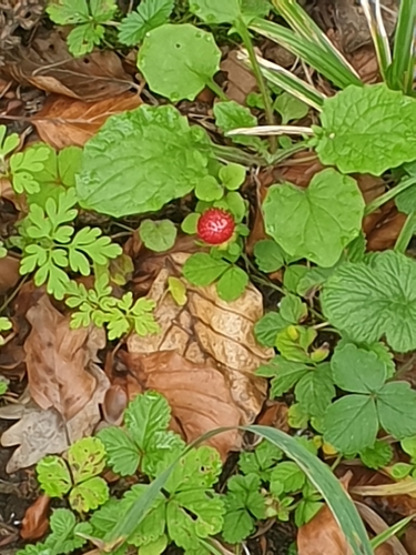
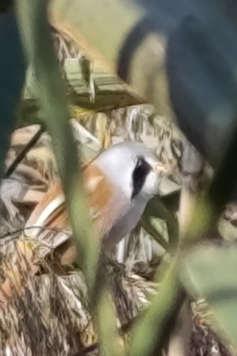
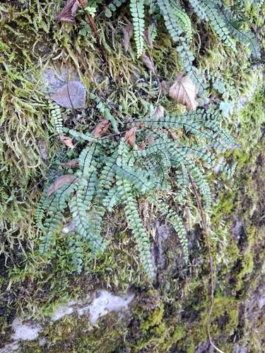
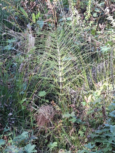
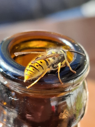
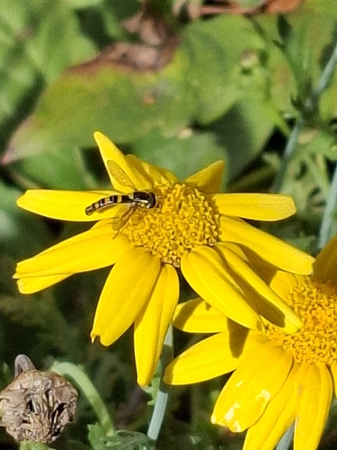
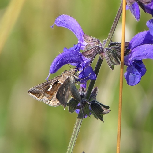
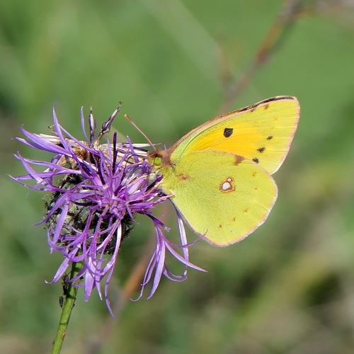
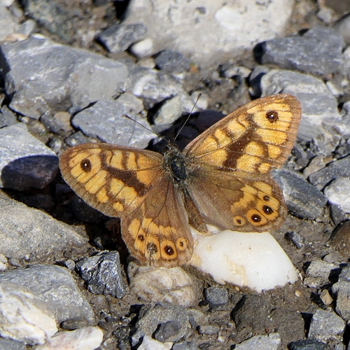
Research-grade observations from iNaturalist (within ~15 mi).
Events
Gallery
Official Identifiers
Statistik Austria
- GKZ
- 80219
- Population (Wikidata)
- 1,423
- Wikidata
- Q701004
Gemeindekennziffer via Wikidata P964
Sources
- • Wikipedia
- • Wikidata
- • Open-Meteo Air Quality (CAMS)
- • USGS Earthquake Catalog (global feed)
- • GBIF (Global Biodiversity Information Facility)
- • iNaturalist
- • Open-Meteo / sunrise-sunset.org
- • Wikipedia Pageviews API
- • Statistik Austria — Gemeindekennziffer via Wikidata P964