Browse / Austria / Tyrol / Innsbruck
Innsbruck
Tyrolcity

Innsbruck
Total population
130,585
Founded
1234
Air quality index
Demographic figures from Statistik Austria. Overview below cites Wikipedia and may reference a different year.
City facts
Sister cities
Facts from Wikidata (CC0).
Overview
Innsbruck is the capital of the Austrian state of Tyrol and the fifth-largest city in Austria. It is located on the River Inn, at its junction with the Wipp Valley, which provides access to the Brenner Pass 30 km (19 mi) to the south. The city had a population of 132,188 in 2024.
Read more on WikipediaHistory & geography
History
The earliest traces suggest initial inhabitation in the early Stone Age. Surviving pre-Roman place names show that the area has been populated continuously. In the 4th century the Romans established the army station Veldidena (the name survives in today's urban district Wilten) at Oenipons (Innsbruck), to protect the economically important commercial road from Verona-Brenner-Augsburg in their province of Raetia. The first mention of Innsbruck dates back to the name Oeni Pontum or Oeni Pons which is Latin for bridge (pons) over the Inn (Oenus), which was an important crossing point over the Inn river. The Counts of Andechs acquired the town in 1180. In 1248, the town passed into the hands of the Counts of Tyrol. The city's arms show a bird's-eye view of the Inn bridge, a design used since 1267. The route over the Brenner Pass was then a major transport and communications link between the north and the south of Europe, and the easiest route across the Alps. It was part of the Via Imperii, a medieval imperial road under special protection of the king. The revenues generated by serving as a transit station on this route enabled the city to flourish. Innsbruck became the capital of all Tyrol in 1429 and in the 15th century the city became a centre of European politics and culture as Emperor Maximilian I also resided in Innsbruck in the 1490s. The city benefited from the emperor's presence as can be seen for example in the Hofkirche. Here a funeral monument for Maximilian was planned and erected partly by his successors. The ensemble with a cenotaph and the bronze statues of real and mythical ancestors of the Habsburg emperor are one of the main artistic monuments of Innsbruck. A regular postal service between Innsbruck and Mechelen was established in 1490 by the…
Geography
Innsbruck has a humid continental climate (Köppen Dfb) since it has at least one month with a mean temperature below 0°C (32°F). Innsbruck has a larger annual temperature differences than most of Central Europe due to its location in the centre of the Continent and its position around mountainous terrains. Winters are often cold or very cold (colder than those of all major Western European cities, as well as most Central European cities) and snowy, although the foehn wind sometimes brings pronounced thaws, despite the warming effect not being as extreme as is common in Salzburg. Spring is brief; days start to get warm, often over , but nights remain cool or even freezing. Summer is highly variable and unpredictable. Days can be cool and rainy, or sunny and extremely hot, sometimes hitting . In summer, as expected for an alpine-influenced climate, the diurnal temperature variation is often very high as nights usually remain cool, being on average, but sometimes dipping as low as . The average annual temperature is . {{Weather box|location= Innsbruck University (1971–2000) |metric first= Y |single line= Y |collapsed = yes |Jan record high C = 19.8 |Feb record high C = 19.1 |Mar record high C = 24.8 |Apr record high C = 27.1 |May record high C = 32.3 |Jun record high C = 34.1 |Jul record high C = 37.4 |Aug record high C = 35.5 |Sep record high C = 31.6 |Oct record high C = 25.8 |Nov record high C = 20.9 |Dec record high C = 16.9 |year record high C = 37.4 |Jan high C = 3.7 |Feb high C = 6.5 |Mar high C = 11.5 |Apr high C = 15.2 |May high C = 20.5 |Jun high C = 22.8 |Jul high C = 24.9 |Aug high C = 24.5 |Sep high C = 20.8 |Oct high C = 15.7 |Nov high C = 8.1 |Dec high C = 3.8 |year high C = 14.8 |Jan mean C = -0.9 |Feb mean C = 0.9 |Mar mean C = 5.2 |Apr mean C = 8.7…
Excerpted from the corresponding Wikipedia article (CC BY-SA).
Geography
Coordinates & boundaries from the US Census TIGER/Line shapefiles.
Climate
Air quality
Current readings from Open-Meteo Air Quality API (Copernicus CAMS European reanalysis).
Walkability
Amenities nearby
Wildlife & biodiversity
Earthquake history
Most recent
- M 2.5 — 2021-10-035 km NNE of Silandro, Italy
- M 3.7 — 2021-08-161 km S of Niederau, Austria
- M 3.6 — 2020-08-085 km SE of Gramais, Austria
- M 3.8 — 2019-10-224 km SE of Ebbs, Austria
- M 2.5 — 2017-11-203 km SE of Medraz, Austria
- M 3.5 — 2017-11-032 km N of Telfes im Stubai, Austria
Events from the USGS Earthquake Catalog (global) (FDSN Event Web Service).
Photos
Sights & places nearby
Notable people from here


People born within ~10 km, from Wikidata (CC0). Click any name for their Wikipedia article.
Nearby places in Tyrol
- Kranebitten2.9 mi away
- Neu Götzens3.5 mi away
- Unterberg3.8 mi away
- Götzens4.3 mi away · pop. 3,761
- Patsch4.3 mi away · pop. 883
- Absam5.7 mi away · pop. 6,543
- St. Peter5.8 mi away
- Gleins6.6 mi away
- Volderwald6.8 mi away · pop. 409
- Oberperfuss7 mi away · pop. 2,712
- Oberellbögen7.6 mi away
- Kleinvolderberg7.7 mi away · pop. 210
Geography & sun
Elevation, sunrise/sunset and daylight from Open-Meteo. Solar climatology from NASA POWER.
Nearby airports
Public attention
Pageview totals from the Wikimedia Pageviews API.
Books about Innsbruck
Search results from Open Library.
Recent natural events nearby
Ground air-quality sensors
Recently spotted species
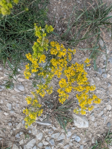
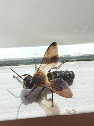

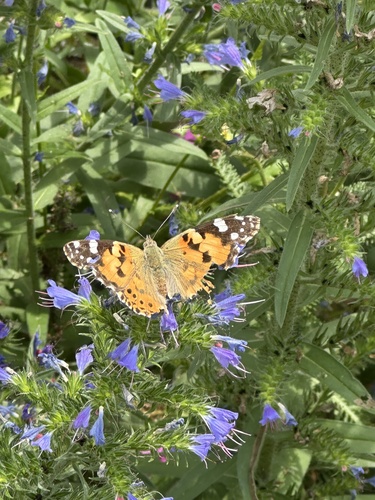

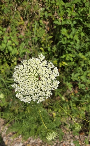
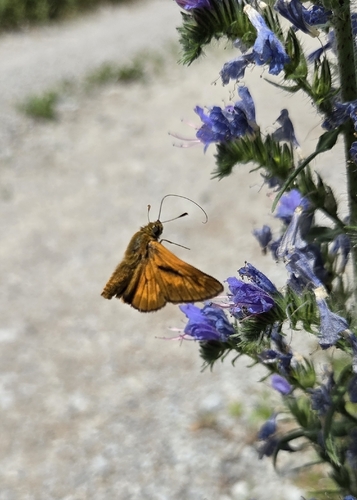
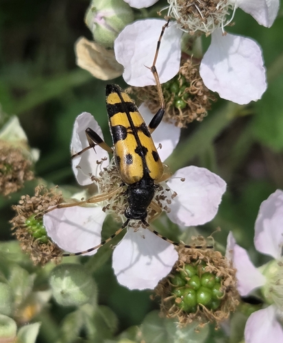

Research-grade observations from iNaturalist (within ~15 mi).
Events
Notable, recurring, and historical events associated with Innsbruck, sourced from Wikidata.
- IBSF Junior World Championships 2022Jan 1, 2022planned event
- Bobsleigh Junior European Championships 2019Jan 1, 2019recurring event edition
- Q136546172May 1, 2014recurring event edition
- Jan 13, 2005
- Jan 1, 2005
- Jan 1, 2005
- Jan 1, 2005
- Jan 1, 2005
- Jan 1, 2005
- Alpine skiing at the 1988 Winter Paralympics - Women's downhill LW2Jan 1, 1988sporting event
event at the 1988 Winter Paralympics
- Jan 1, 1988
- Jan 1, 1988
- Jan 1, 1988
- Jan 1, 1988
- Jan 1, 1988
- Jan 1, 1988
- Jan 1, 1988
- Q9337995Jan 1, 1933sporting event
Source: Wikidata (CC0).
Gallery
Geotagged photos within ~6 miles of Innsbruck, from Wikimedia Commons contributors.


.jpg)


.jpg)
.jpg)
.jpg)
.jpg)
.jpg)

.jpg)
.jpg)
.jpg)
.jpg)
.jpg)
.jpg)
.jpg)
.jpg)
.jpg)
Photos via Wikimedia Commons — see each image page for license & attribution.
Official Identifiers
Statistik Austria
- GKZ
- 70101
- Population (Wikidata)
- 132,499
- Wikidata
- Q1735
Gemeindekennziffer via Wikidata P964
Sources
- • Wikipedia
- • Wikimedia Commons
- • Wikidata
- • Open-Meteo Air Quality (CAMS)
- • USGS Earthquake Catalog (global feed)
- • iNaturalist
- • Open-Meteo / sunrise-sunset.org
- • Wikipedia Pageviews API
- • Open Library
- • Statistik Austria — Gemeindekennziffer via Wikidata P964