Browse / Austria / Tyrol / Kühtai
Kühtai
Tyrolvillage

Kühtai
Total population
29
Demographic figures from Statistik Austria. Overview below cites Wikipedia and may reference a different year.
City facts
Facts from Wikidata (CC0).
Overview
Kühtai is a winter sports village in the Stubai Alps on the Kühtai Saddle between the Nedertal valley in the west and the Sellrain valley in the east. It is part of the municipality of Silz, in the district of Imst, in the Austrian state of Tyrol.
Read more on WikipediaHistory & geography
History
Originally there was a here, the Chutay ("cow alp"). This was first mentioned around 1280 in an urbarium of the counts of Tyrol. In 1497 the later Emperor Maximilian I was give the right to hunt in the area of the Kühtai. In 1622, Archduke Leopold V had the schwaighof converted into a hunting lodge and, in 1624, a road was built from Sellrain. Emperor Franz Joseph I bought the hunting lodge back in 1893 and used it as a base for hunting Alpine marmots. The property passed via his granddaughter, Hedwig to the counts of Stolberg-Stolberg, who turned it into a winter sports hotel. In 2016 it was modernised by its new owners. As early as the 1930s climbers and summer holidaymakers stayed at Kühtai. The hunting lodge was converted in the 19th century into a schloss hotel. The increasing number of skiers in the early 20th century soon reached Austria-Hungary and, along with that, the Kühtai. Under the direction of the k.u.k. Works and Farming Ministry (Arbeits- und Ackerbauministerium) the place was opened up as a ski resort in 1909. After the Second World War, Kühtai grew rapidly into a hotel village and is today a popular hiking and skiing area. In 1976/77 the church was built. In the course of the 2012 Winter Youth Olympics, the village hosted snowboarding and freestyle competitions. At the end of December 2014, the women's 2014/15 Alpine Ski World Cup took place here for the first time (as a replacement for the cancelled competition in Semmering).
Excerpted from the corresponding Wikipedia article (CC BY-SA).
Geography
Coordinates & boundaries from the US Census TIGER/Line shapefiles.
Climate
Air quality
Walkability
Amenities nearby
Wildlife & biodiversity
Earthquake history
Photos
Sights & places nearby
Notable people from here


People born within ~10 km, from Wikidata (CC0). Click any name for their Wikipedia article.
Geography & sun
Elevation, sunrise/sunset and daylight from Open-Meteo. Solar climatology from NASA POWER.
Nearby airports
Public attention
Pageview totals from the Wikimedia Pageviews API.
Books about this place
Recent natural events nearby
Ground air-quality sensors
Recently spotted species
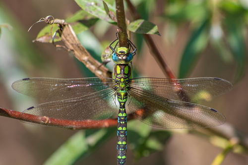
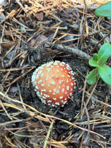
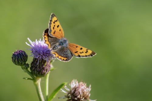
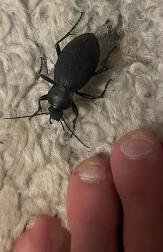
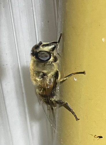
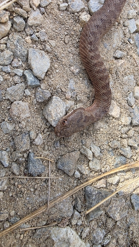
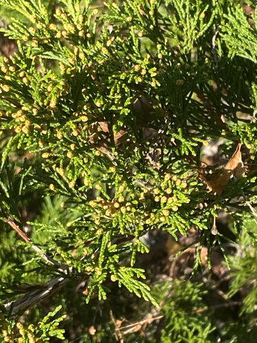
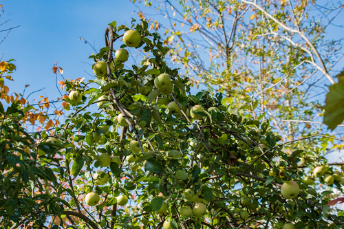
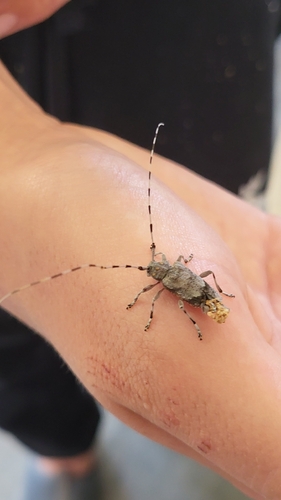
Research-grade observations from iNaturalist (within ~15 mi).
Events
Gallery
Sources
- • Wikipedia
- • Wikidata
- • iNaturalist
- • Open-Meteo / sunrise-sunset.org
- • Wikipedia Pageviews API