Browse / Austria / Upper Austria / Lahof
Lahof
Upper Austriavillage
Total population
111
Demographic figures from Statistik Austria. Overview below cites Wikipedia and may reference a different year.
City facts
Overview
Within Upper Austria, Austria, Lahof stands as a small village. Coordinates of 48.246°, 13.808° situate Lahof in the temperate zone of the northern hemisphere. Recent open-data figures place its population at about 111. Climatically, locations at this latitude tend to experience four distinct seasons with warm summers and cold winters. Solar-resource estimates put the area at about 1,186 kWh/m² of solar irradiance per year with sunshine for roughly 46% of daylight hours. Further detail — demographics, climate, nearby amenities and natural-hazard data — is compiled below from public open-data sources.
Summary composed automatically from structured open data on this page. See our Terms for details.
History & geography
Geography
Coordinates & boundaries from the US Census TIGER/Line shapefiles.
Climate
Air quality
Walkability
Amenities nearby
Wildlife & biodiversity
Most-observed species
- Asian tiger mosquito, Forest day mosquitoAedes albopictus (Skuse, 1894) · Insecta445
- Asian bush mosquitoAedes japonicus (Theobald, 1901) · Insecta434
- Tree Hole MosquitoAedes geniculatus (Olivier, 1791) · Insecta421
- Korean bush mosquitoAedes koreicus (Edwards, 1917) · Insecta407
- Eurasian BlackbirdTurdus merula Linnaeus, 1758 · Aves316
- Common NettleUrtica dioica L. · Magnoliopsida261
- Sycamore [tree]Acer pseudoplatanus L. · Magnoliopsida259
- Great TitParus major Linnaeus, 1758 · Aves258
Citizen-science & research observations from the Global Biodiversity Information Facility (GBIF).
Earthquake history
Most recent
- M 3.9 — 2021-01-203 km NNE of Ardning, Austria
- M 3.8 — 2008-08-126 km SE of Maria Schmolln, Austria
- M 2.8 — 2008-08-062 km SE of Schalchen, Austria
- M 4.1 — 2008-07-18Austria
- M 3.2 — 2008-06-224 km ESE of Micheldorf in Oberösterreich, Austria
- M 2.5 — 2008-05-218 km NE of Filzmoos, Austria
Events from the USGS Earthquake Catalog (global) (FDSN Event Web Service).
Photos
Sights & places nearby
Notable people from here


People born within ~10 km, from Wikidata (CC0). Click any name for their Wikipedia article.
Nearby places in Upper Austria
- Kroisbach0.4 mi away · pop. 120
- Steindlberg0.8 mi away
- Zelli1.6 mi away · pop. 42
- Parz1.9 mi away · pop. 56
- Fürth2.4 mi away · pop. 97
- Taufkirchen an der Trattnach2.7 mi away
- St. Georgen bei Grieskirchen2.8 mi away · pop. 136
- Straßfeld2.9 mi away · pop. 210
- Widldorf3.4 mi away · pop. 93
- Sommerfeld3.7 mi away · pop. 63
- Gassen3.9 mi away · pop. 110
- Ruhringsdorf4.4 mi away · pop. 101
Geography & sun
Elevation, sunrise/sunset and daylight from Open-Meteo. Solar climatology from NASA POWER.
Nearby airports
Public attention
Books about this place
Recent natural events nearby
Ground air-quality sensors
Recently spotted species
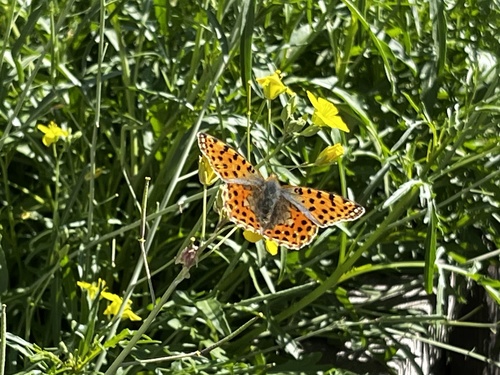
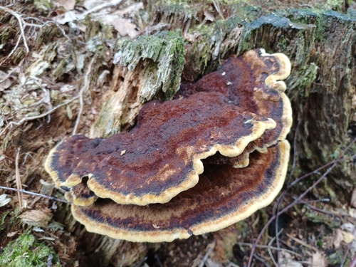
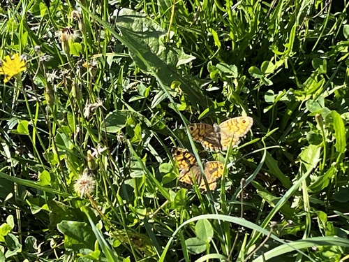

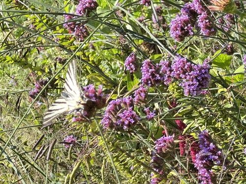

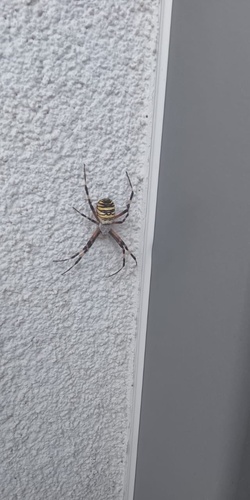
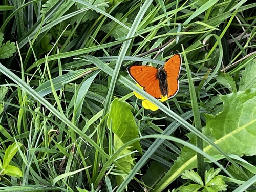
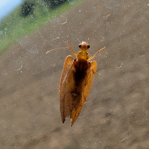
Research-grade observations from iNaturalist (within ~15 mi).
Events
Gallery
Sources
- • Wikidata
- • USGS Earthquake Catalog (global feed)
- • GBIF (Global Biodiversity Information Facility)
- • iNaturalist
- • Open-Meteo / sunrise-sunset.org