Browse / Austria / Carinthia / Lavamünd
Lavamünd
Carinthiavillage

Lavamünd
Total population
2,787
Demographic figures from Statistik Austria. Overview below cites Wikipedia and may reference a different year.
City facts
Facts from Wikidata (CC0).
Overview
Lavamünd is a market town in the district of Wolfsberg in the Austrian state of Carinthia.
Read more on WikipediaHistory & geography
History
The region in the Drava valley was already settled in Roman times. The estates at the confluence with the Lavant River were mentioned in a 1091 deed of donation, issued by the local Sponheim count Engelbert I in favour of newly established Saint Paul's Abbey. The market town itself arose in the 13th century; it was first documented in 1334. Habsburg Emperor Frederick III vested the citizens with high justice rights (Blutgerichtsbarkeit) in 1461. The present-day municipality was established in 1850. Upon the 1920 Carinthian plebiscite, the neighbouring area of Dravograd (Unterdrauburg) fell to the Kingdom of Yugoslavia. 96.9% of the Lavamünd citizens voted to remain with the Austrian Republic.
Geography
Lavamünd lies in the southeast of Carinthia, close to the border with Slovenia (Slovene Carinthia). It is situated at the confluence of the Lavant and Drava rivers. In the northeast, the Soboth Pass leads across the Koralpe range to Eibiswald in Styria. At an elevation of AA, the area is the lowest part of Carinthia. The municipal area consists of the cadastral communities of Ettendorf, Großlamprechtsberg, Hart (Dobrova), Lamprechtsberg-Hartneidstein, Lavamünd proper, Lorenzenberg (Šentlovrenc), Magdalensberg, Rabenstein (Rabštajn pri Labotu), Weißenberg, and Wunderstätten (Drumlje pri Labotu).
Excerpted from the corresponding Wikipedia article (CC BY-SA).
Geography
Coordinates & boundaries from the US Census TIGER/Line shapefiles.
Climate
Air quality
Walkability
Amenities nearby
Wildlife & biodiversity
Earthquake history
Photos
Sights & places nearby
Notable people from here


People born within ~10 km, from Wikidata (CC0). Click any name for their Wikipedia article.
Nearby places in Carinthia
- Pfarrdorf0.6 mi away · pop. 348
- Pudlach1.5 mi away · pop. 334
- Lamprechtsberg2.3 mi away · pop. 230
- Lorenzenberg2.4 mi away · pop. 60
- Schwarzenbach2.5 mi away · pop. 112
- Unterdorf/Dolnja vas4 mi away · pop. 42
- Schwabegg/Žvabek4.5 mi away · pop. 197
- Oberdorf/Gornja vas4.5 mi away · pop. 148
- Weißenstein4.7 mi away · pop. 671
- St. Paul im Lavanttal5.3 mi away · pop. 1,955
- Maria Rojach7.1 mi away · pop. 336
- Einersdorf/Nonča vas7.5 mi away · pop. 286
Geography & sun
Elevation, sunrise/sunset and daylight from Open-Meteo. Solar climatology from NASA POWER.
Nearby airports
Public attention
Pageview totals from the Wikimedia Pageviews API.
Books about this place
Recent natural events nearby
Ground air-quality sensors
Recently spotted species
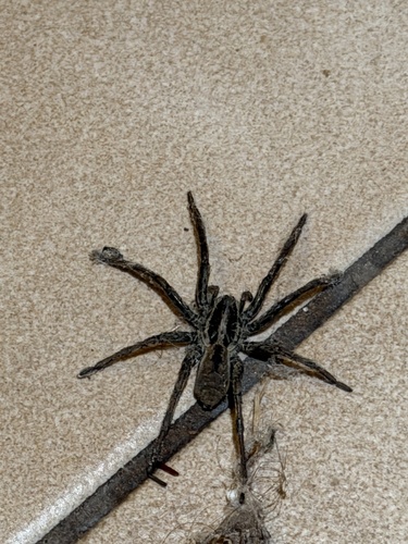
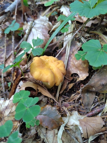
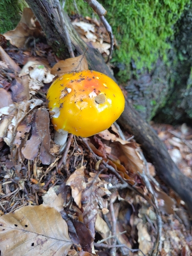
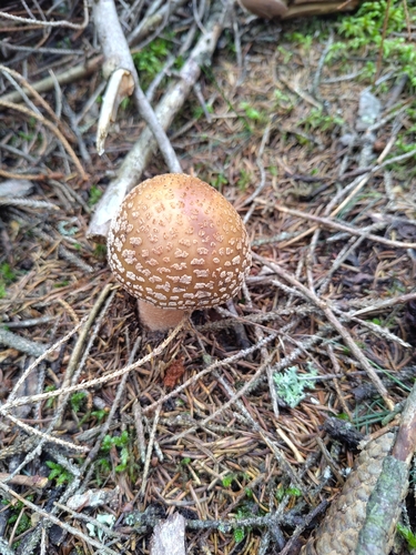
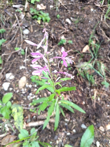
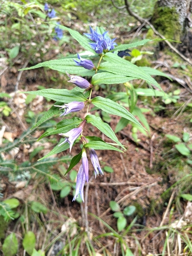
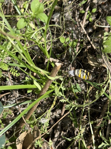
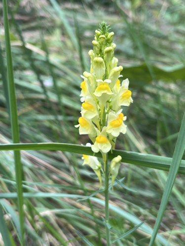
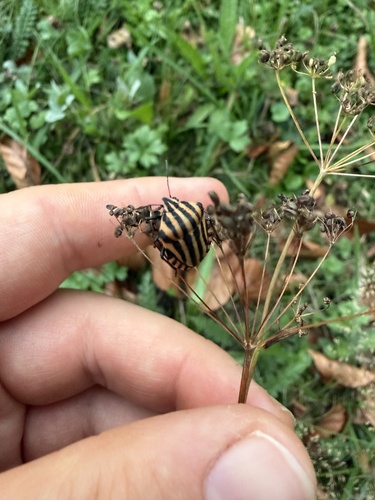
Research-grade observations from iNaturalist (within ~15 mi).
Events
Gallery
Official Identifiers
Statistik Austria
- GKZ
- 20909
- Population (Wikidata)
- 2,941
- Wikidata
- Q875816
Gemeindekennziffer via Wikidata P964
Sources
- • Wikipedia
- • Wikidata
- • iNaturalist
- • Open-Meteo / sunrise-sunset.org
- • Wikipedia Pageviews API
- • Statistik Austria — Gemeindekennziffer via Wikidata P964