Browse / Austria / Upper Austria / Luftenberg
Luftenberg
Upper Austriavillage

Luftenberg
Total population
4,108
Air quality index
Demographic figures from Statistik Austria. Overview below cites Wikipedia and may reference a different year.
City facts
Facts from Wikidata (CC0).
Overview
Luftenberg an der Donau is a municipality and small market town in the district of Perg in the Austrian state of Upper Austria. As of 2015, the town had 3,979 inhabitants.
Read more on WikipediaHistory & geography
Geography
Coordinates & boundaries from the US Census TIGER/Line shapefiles.
Climate
Air quality
Current readings from Open-Meteo Air Quality API (Copernicus CAMS European reanalysis).
Walkability
Amenities nearby
Wildlife & biodiversity
Most-observed species
- Asian tiger mosquito, Forest day mosquitoAedes albopictus (Skuse, 1894) · Insecta2,346
- Asian bush mosquitoAedes japonicus (Theobald, 1901) · Insecta2,171
- Tree Hole MosquitoAedes geniculatus (Olivier, 1791) · Insecta2,128
- Korean bush mosquitoAedes koreicus (Edwards, 1917) · Insecta2,055
- Great TitParus major Linnaeus, 1758 · Aves1,051
- Eurasian BlackbirdTurdus merula Linnaeus, 1758 · Aves979
- MallardAnas platyrhynchos Linnaeus, 1758 · Aves885
- Carrion CrowCorvus corone Linnaeus, 1758 · Aves879
Citizen-science & research observations from the Global Biodiversity Information Facility (GBIF).
Earthquake history
Most recent
- M 3.9 — 2021-01-203 km NNE of Ardning, Austria
- M 3.8 — 2008-08-126 km SE of Maria Schmolln, Austria
- M 2.8 — 2008-08-062 km SE of Schalchen, Austria
- M 3.2 — 2008-06-224 km ESE of Micheldorf in Oberösterreich, Austria
- M 2.9 — 2008-03-168 km W of Windischgarsten, Austria
- M 2.7 — 2006-12-150 km NE of Bad Ischl, Austria
Events from the USGS Earthquake Catalog (global) (FDSN Event Web Service).
Photos
Sights & places nearby
Notable people from here


People born within ~10 km, from Wikidata (CC0). Click any name for their Wikipedia article.
Nearby places in Upper Austria
- St. Georgen an der Gusen1.6 mi away · pop. 3,779
- Lungitz3.2 mi away · pop. 139
- Asten3.7 mi away · pop. 6,219
- Klendorf3.9 mi away · pop. 147
- Bach3.9 mi away · pop. 40
- Enghagen4.1 mi away
- Katsdorf4.1 mi away · pop. 2,925
- Greinsberg4.3 mi away · pop. 44
- Holzwiesen4.4 mi away · pop. 51
- Innertreffling4.5 mi away · pop. 483
- Marbach4.6 mi away · pop. 139
- Samesleiten4.6 mi away · pop. 194
Geography & sun
Elevation, sunrise/sunset and daylight from Open-Meteo. Solar climatology from NASA POWER.
Nearby airports
Public attention
Pageview totals from the Wikimedia Pageviews API.
Books about this place
Recent natural events nearby
Ground air-quality sensors
Recently spotted species


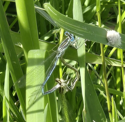

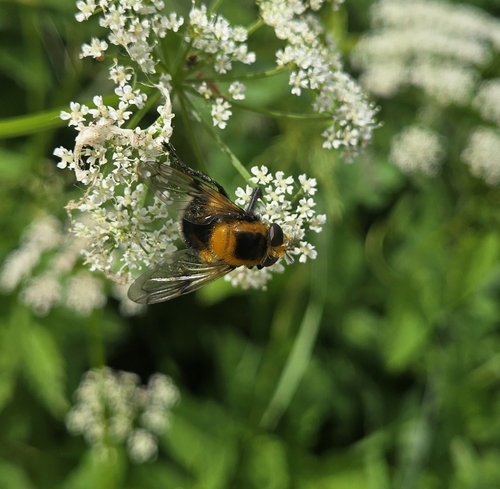


Research-grade observations from iNaturalist (within ~15 mi).
Events
Gallery
Geotagged photos within ~6 miles of Luftenberg, from Wikimedia Commons contributors.
 0.9 mi
 0.9 mi
 1.1 mi
 1.1 mi
 1.3 mi
 1.3 mi
 1.4 mi
 1.4 mi
 1.4 mi
 1.4 mi
 1.4 mi
 1.4 mi
 1.4 mi
 1.5 mi
 1.5 mi
 1.5 mi
 1.5 mi
 1.6 mi
 1.6 mi
 1.6 mi
 1.6 mi
 1.6 mi
 1.6 mi
 1.6 mi
Photos via Wikimedia Commons — see each image page for license & attribution.
Sources
- • Wikipedia
- • Wikimedia Commons
- • Wikidata
- • Open-Meteo Air Quality (CAMS)
- • USGS Earthquake Catalog (global feed)
- • GBIF (Global Biodiversity Information Facility)
- • iNaturalist
- • Open-Meteo / sunrise-sunset.org
- • Wikipedia Pageviews API