Browse / Austria / Tyrol / Neustift im Stubaital
Neustift im Stubaital
Tyroltown

Neustift im Stubaital
Total population
4,600
Demographic figures from Statistik Austria. Overview below cites Wikipedia and may reference a different year.
City facts
Facts from Wikidata (CC0).
Overview
Neustift im Stubaital is a municipality in the district Innsbruck-Land in the Austrian state of Tyrol. It is the third largest municipality of Tyrol in area. It is a major tourist centre, with more than 1 million overnight stays per year.
Read more on WikipediaHistory & geography
History
Around 1000, the Stubaital was first mentioned in writing as Stupeia. By 1400, the district of Stubai was composed of five small communities: Telfes, Schönberg, Mieders, Fulpmes, and "im Tal" ("in the valley"). Although the name Neustift appears in records from the 14th century as "Niwenstift im tal ze Stubai", centuries passed before the modern name Neustift prevailed over im Tal as the name of the community. The inhabitants of Neustift are still known today as Tholer ("valley dwellers"). Place names in the region point to pre-Roman settlement. When Caesar Augustus and his legions pushed north in 15 BCE, the mountain people living here and their region were subjugated as the Roman province of Raetia. Subsequently, the Romans made an impact on the region through their administration and later through Christianization. Prehistoric finds from the early Bronze Age (c. 1800–1000 BCE) show that the valley was settled in ancient times. The many Rhaeto-Romance place names suggest that the German language did not prevail in the region until some time during the Middle Ages. These place names include the following: * Falbeson: val busana: pocket valley * Ranalt: rovina alta: high landslide * Pfurtschell: furcella: notch or gap * Tschangelair: cingularia: enclosure * Kartnall: curtinale: small courtyard * Kampl: campus: field During World War II, the Schutzstaffel (SS) had a mountaineering training centre in Neustift, where prisoners from the Dachau concentration camp were put to work. The emblem of the town consists of a red shield, with a central horizontal white band like the Austrian flag, and a crossbow with two central black arrows crossing each other. The crossbow is a reminiscent of the hunting trips of Emperor Maximilian to Oberbergtal.
Geography
Neustift is located 25 kilometres (15 miles) south of Innsbruck in the Stubaital or Stubai Valley. This broad valley is one of the most scenic in Tyrol. At the entrance to the valley stand massive limestone formations. Around the upper valley, peaks of gneiss and granite rise above 3,000 metres (about 10,000 feet) to areas of permanent ice. Five glaciers covering form a large glacier ski area, the Stubai Glacier. Including the facilities here and in three other ski areas, the valley has 42 cable cars and ski lifts. Neustift is connected to Innsbruck by a bus line operated by Innsbrucker Verkehrsbetriebe. Neustift im Stubaital consists of the following sections and villages: Kampl, Neder, Dorf, Scheibe, Milders, Oberberg, Stackler, Lehner, Schaller, Krössbach, Neugasteig, Gasteig, Volderau, Ranalt, and Mutterberg. The municipalities bordering on Neustift are Brenner, Fulpmes, Grinzens, Gschnitz, Längenfeld, Mühlbachl, Ratschings, Sankt Sigmund im Sellrain, Sellrain, Sölden, Telfes im Stubai, and Trins.
Excerpted from the corresponding Wikipedia article (CC BY-SA).
Geography
Coordinates & boundaries from the US Census TIGER/Line shapefiles.
Climate
Air quality
Walkability
Amenities nearby
Wildlife & biodiversity
Earthquake history
Photos
Sights & places nearby
Notable people from here
Nearby places in Tyrol
- Medraz2.7 mi away · pop. 1,053
- Fulpmes3.5 mi away · pop. 4,200
- Telfes im Stubai4.4 mi away · pop. 1,537
- Gschnitz5 mi away · pop. 437
- Mieders5.3 mi away · pop. 1,668
- Trins5.5 mi away · pop. 1,247
- Statz6.7 mi away · pop. 636
- Schönberg im Stubaital6.9 mi away · pop. 1,008
- Matrei am Brenner7 mi away · pop. 902
- Schöfens7.4 mi away
- Außerweg7.5 mi away
- Steinach am Brenner7.6 mi away · pop. 3,314
Geography & sun
Nearby airports
Public attention
Books about this place
Recent natural events nearby
Ground air-quality sensors
Recently spotted species
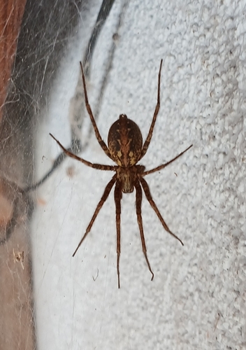
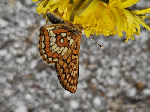
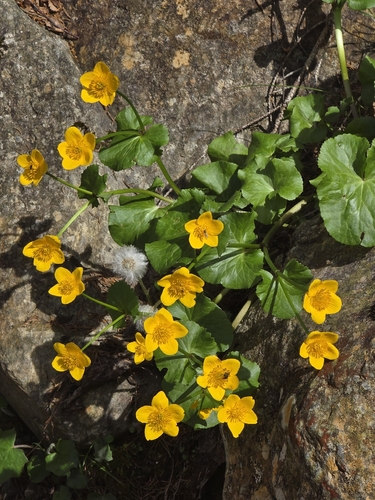
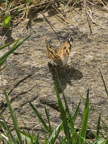
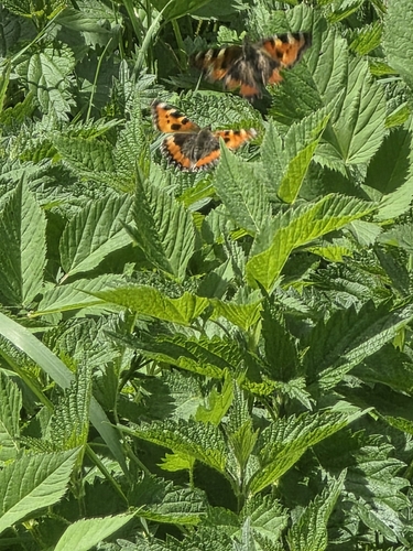
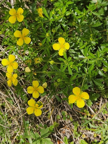
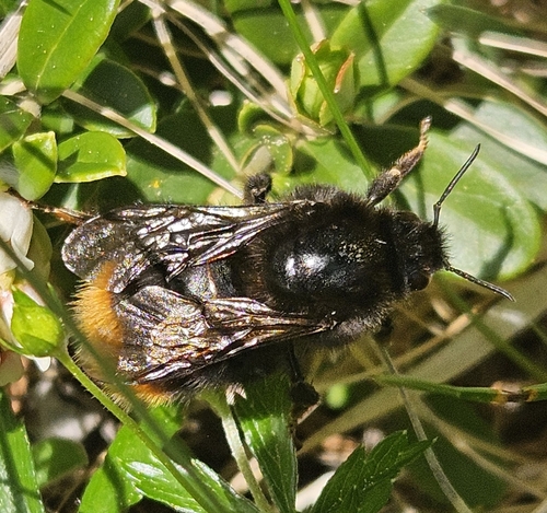
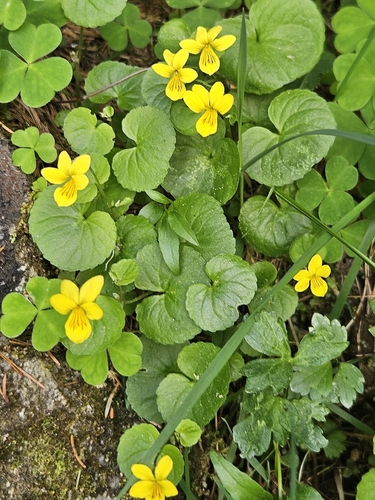
Research-grade observations from iNaturalist (within ~15 mi).
Events
Gallery
Geotagged photos within ~6 miles of Neustift im Stubaital, from Wikimedia Commons contributors.
 0 mi
0 mi 0 mi
0 mi 0 mi
0 mi.jpg) 0 mi
0 mi.jpg) 0 mi
0 mi.jpg) 0 mi
0 mi 0 mi
0 mi.jpg) 0 mi
0 mi 0.1 mi
 0.1 mi
 0.1 mi
 0.1 mi
 0.1 mi
 0.1 mi
 0.1 mi
 0.1 mi
 0.1 mi
 0.1 mi
 0.2 mi
_2718_m_-_panoramio.jpg) 0.3 mi
0.3 mi 0.3 mi
 0.4 mi
 0.4 mi
 0.4 mi
Photos via Wikimedia Commons — see each image page for license & attribution.
Official Identifiers
Statistik Austria
- GKZ
- 70334
- Population (Wikidata)
- 4,817
- Wikidata
- Q526569
Gemeindekennziffer via Wikidata P964
Sources
- • Wikipedia
- • Wikimedia Commons
- • Wikidata
- • iNaturalist
- • Statistik Austria — Gemeindekennziffer via Wikidata P964