Browse / Austria / Upper Austria / Ottnang am Hausruck
Ottnang am Hausruck
Upper Austriavillage

Featured view
Ottnang am Hausruck
Total population
3,859
Elevation554 m
Land area30 km²
Coordinates48.10°, 13.66°
Demographic figures from Statistik Austria. Overview below cites Wikipedia and may reference a different year.
Loading additional data from public sources…0 / 11
CensusWikipediaWeatherPlacesPeopleEnvironmentHealth & SchoolsRelatedGeography & CultureLive MonitoringEvents & Gallery
0% completeCity facts
Facts from Wikidata (CC0).
Overview
Ottnang am Hausruck is a municipality in the district of Vöcklabruck in the Austrian state of Upper Austria.
Read more on WikipediaHistory & geography
Geography
Latitude
48.0957
Longitude
13.6595
Water area
—
Coordinates & boundaries from the US Census TIGER/Line shapefiles.
Climate
Air quality
Walkability
Amenities nearby
Wildlife & biodiversity
Earthquake history
Photos
Sights & places nearby
Notable people from here
Nearby places in Upper Austria
- Kohlgrube2 mi away · pop. 152
- Thomasroith2.2 mi away · pop. 477
- Friesam2.5 mi away · pop. 148
- Altensam4.3 mi away · pop. 155
- Höck4.6 mi away · pop. 137
- Lehen4.6 mi away
- Oberau4.7 mi away · pop. 80
- Gaspoltshofen4.8 mi away · pop. 684
- Niederthalheim5 mi away · pop. 435
- Schwarzgrub5.5 mi away · pop. 95
- Aichkirchen6.2 mi away
- Weibern6.4 mi away · pop. 653
Geography & sun
Avg solar (kWh/m²/day)
3.25
Annual solar (kWh/m²)
1,186
Elevation, sunrise/sunset and daylight from Open-Meteo. Solar climatology from NASA POWER.
Nearby airports
Public attention
Wikipedia views (last 30 days)
29
Avg daily Wikipedia views
1
Attention level
Obscure
Pageview totals from the Wikimedia Pageviews API.
Books about this place
Recent natural events nearby
Ground air-quality sensors
Recently spotted species
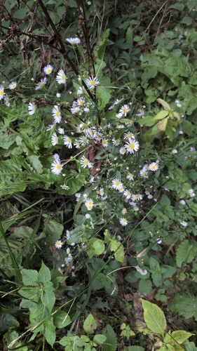
annual fleabane
Erigeron annuus
Seen 2026-09-20
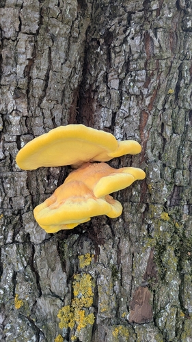
chicken of the woods
Laetiporus sulphureus
Seen 2026-09-20
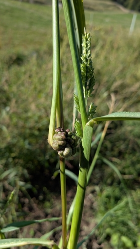
Ustilago trichophora
Ustilago trichophora
Seen 2026-09-20
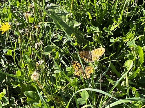
Wall Brown
Lasiommata megera
Seen 2026-09-19
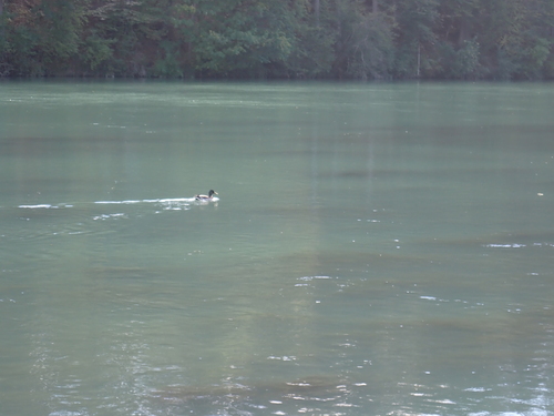
Mallard
Anas platyrhynchos
Seen 2026-09-16
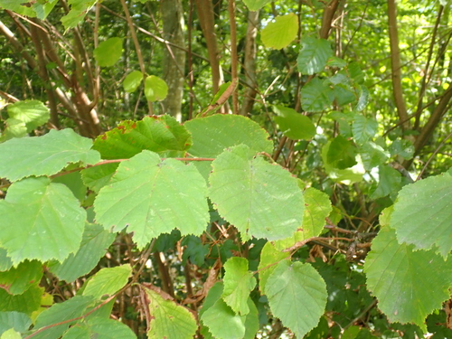
common hazel
Corylus avellana
Seen 2026-09-16
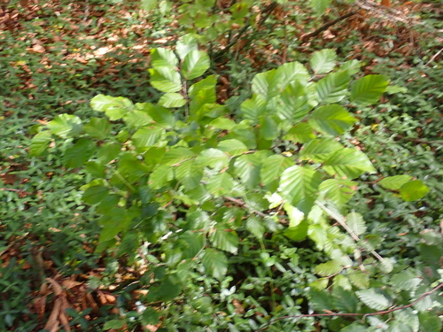
European beech
Fagus sylvatica
Seen 2026-09-16
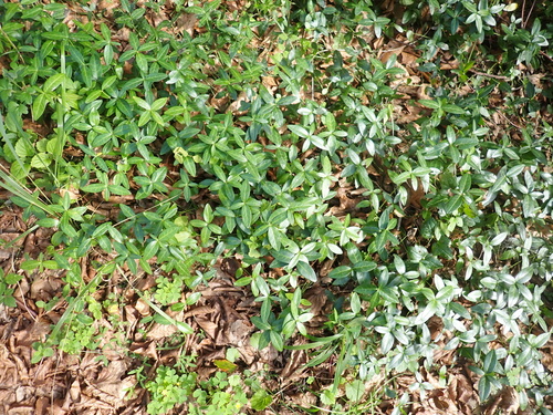
lesser periwinkle
Vinca minor
Seen 2026-09-16
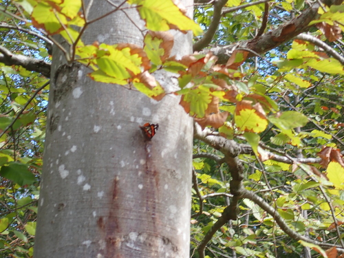
Red Admiral
Vanessa atalanta
Seen 2026-09-16
Research-grade observations from iNaturalist (within ~15 mi).
Events
Gallery
Official Identifiers
Statistik Austria
- GKZ
- 41722
- Population (Wikidata)
- 3,990
- Wikidata
- Q611218
Gemeindekennziffer via Wikidata P964
Sources
- • Wikipedia
- • Wikidata
- • iNaturalist
- • Open-Meteo / sunrise-sunset.org
- • Wikipedia Pageviews API
- • Statistik Austria — Gemeindekennziffer via Wikidata P964