Browse / Austria / Upper Austria / Pfaffstätt
Pfaffstätt
Upper Austriavillage
Total population
935
Demographic figures from Statistik Austria. Overview below cites Wikipedia and may reference a different year.
City facts
Overview
Found in Upper Austria, Austria, Pfaffstätt is classified as a small village in public datasets. Census-style estimates put the resident count near 935. Coordinates of 48.075°, 13.145° situate Pfaffstätt in the temperate zone of the northern hemisphere. Open solar datasets indicate about 1,186 kWh/m² of solar irradiance per year, combined with sunshine for roughly 46% of daylight hours. Its latitude implies a climate characterised by four distinct seasons with warm summers and cold winters. Additional figures on demographics, climate, geography and points of interest appear in the sections that follow, all drawn from open public datasets.
Summary composed automatically from structured open data on this page. See our Terms for details.
History & geography
Geography
Coordinates & boundaries from the US Census TIGER/Line shapefiles.
Climate
Air quality
Walkability
Amenities nearby
Wildlife & biodiversity
Most-observed species
- Northern LapwingVanellus vanellus (Linnaeus, 1758) · Aves2,059
- Common BuzzardButeo buteo (Linnaeus, 1758) · Aves1,773
- Eurasian KestrelFalco tinnunculus Linnaeus, 1758 · Aves1,495
- MallardAnas platyrhynchos Linnaeus, 1758 · Aves1,202
- Eurasian beaverCastor fiber Linnaeus, 1758 · Mammalia1,192
- Great EgretArdea alba Linnaeus, 1758 · Aves1,159
- Common ChaffinchFringilla coelebs Linnaeus, 1758 · Aves1,057
- Great TitParus major Linnaeus, 1758 · Aves1,054
Citizen-science & research observations from the Global Biodiversity Information Facility (GBIF).
Earthquake history
Most recent
- M 3.8 — 2019-10-224 km SE of Ebbs, Austria
- M 3.8 — 2008-08-126 km SE of Maria Schmolln, Austria
- M 2.8 — 2008-08-062 km SE of Schalchen, Austria
- M 4.1 — 2008-07-18Austria
- M 3.2 — 2008-06-224 km ESE of Micheldorf in Oberösterreich, Austria
- M 2.5 — 2008-05-218 km NE of Filzmoos, Austria
Events from the USGS Earthquake Catalog (global) (FDSN Event Web Service).
Photos
Sights & places nearby
Notable people from here


People born within ~10 km, from Wikidata (CC0). Click any name for their Wikipedia article.
Nearby places in Upper Austria
- Hochhalting1.2 mi away · pop. 49
- Haidberg1.2 mi away · pop. 143
- Auerbach1.8 mi away · pop. 521
- Wagenham2 mi away · pop. 128
- Unterirnprechting2.2 mi away · pop. 119
- Siegertshaft2.3 mi away · pop. 69
- Schweiber2.3 mi away · pop. 67
- Oberlindach2.3 mi away · pop. 156
- Kerschham3.1 mi away · pop. 220
- Scherschham4 mi away · pop. 159
- Hilprechtsham4 mi away · pop. 44
- Kampern4.1 mi away · pop. 60
Geography & sun
Elevation, sunrise/sunset and daylight from Open-Meteo. Solar climatology from NASA POWER.
Nearby airports
Public attention
Books about this place
Recent natural events nearby
Ground air-quality sensors
Recently spotted species


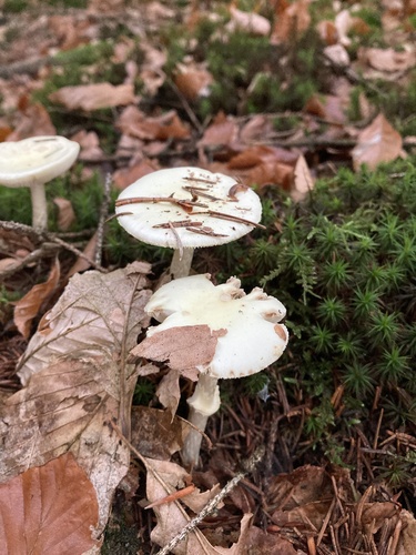
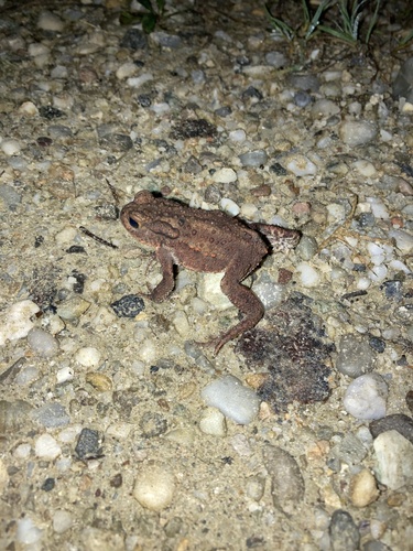
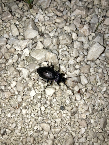
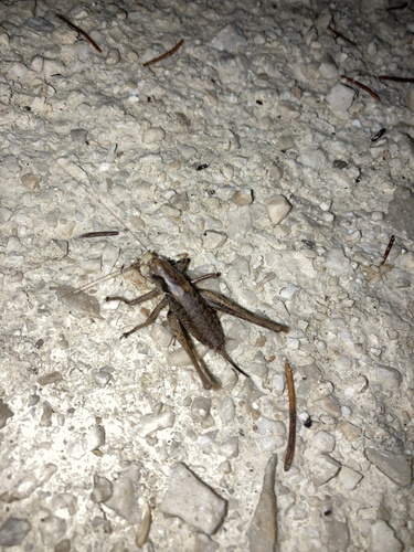
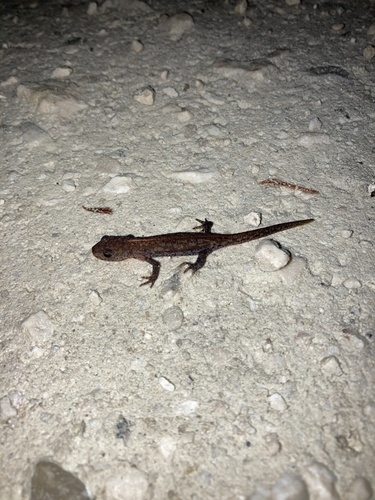
Research-grade observations from iNaturalist (within ~15 mi).
Events
Gallery
Official Identifiers
Statistik Austria
- GKZ
- 40431
- Population (Wikidata)
- 1,101
- Wikidata
- Q669169
Gemeindekennziffer via Wikidata P964
Sources
- • Wikidata
- • USGS Earthquake Catalog (global feed)
- • GBIF (Global Biodiversity Information Facility)
- • iNaturalist
- • Open-Meteo / sunrise-sunset.org
- • Statistik Austria — Gemeindekennziffer via Wikidata P964