Browse / Austria / Styria / Pirka
Pirka
Styriavillage
Demographic figures from Statistik Austria. Overview below cites Wikipedia and may reference a different year.
City facts
Overview
Pirka, a village in Styria, Austria, forms part of the country's settled landscape. On the world map it falls within the Eastern Hemisphere, specifically at 46.998°, 15.392°. No reliable population estimate is published for this entry in the open data we rely on. Its latitude implies a climate characterised by four distinct seasons with warm summers and cold winters. Solar-resource estimates put the area at about 1,265 kWh/m² of solar irradiance per year with sunshine for roughly 50% of daylight hours. Read on for charts and tables covering demographics, climate, hazards, schools, wildlife and other open-data indicators for Pirka.
Summary composed automatically from structured open data on this page. See our Terms for details.
History & geography
Geography
Coordinates & boundaries from the US Census TIGER/Line shapefiles.
Climate
Air quality
Walkability
Amenities nearby
Wildlife & biodiversity
Most-observed species
- Asian tiger mosquito, Forest day mosquitoAedes albopictus (Skuse, 1894) · Insecta2,669
- MallardAnas platyrhynchos Linnaeus, 1758 · Aves2,253
- Asian bush mosquitoAedes japonicus (Theobald, 1901) · Insecta2,155
- Tree Hole MosquitoAedes geniculatus (Olivier, 1791) · Insecta2,078
- Harlequin ladybird, Asian ladybird, Asian ladybeetleHarmonia axyridis (Pallas, 1773) · Insecta2,020
- Korean bush mosquitoAedes koreicus (Edwards, 1917) · Insecta2,004
- Roman SnailHelix pomatia Linnaeus, 1758 · Gastropoda1,936
- Common wall lizardPodarcis muralis (Laurenti, 1768) · Squamata1,847
Citizen-science & research observations from the Global Biodiversity Information Facility (GBIF).
Earthquake history
Most recent
- M 4.2 — 2026-07-231 km E of Schottwien, Austria
- M 4 — 2024-02-010 km NNE of Semmering, Austria
- M 4 — 2023-03-301 km WNW of Buchbach, Austria
- M 4 — 2013-02-026 km S of Sittersdorf, Austria
- M 4.2 — 2009-05-07Austria
- M 3 — 2008-12-291 km SSW of Gurk, Austria
Events from the USGS Earthquake Catalog (global) (FDSN Event Web Service).
Photos
Sights & places nearby
Notable people from here
Geography & sun
Elevation, sunrise/sunset and daylight from Open-Meteo. Solar climatology from NASA POWER.
Nearby airports
Public attention
Books about this place
Recent natural events nearby
Ground air-quality sensors
Recently spotted species
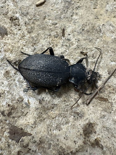
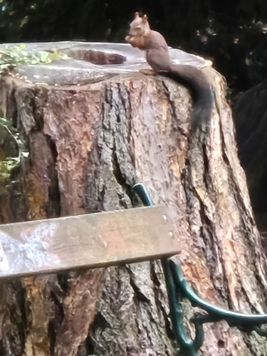
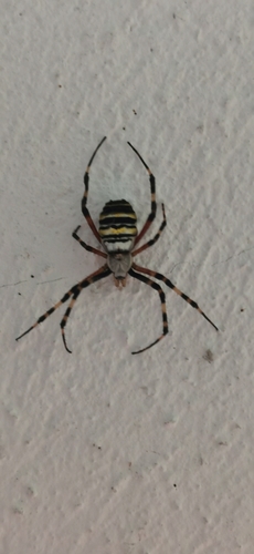
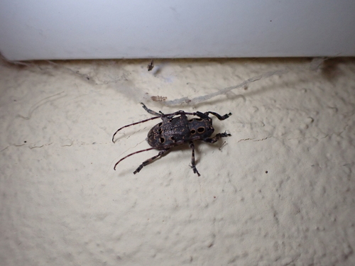

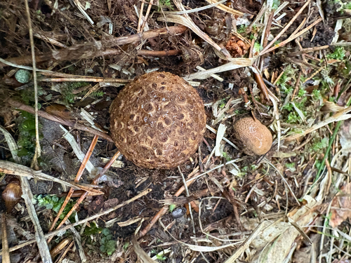
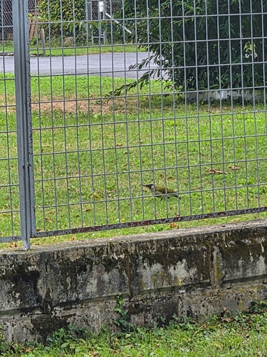
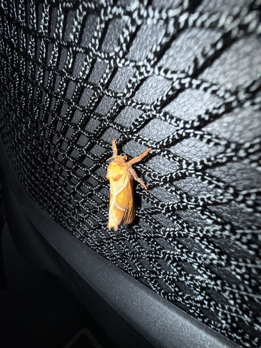
Research-grade observations from iNaturalist (within ~15 mi).
Events
Gallery
Official Identifiers
Statistik Austria
- GKZ
- 60633
- Population (Wikidata)
- 3,288
- Wikidata
- Q689616
Gemeindekennziffer via Wikidata P964
Sources
- • USGS Earthquake Catalog (global feed)
- • GBIF (Global Biodiversity Information Facility)
- • iNaturalist
- • Open-Meteo / sunrise-sunset.org
- • Statistik Austria — Gemeindekennziffer via Wikidata P964